Lake Pukaki
On the South Island of New Zealand, three fairly parallel alpine lakes run roughly north-south along the northern edge of the Mackenzie Basin. Lake Pukaki is the largest of these lakes. Lakes Tekapo and Ohau make up the other two. The terminal moraines of retreating glaciers obstructed the valleys where the three lakes were created, creating moraine-dammed lakes. For a portion of its length, the Alps2Ocean mountain bike track skirts the edge of Lake Pukaki.
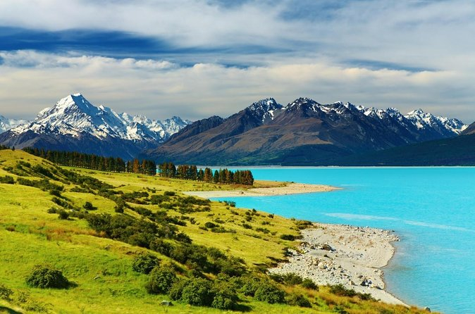
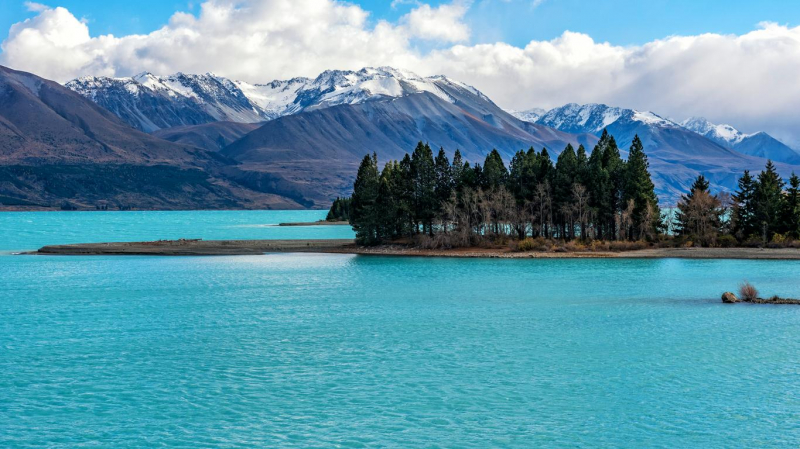
The lakes, which are bordered by some of the most beautiful alpine vistas in the nation, were created by glacier action thousands of years ago. The glacial feed, which consists of glacial flour, or the incredibly finely crushed rock from the glaciers, gives the lakes their characteristic blue color. The surface elevation of Lake Pukaki, which has a surface size of 178.7 km2, typically varies between 518.2 to 532 meters above sea level.
The lake's waters frequently have a hazy but brilliant aquamarine tint, which makes for excellent images and appears to be an unnatural phenomenon. Mount Cook is the area's most magnificent peak and is covered in snow for much of the year.
Location: Mackenzie District, Canterbury region, South Island


