Lake Sarez
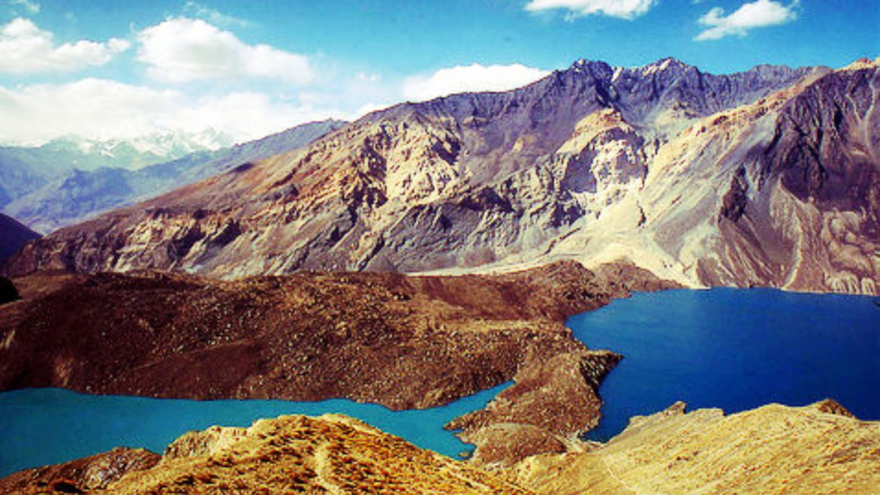
A large landslide that erected a dam on the Murgab river and gave birth to lake Sarez in 1911 was caused by a powerful earthquake deep in the Pamir mountains. Since then, the 28-kilometer lake has expanded to a length of 75.8 km.
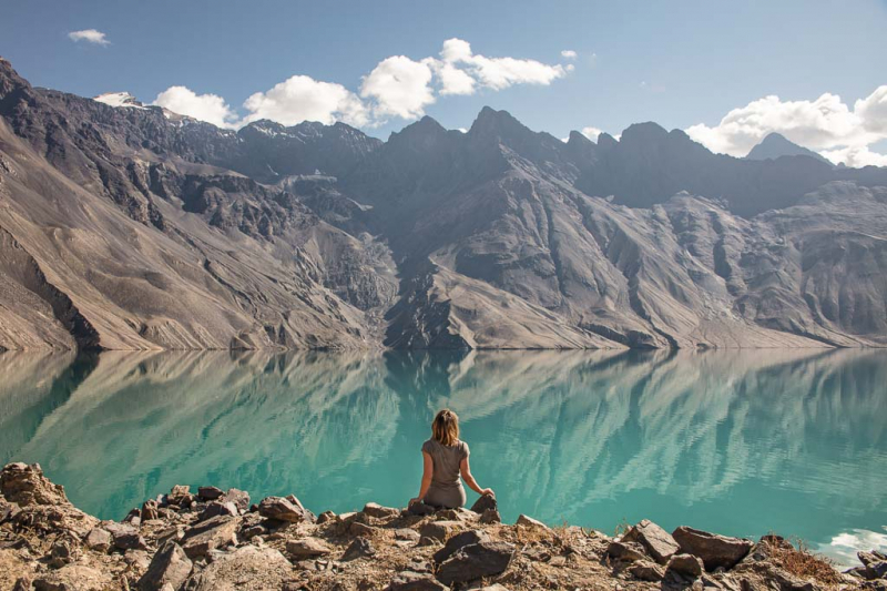
Currently, Sarez is a stunning lake at the height of 3340 meters, encircled by mountains that climb more than 2300 m above lake level. The name of the settlement that sank to the lake's bottom gave rise to its moniker. From Barchadiff village in the Bartang valley, where a hiking route leads to Bachor village or Yashilkul lake in 4-5 days, a well-built 16 km steep path leads to the lake with 800 meters height difference.
A special permit must be obtained before visiting the lake, and it can be reached with a 4-wheel drive from either Vomar town in the western part of the Pamir Highway (130 km) or from the route that begins on the eastern section of the Pamir Highway at Karakul Lake (150 km).
Location: Rushon District of Gorno-Badakhshan province, Tajikistan
Max. length: 75.8 kilometres (47.1 mi)
Max. width: 3.3 kilometres (2.1 mi)
Surface area: 79.7 square kilometres (30.8 sq mi)
Average depth: 201.8 metres (662 ft)
Max. depth: 505 metres (1,657 ft)
Water volume: 16.074 cubic kilometres (3.856 cu mi)
Shore length: 1162 kilometres (101 mi)
Surface elevation: 3,263 metres (10,705 ft)


