Learning Geospatial Analysis with Python


Joel Lawhead is the Chief Information Officer of NVision Solutions Inc., an award-winning firm specializing in geospatial technology integration and sensor engineering for NASA, FEMA, NOAA, the US Navy, and many other commercial and non-profit organizations. He is also a PMI-certified Project Management Professional and a certified GIS Professional.
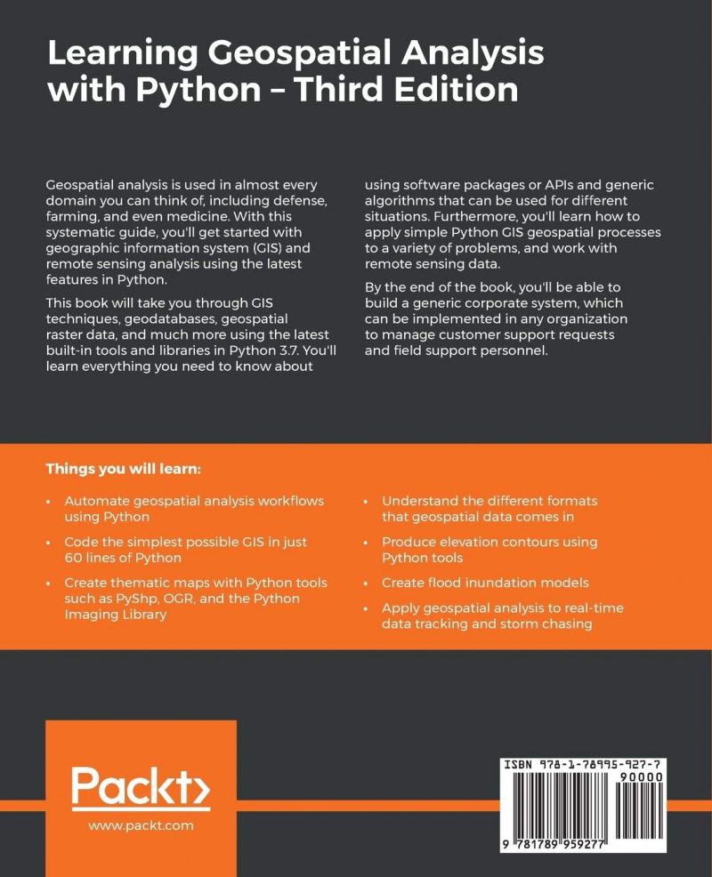
Geospatial analysis is employed in practically every industry, including defense, agriculture, and even health. Using the latest Python capabilities, you'll get started with geographic information system (GIS) and remote sensing analyses.
Learning Geospatial Analysis with Python will walk you through GIS methodologies, geodatabases, geographic raster data, and much more, all while using Python 3.7's latest built-in tools and modules. You'll learn everything there is to know about using software packages or APIs, as well as generic algorithms that can be applied in a variety of circumstances. You'll also learn how to apply simple Python GIS geographic procedures to a range of issues, as well as how to work with remote sensing data.
By the end of the book, you'll be able to create a generic corporate system that can be used to manage customer support requests and field support employees in any firm.
What you will discover:
- Python can be used to automate geospatial analytic procedures.
- In just 60 lines of Python, create the most basic GIS conceivable.
- Python technologies such as PyShp, OGR, and the Python Imaging Library can be used to create thematic maps.
- Understand the various formats in which geospatial data is available. Create elevation contours using Python tools.
- Create flood inundation simulations.
- Geospatial analysis can be used for real-time data tracking and storm chasing.
Learning Geospatial Analysis with Python is intended for Python developers, researchers, and analysts who want to use Python for geographic modeling and GIS analysis. A basic understanding of digital mapping and analysis using Python or other programming languages will be advantageous.
Author: Joel Lawhead
Link to buy: https://www.amazon.com/Learning-Geospatial-Analysis-Python-fundamentals-ebook/dp/B07XQ9N7MT/
Ratings: 4.5 out of 5 stars (from 23 reviews)
Best Sellers Rank: #429,897 in Kindle Store
#14 in Remote Sensing
#14 in Bioinformatics (Kindle Store)
#15 in GIS Programming