Lower Zab


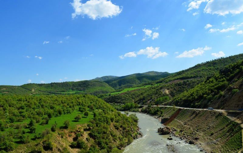
Lower Zab, also known as the Little Zab, is an Iranian river that flows into the Tigris just south of Al Zab in Iraq's Kurdistan region. It stretches for around 400 kilometers and drains a total area of nearly 22,000 square kilometers. Rainfall and snowmelt feed the river, resulting in a peak discharge in the spring and low water in the summer and early fall. On the Little Zab, two dams have been built to control river flow, provide irrigation water, and generate hydroelectricity. The Zagros Mountains have been inhabited since the Lower Palaeolithic, while Barda Balka, the earliest archaeological site in the Little Zab basin, dates from the Middle Palaeolithic. Since then, the human occupation of the Little Zab basin has been documented at various times.
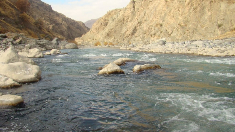
At an elevation of around 3,000 meters, the Little Zab rises in Iran's Zagros Mountains. The orientation of the major mountain systems that make up the Zagros determines the flow of the Little Zab in its higher reaches. As a result, the river travels through basins that are primarily lined along a northwest-southeast axis, parallel to the major mountain chains of the Zagros, before abruptly changing course where it cuts through these chains in tiny gorges. The Baneh River and the Qala Chulan are the two biggest tributaries that join the Little Zab upstream from Dukan.
Length: 249 miles (shared with Iran)