Maja Rosit
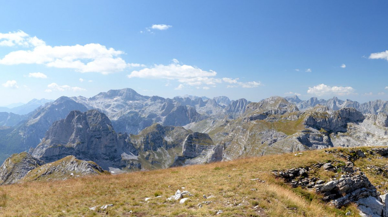
Maja Rosit is a 2524 m high peak on the Albanian-Montenegrin border in Prokletije. After the Zla Kolata and before the Bobotov Kuk near Durmitor, it is Montenegro's second highest peak.
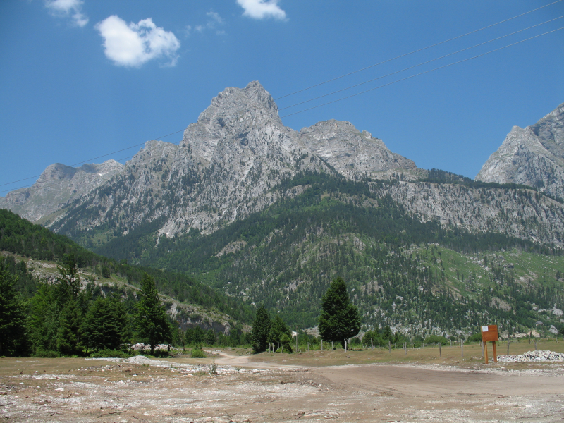
The Jezerca, the highest mountain in the Prokletije at 2694 meters above sea level, is located slightly over five kilometers southwest. The peak rises between the Jezerca and Kollata massifs (2552 m above sea level). Valbona Valley, in the south, has a severe drop in elevation. The Maja Rosit is hidden by the Maja e That (2405 m above sea level) on the pointed southeast ridge, making it impossible to see from Valbona. It is somewhat flatter in the north following initial rock faces in the top area, therefore Herbert Louis writes of a vast "plateu-like mountain mass" that forms the watershed between Drin and Lim or Danube here in the north of the Valbona valley. Maja Rosit, like the rest of the region, is made of limestone.
The climb over the saddle in the west is long and steep, but it is problem-free due to the lack of climbing points. Steep meadow slopes make up the summit area. On the Montenegrin side, the mountain is climbed through the Ropojana Valley and the AlmRoman from Vusanje near Gusinje. A panoramic vista of the mountains of Prokletije may be seen from the peak.
Elevation: 2522 m (8274 ft),
Range: Prokletje,
Location: eastern Montenegro


