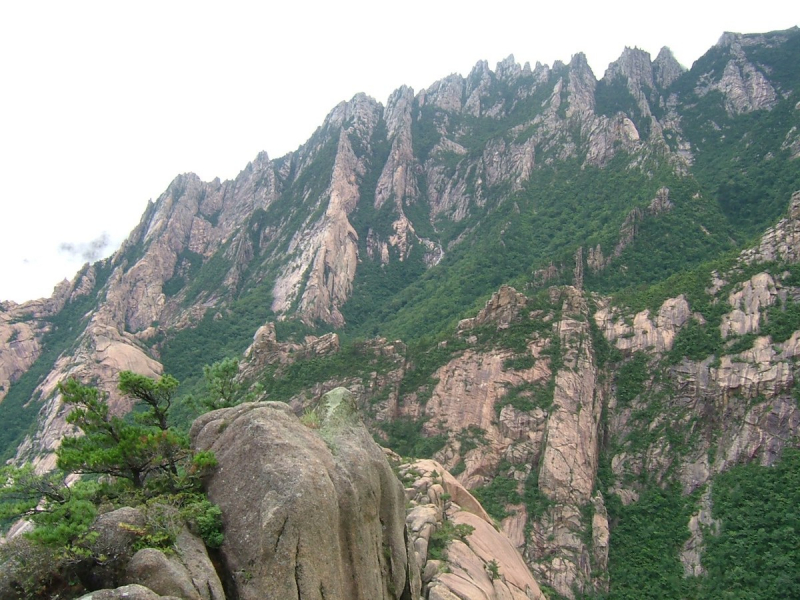
Mantapsan
The mountain is located on the boundary of North Korea's Kilju, Myongan, and Orang Counties. It has a granite peak that rises to 7,234 feet, making it the country's second tallest mountain. The mountain is a nuclear denotation site, with extensive tunnels constructed by Korean POWs for use in nuclear testing on the eastern side. It was here that nuclear tests were conducted in 2006, 2009, 2013, and 2016. It also houses North Korea's largest concentration camp.
At the nuclear test site in P'unggye-ri, political prisoners were reportedly forced to construct tunnels into the southern side of the mountain. The horizontal tunnels are thought to be two to three meters broad and tall, with hundreds of meters of length. The sixth and largest explosion, believed to be the final, "caused the mountain bulge sideways by about 12 feet and fall vertically by about a foot and a half," according to international analysts, with one seismologist describing the subsequent reaction as the mountain "pancaking." The largest North Korean concentration camp, Hwasong, is located between Mantapsan and Mynggan (Hwasng), covering 549 km2 (212 sq mi).
Height: 7,234 feet
Location: Kilju County, North Hamgyong Province, North Korea


