Manucoco
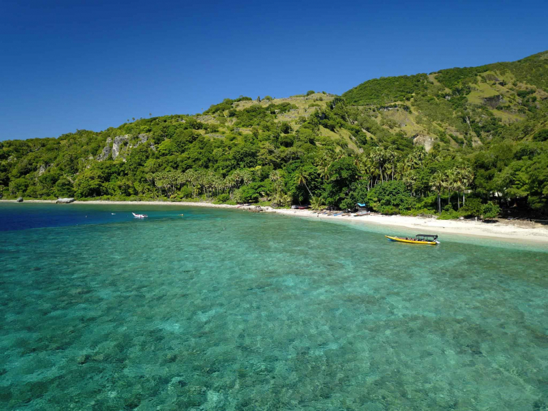
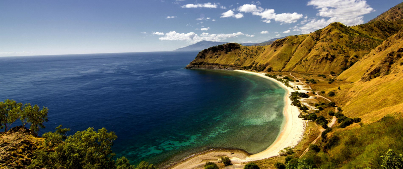
Manucoco, also referred to as Gunung Manucoco or Mount Manucoco, is a mountain in the Atauro Island subdistrict of the Dili District of East Timor. It stands near the southern end of Atauro Island, at the western end of Wetar Strait, some 25 km (16 minutes) north of Dili, the nation's capital. It is home to 8000 people, most of whom live in two communities on the island's eastern side. Because there are few motor vehicles on the island, it is ideal for trekking and animal discovery.
The island's rough morphology is the consequence of the erosion of elevated, previously submerged volcanoes from the Neogene epoch, which created narrow, dissected ridges and steep slopes, with Manucoco constituting the highest point. Patches of tropical semi-evergreen mountain forests may still be found in protected valleys at the top elevations of the mountain (above a height of 995 m (3,264 ft)), spanning around 40 km2. BirdLife International has designated the peak, as well as the entire island of Atauro, as an Important Bird Area because it supports populations of numerous restricted-range native bird species found in Timor and Wetar.
Height: 995 meters
Location: Atauro Island


