Mesa Potamos Falls
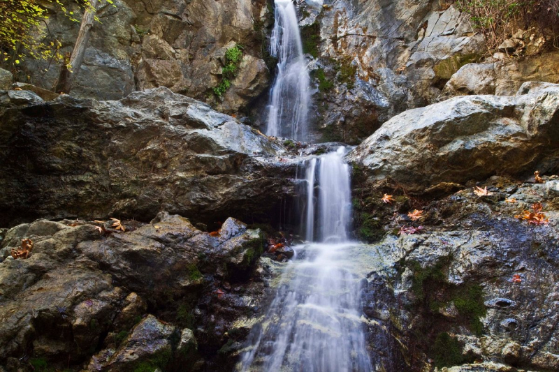
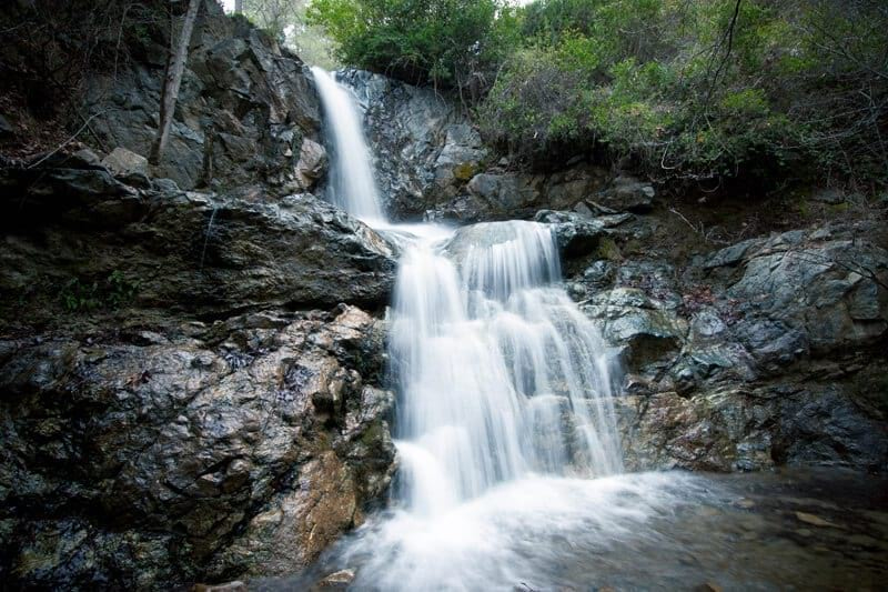
You can only find this kind of breathtaking natural beauty in Cyprus, which you can see at the Mesa Potamos Falls. The Mesa Potamos Waterfalls follow the Arkolachanias River's riverbed at a height of 1,000 meters. The area around the river is heavily vegetated. Pines make up the majority of it, which gives the area a lovely scent. It's a great location, so you might wish to camp there for a while. The name of the river is the source of Mesa Potamos' name. The visitor can take the dirt road from Saitas, which is 5 km long, the dirt road from the Moniatis village, which is 5.5 km long, the dirt road from the village of Platres, which is 6 km long, the dirt road from the village of Kato Amiantos, which is 7 km long, and the 200 meter downhill trail from the Mesa Potamos picnic area.
The trip to Mesa Potamos takes a little bit more time. You must first follow the dirt route leading from Saitas. From there, you'll go on an 8-kilometer dirt road with your vehicle or a driver through the towns of Maniatis, Platres, and Kato Amiantos. On occasion, you should stop to take in some of the interesting sights along the path, particularly the interaction of various natural components like water, rock, fauna, and vegetation. You will eventually arrive at the Mesa Potamos picnic area. You may reach the waterfalls from the picnic area by using a 200-meter downhill route.
Location: Limassol mountains


