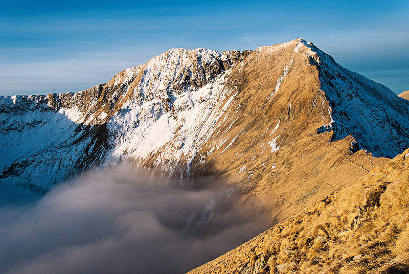
Moldoveanu

The Moldoveanu mountain top, at an elevation of 8,346 feet (2,544 meters) above sea level, is Romania's highest point. Arges county is home to the Moldoveanu mountain peak. Moldoveanu is located in the Fagaras Mountains, which are part of the Southern Carpathians, a larger collection of mountain ranges. Its parent ranges are the Fagaras Mountains and the Southern Carpathians. The peak's summit has an honorary marking designating it as the country's tallest point and for tourists to see when they reach the top.
The route to the peak is highlighted with a red mark on the way up. It begins with a steep and gradual ascent. It's followed by a brief, gentle ascent beside a lake, before the path abruptly ascends once more. The path leads to Vistea summit before reaching Moldoveanu mountain. The scenery is breathtaking. On your way, you'll come across donkeys and sheep. On the walk, there are three large lakes: one on the way up and two on the way down. The view of the Fagaras Mountains from the summit is breathtaking. The way down is marked by blue mark. The descent is gentle until Valea Rea where it starts to be a bit abrupt, but with no technical challenges.
Location: Fagaras Mountains, Southern Carpathians
Height: 8,346 feet (2,544 meters)


