


Top 5 Highest Mountains In Romania

Romania is a country in the southeastern part of Europe that is frequently referred to as a member of the Balkans geopolitical community. Until 1989, the ... read more...country was a member of the Soviet Eastern Bloc, but it joined NATO in 2004 and the European Union in 2008. Despite the fact that this page is about the country's mountains, Romania's Transylvania Region is best known for its medieval cities, castles, and, of course, the legend of the vampire Count Dracula. Here are top 5 highest mountains in Romania
-
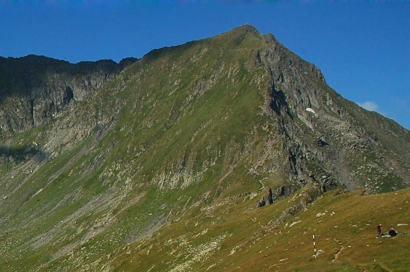
The Moldoveanu mountain top, at an elevation of 8,346 feet (2,544 meters) above sea level, is Romania's highest point. Arges county is home to the Moldoveanu mountain peak. Moldoveanu is located in the Fagaras Mountains, which are part of the Southern Carpathians, a larger collection of mountain ranges. Its parent ranges are the Fagaras Mountains and the Southern Carpathians. The peak's summit has an honorary marking designating it as the country's tallest point and for tourists to see when they reach the top.
The route to the peak is highlighted with a red mark on the way up. It begins with a steep and gradual ascent. It's followed by a brief, gentle ascent beside a lake, before the path abruptly ascends once more. The path leads to Vistea summit before reaching Moldoveanu mountain. The scenery is breathtaking. On your way, you'll come across donkeys and sheep. On the walk, there are three large lakes: one on the way up and two on the way down. The view of the Fagaras Mountains from the summit is breathtaking. The way down is marked by blue mark. The descent is gentle until Valea Rea where it starts to be a bit abrupt, but with no technical challenges.
Location: Fagaras Mountains, Southern Carpathians
Height: 8,346 feet (2,544 meters)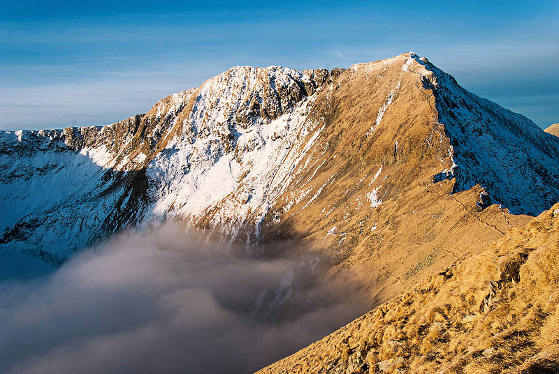
thebestviewpoints.com 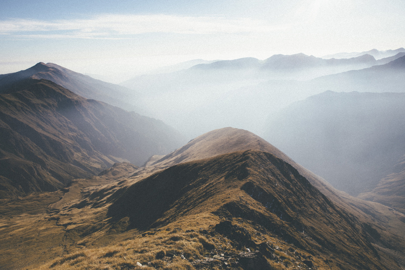
thebestviewpoints.com -
2nd place in the list of highest mountains in Romania is the Fagaraş Mountains. The Fagaraş Mountains are among the most intriguing and huge mountains in Romania's Carpathian Mountain range. They encompass about 3,000 square kilometers of rugged terrain that stretches for 70 kilometers along the east-west ridge, with peaks reaching altitudes of above 2000 meters.
The range spans more than 40 kilometers from north to south. It has a smooth structure with austere beauty and storied glacial interfluves, where the bioclimate defines the unique features that make up the Fagaraş' typical alpine scenery. The CFR Curmătura Mărului to Tama is the most important and notable sector of high ridges, across which pass most recognized trails along the Olt Valley (360 m). It follows the official boundaries of Sibiu County but comes to a halt just outside of Bran. An aerial view of Făgăraş exposes two distinct landscapes. The first is high and ruiniform, sculpted by glaciation, while the second, known as glacial and nival, is magnificent in appearance, with rounded monotonous formations carved out by torrents or rivers that have carved deep and narrow valleys. This is an excellent illustration of a river-torn landscape.
Location: Romania's Carpathian Mountain
Height: 8,316 feet (2,534 meters)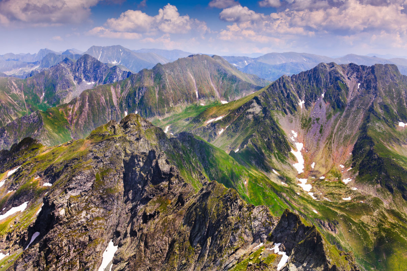
youtube.com 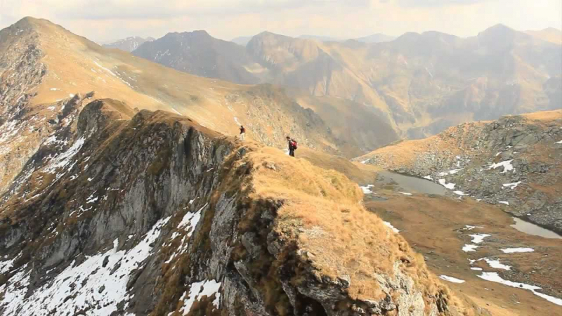
youtube.com -
The Vistea Mare mountain top, at an elevation of 8,291 feet (2,527 meters) above sea level, is Romania's third highest point. The Fagaras Depression, through which the Olt River flows on a milder grade south to the Carpathian foothills, is visible from their high northern wall, which reaches above 8,000 feet (2,450 m). With lakes, fretted summits, and morainic deposits, the mountains are highly glaciated. The Vistea Mare is found in the county of Brasov.
The Vistea Mare is found in the Fagaras Mountains, which are part of the greater overall group of mountain ranges called the Southern Carpathians. The Fagaras Mountains and the Southern Carpathians both serve as its parent range. Up near the peak of Vistea Mare is the Refuge Vistea, a small hut for tourists and climbers to rest or stay the night in.
Location:Făgăraș Mountains
Height: 8,291 feet (2,527 meters)
peakery.com 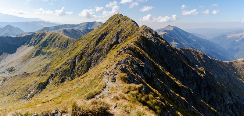
peakery.com -
The Parangua Mare mountain summit, which stands at 8,264 feet (2,519 meters) above sea level, is Romania's fourth highest point. The Parangua Mare lies on the boundary of the counties of Gorj and Hunedoara. The Parangu Mare is located in the Parang Mountains, which are part of the Southern Carpathians, a larger set of mountain ranges. Its parent ranges are the Parang Mountains and the Southern Carpathians. Tourists who want to visit and climb the Parangu Mare peak or the surrounding surroundings can lodge near the start of the trail up the mountain at the Agatat Shelter, Groapa Seaca Cabin, or Obirsia Lotrului Cabin.
Whereas the majority of the vast mountainous area comprising the Parang mountain group – between the Retezat in the east and the Făgăraş in the west – is made up of crystalline schists, gneisses, and other metamorphic rocks, and appears to be a rolling upland, elevated high and dissected by a handful of deep valleys, the central part of the Parang proper is made up of granite and other igneous rocks.
Location: Parang Mountains, Southern Carpathians
Height: 8,264 feet (2,519 meters)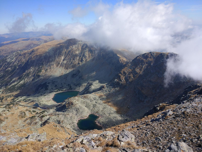
wikiloc.com 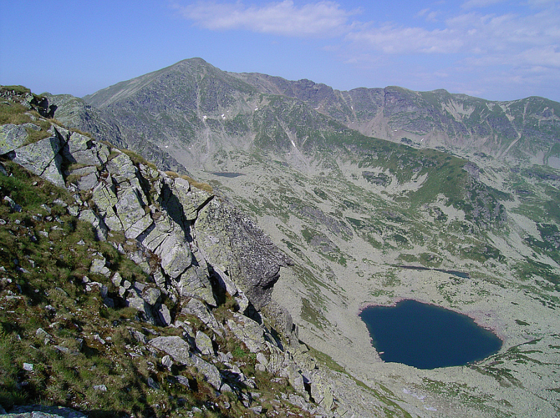
wikiloc.com -
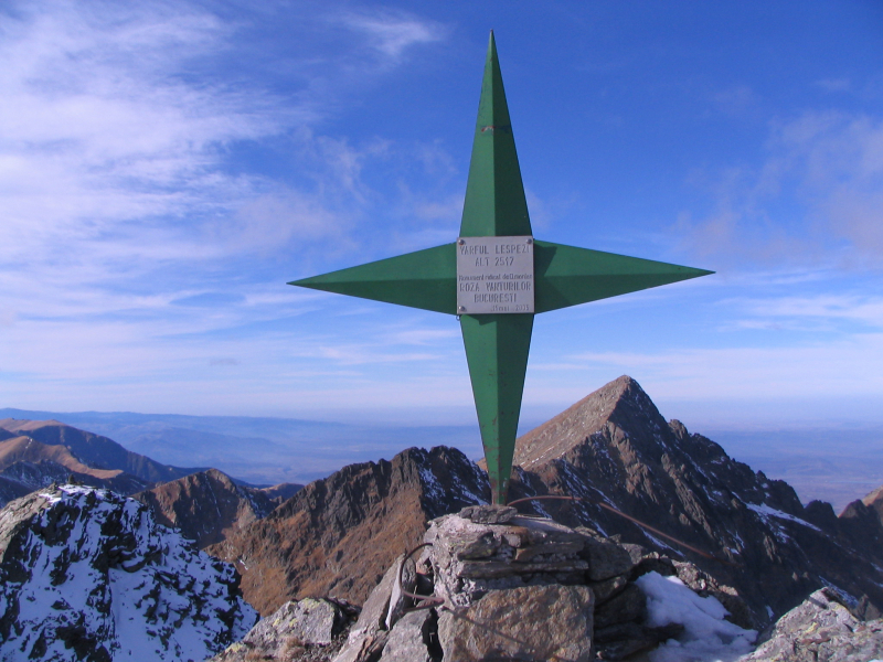
Lespezi is the last mountain on Toplist's list of the highest mountains in Romania. Lespezi mountain's peak, at an elevation of 8,257 feet (2,516 meters) above sea level, is Romania's sixth highest point. Arges county is home to the Lespezi mountain peak. Lespezi is located in the Fagaras Mountains, which are part of the Southern Carpathians, a larger set of mountain ranges. Its parent ranges are the Fagaras Mountains and the Southern Carpathians. Limestone for cement and lime is extracted in the Lespezi quarry. Limestone is a huge deposit found in the Lespezi Mountains in the Carpathians. The limestone layer has a total thickness of 350–400 m and is derived from the geological era Tithonic in the Stramberg facies.
The Lespezi quarry contains a diverse spectrum of mining environments. The primary habitats include bare and poorly vegetated work horizons (benches), steep slopes, a diverse range of screes, a few groves with bushes and trees, and larger remnants of natural ecosystems. Roadsides, screes, and garbage dumps are the most common habitat types, with plant communities of coltsfoot (Tussilago farfara), flattened meadow grass (Poa compressa), and willows (Salix spp.). The degree of vegetation coverage varies depending on the age of the sites and the fine material concentration.
Location: Romania
Height: 8,257 feet (2,516 meters)
commons.wikimedia.org 
exploretransfagarasan.ro


