Mont Sokbaro

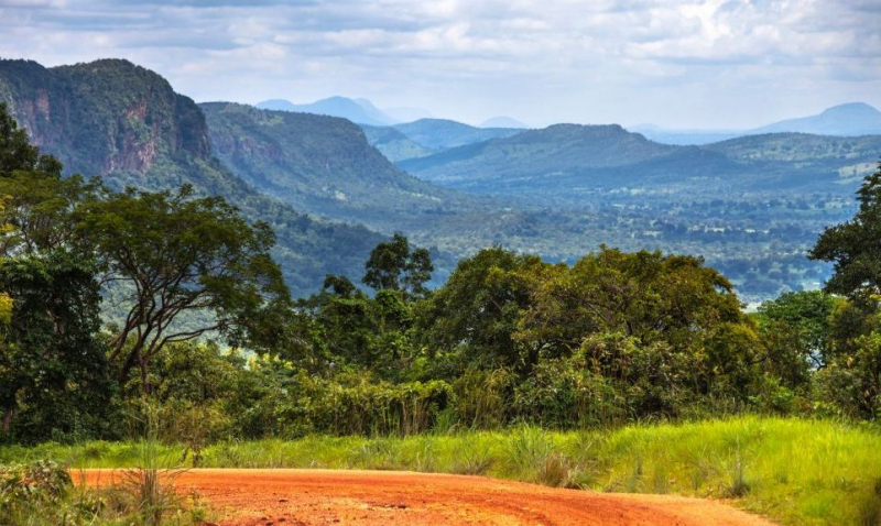
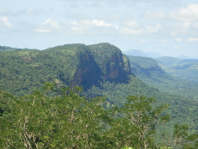
Mont Sokbaro (sometimes spelled Sagbarao) is a mountain in Benin that is commonly referred to as the country's highest point, with an elevation of 658 meters (2,159 ft). This identification is being challenged since SRTM measurements at 10°17′22′′N 1°32′38′′E suggest an elevation of 672 meters (2,205 ft). This is 2.5 kilometers (1.6 miles) southeast of Kotoponga.
Mont Sokbaro is located near the source of the Mono River on the boundary between Benin's Donga Department and Togo's Kara Region. It's 58 kilometers (36 miles) from the town of Bassila. The hill is part of the Atakora Mountains' quartzite massif, which extends westward into the latter nation and is known as the Togo Mountains. Some of these are at greater heights than others. Lower ground with an average elevation of 550 meters may be found on Benin's eastern side (1,800 ft). Tchèmbèré, Aledjo-Koura, and Akaradè are nearby settlements. Hiking activities take place at the top of the hill, although the region may benefit from greater tourism development.
Height: 658 m (2,159 ft)
Location: Benin - Togo border


