Mount Liamuiga
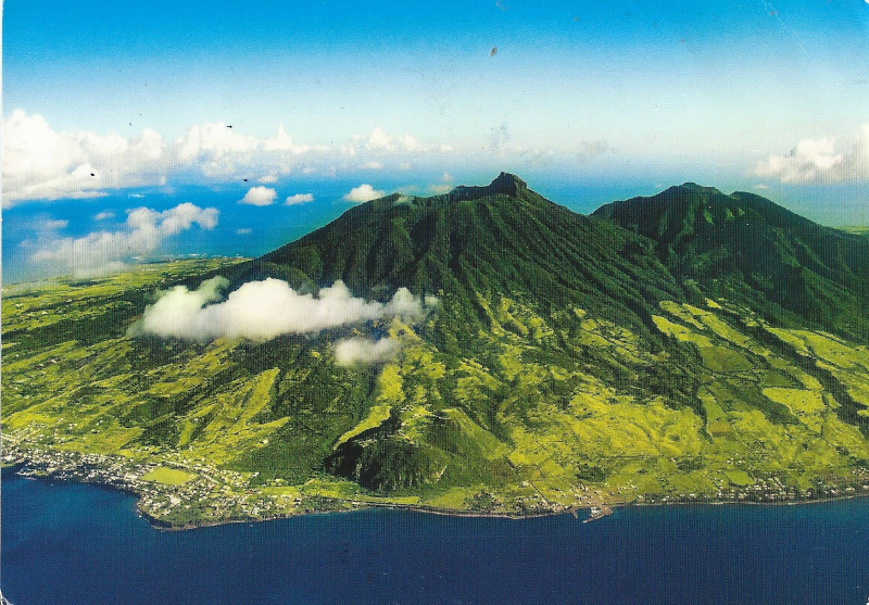
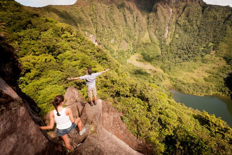
Mount Liamuiga is a stratovolcano that rises 3,792 feet (1,156 meters) above sea level on Saint Kitts' western coast. The mountain is the highest point on Saint Kitts, in the Saint Kitts and Nevis Federation, and in the entire British Leeward Islands, as well as one of the tallest peaks in the eastern Caribbean archipelago. The summit is capped with a 0.6-mile (1-kilometer) wide summit crater that once held a tiny crater lake. The crater lake had reformed as of 2006. The volcano's latest confirmed eruptions were over 1,800 years ago, and rumors of probable eruptions in 1692 and 1843 are deemed suspect.
Mount Misery was the previous name for Mount Liamuiga. The renaming took place on September 19, 1983, the anniversary of St. Kitts' independence. Many older residents, though, still refer to it as Mount Misery. Liamuiga is taken from the Kalinago name for St. Kitts' entire island, which means "fertile land."
Up to 1,500 feet (460 meters) in elevation, the mountain sides are covered in farms and small communities, after which luxuriant tropical rainforests wrap the slopes until cloud forest takes over at 3,000 feet (900 m). Many tours and guided treks to the peak's summit and surrounding rainforests are offered, with most departing from Belmont Estate in St. Paul's. The views from the peak are spectacular, with panoramic views of the entire island, the gorgeous Caribbean Sea, and the neighboring islands of Saba, Sint Eustatius, Saint Barthélemy, Saint Martin, Antigua, and Nevis.
Location: on the west side of the island of Saint Kitts
Elevation: 1,156 m (3,792 ft)


