Mount Wilson

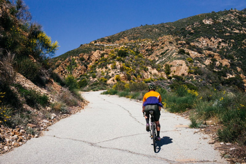
Explore the San Gabriel Mountains if you've been riding a lot and are getting tired of Elysian Park, Griffith Park, and the beach. A fantastic way to get acquainted with the sizable Angeles National Forest is to ride to the top of Mount Wilson. The distance from the base of the Angeles Crest Highway to the summit of Mount Wilson is approximately 19 miles, with a climb of 4,500 feet.
By any standard, it's a difficult climb. The distance from the base of the Angeles Crest Highway to the summit of Mount Wilson will take you two to three hours to ride. Both the ranger station at Clear Creek Junction and the Mount Wilson Road turnoff provide water. The reward is a stunning panorama over the greater Los Angeles region. After that, indulge at the Mt. Wilson Observatory's Cosmic Cafe.
Although it normally doesn't get very busy on weekends, traffic does. Excellent times to exercise are weekday middays, weekend mornings, and evenings. Avoid rush hour as fast-moving Palmdale commuters who don't want to wait on the 14 Freeway use Angeles Crest.
Once more, the directions are ambiguous. Near the start of the route, there is a ton of unrestricted home parking. Additionally, the Angeles Crest Highway and the Gold Line are in close proximity. From the Memorial Park station, a 30-minute trip will take you to the base of Angeles Crest.
Length: 14.5 miles


