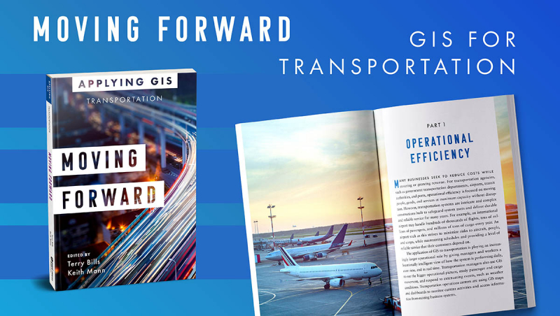
Moving Forward: GIS for Transportation
Location intelligence is transforming how transportation organizations and departments safeguard, maintain, and achieve operational excellence. Geospatial analytics, real-time dashboards, and mobile apps are driving new, more efficient workflows and opening the path for innovative, cost-effective solutions.
Location information for transportation management is no longer solely for GIS professionals, thanks to improvements in smart technology. See how ports, airports, transit authorities, and transportation departments around the world have used geographic information systems (GIS) to visualize and analyze data for operational efficiency, safety and security, asset management, and planning and sustainability in "Moving Forward: GIS for Transportation."
Learn how GIS was utilized to solve problems in this collection of case studies and guidelines.
- Increase airport capacity while saving millions of dollars.
- Centralize multifaceted port security for daily operations monitoring.
- Daily transportation maintenance work on $1 trillion in tangible assets must be coordinated.\
- Plan contemporary data governance for a state-wide transportation agency.
Transportation personnel get a greater knowledge of infrastructure maintenance and operational performance in a real-world environment using web applications, online maps, dashboards, and other GIS tools, enhancing productivity while improving communication and cooperation.
"Moving Forward: GIS for Transportation" explains how GIS and location intelligence are assisting transportation businesses in strengthening their capacity to maintain roads and highways, railway systems, and other critical infrastructures.
Author: Terry Bills, Keith Mann
Link to buy: https://bom.so/F7BULb


