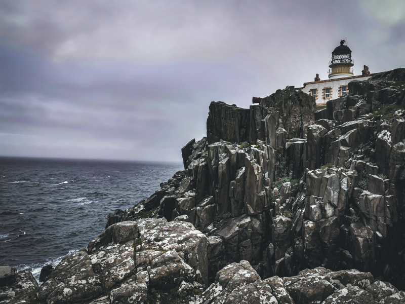
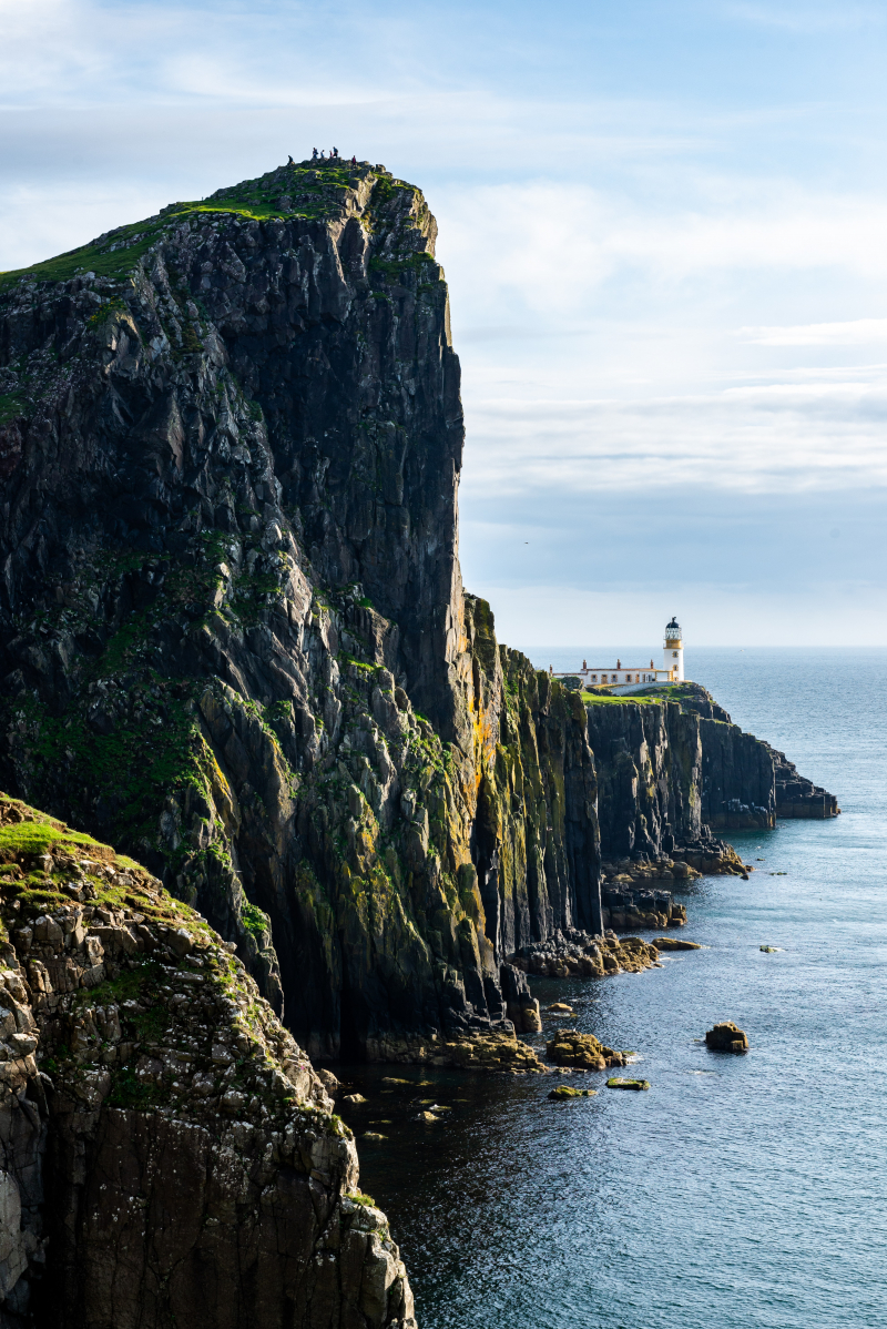
Neist Point Lighthouse
One of Scotland's most well-known lighthouses, Neist Point, is situated close to the Glendale village on Skye's westernmost point. Although it's a short distance to the bottom, the concrete route can occasionally be extremely steep. A top site for landscape photographers, the walk offers breathtaking views of the tall cliffs and the lighthouse itself. At sunset, the panorama is even more breathtaking. This walk follows the same road both down and back because there is only one safe route. The walk is 2.2 kilometers long and takes on average, 45 minutes to complete (with no stops).
Neist Point is located in the "Durinish" neighborhood on Skye's West Coast. The single-track road's absolute end, close to Glendale, is where the hike begins. In all types of weather, this hike is not recommended. It is not advised in windy or foggy weather because it brings you close to towering cliffs (low visibility). 10.5 miles from Dunvegan, at the very end of the single-track road, is where the carpark is located (taking 30 minutes to drive). It is 31 miles away from Portree and will take around an hour to drive there. The parking lot is small and gets full quickly, however there are more spaces along the road further back down the road.
Although the surrounding cliffs can be seen from the parking lot, the lighthouse itself cannot be seen until you go back along the bluff to the right of the parking lot (worth doing as it offers a great view or photo). Keep dogs on a short leash as there will be sheep grazing beside the route. The Walk Slideshow provides a step-by-step description of everything you will face, so be sure to check through it.
Location: Scotland


