Saint-Mathieu Lighthouse
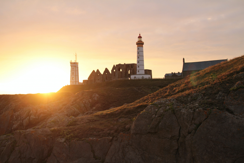
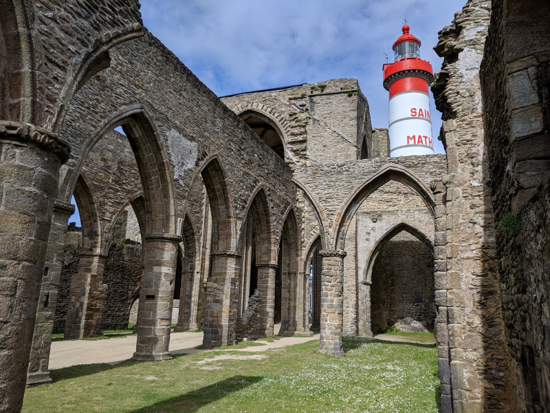
The Saint-Mathieu lighthouse was constructed in 1835 amid the ruins of the historic Abbaye Saint-Mathieu de Fine-Terre and is situated on Pointe Saint-Mathieu in Plougonvelin, close to Brest in Finistère. The cape's name comes from the Abbey, which was built to contain the skull of Saint Matthew the Evangelist and was dedicated to him. It was once a Benedictine abbey, but in the middle of the 17th century, the Maurists restored and reformatted it. The first abbey at this region is said to have been established in the sixth century by Saint Tanguy, who selected it for its remote location amid the territories he had received. Due to its proximity to the sea, the Abbey was able to be mostly sealed off from the outside world while still being accessible.
With a theoretical range of 29 nautical miles, the lighthouse is a significant lighthouse along the French coastline (around 55 km). It indicates the direction of the Chenal du Four, which temporary ships used to follow on a north-south axis before the creation of the Rail d'Ouessant, the maritime traffic separation system off the island of Ouessant, the westernmost island of Brittany and France and signifying entry (or exit) from the English Channel. With an average of 148 ships each day, it is one of the busiest sea routes in the world. The alignment of Saint-Mathieu with the Portzic Lighthouse also shows the entrance to the Goulet de Brest, a 3-km-long strait that connects the Brest roadstead to the Atlantic Ocean. The lighthouse, which was designated as a monument historique on May 23, 2011, the ruins of the abbey, and a semaphore are all located on the promontory of Saint-Mathieu.
The lighthouse is open to the public, and after a climb of 163 steps you can enjoy a magnificent panorama. The site also houses the National Memorial of Sailors who died for France, erected in 1927.
Location: France


