Norwegian Fjords

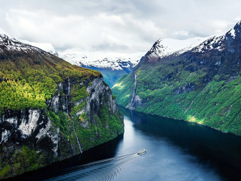
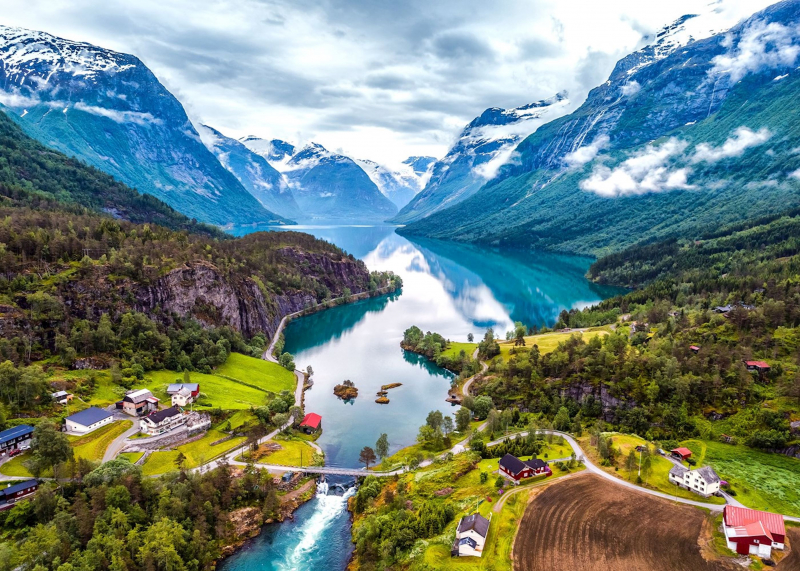
Cutting in from the sea, steep mountains rise up to 2000 meters above sea level, creating lush, fertile soil along the coast. Mild, salty water reaching depths of 1300 meters. Passages so tight that you can sometimes touch the mountaintop with your fingertips up on deck as the ship sails in. The Norwegian Fjords have always left people with lifelong memories - and momentary neck aches from staring at the vistas. For example, once-inaccessible mountaintop farms, small communities, seals, porpoises, and schools of fish swimming in the waters, with eagles and other birds peering down from above.
A fjord is a deep, narrow, and elongated ocean entrance etched into the landscape on three sides by steep mountains. The fourth side, known as the fjord's mouth, is open to the sea. The fjords emerged as glaciers receded and are a notable part of the Norwegian coastal environment, stretching from Hurtigruten's southernmost port of Bergen all the way north to Kirkenes.
The most famous fjords in Norway, however, are found in the western and northern regions. Geirangerfjord, Hjrundfjord, and Nordfjord are three UNESCO World Heritage Sites in the west, with high mountains, waterfalls, and pleasant communities full with fruit trees. You may see the Trondheimsfjord on your journey to Trondheim. Trollfjord, which is only 100 meters wide at its narrowest point, is one of the country's most intriguing fjords.


