Oder

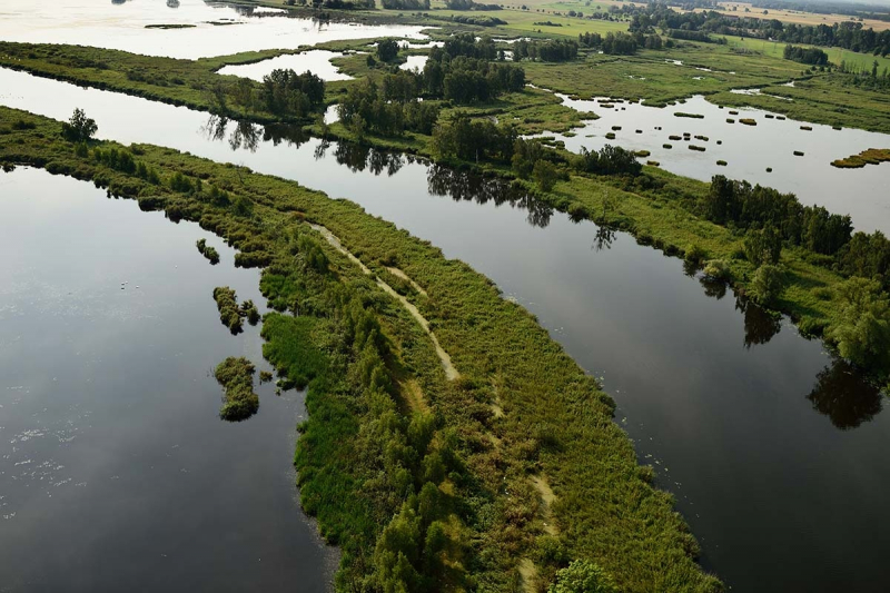
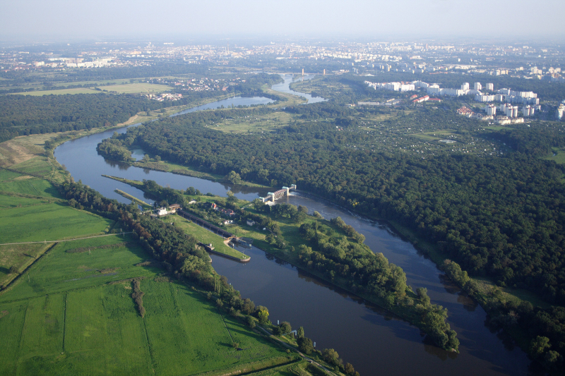
The Oder River originates in the Czech Republic and runs through Poland, establishing a boundary between Poland and Germany. The river has numerous names in different languages, including Oder (English and German) and Odra (Polish and Czech). The Oder runs for 531 kilometers, 70 miles in the Czech Republic and 461 miles in Poland, and drains a total area of 45,892 square miles. Its major branch flows into the Szczecin Lagoon. With the upstream canalization, a substantial portion of the Oder River is navigable, allowing big boats to transit the industrial areas near Wroclaw. After a protracted period of rejection, the river was finally acknowledged as the boundary between Poland and East Germany in 1950. Before the Slavs settled along its banks, the river was a vital commerce route. Dams were erected along its banks, however, to safeguard agricultural land. The Oder is also a significant supplier of domestic water for the majority of cities, including Ostrava, Police, Nowe Sol, Wroclaw, and Wolin.
The Oder is navigable for most of its course, all the way upstream to the town of Kole, where it joins the Gliwice Canal. The upstream section of the river has been canalized, allowing bigger barges (up to CEMT Class IV) to transit between industrial facilities in the Wroclaw region. The river is free-flowing farther downstream, passing through the cities of Eisenhüttenstadt (where the Oder–Spree Canal connects the river to the Spree in Berlin) and Frankfurt am Oder. For smaller vessels, the river Warta forms a navigable link between Pozna and Bydgoszcz downstream of Frankfurt. The Oder–Havel Canal rejoins the Berlin waterways in Hohensaaten.
Total Length: 531 miles


