O'Higgins Lake

It takes some effort to get to O'Higgins Lake on the Chile/Argentina border. On the Argentina side, Lago O'Higgins is known as Lago San Martin. Lago O'Higgins is the deepest lake in the Americas, located in the Patagonian Aisen (or Aysen) Region. With a maximum depth of 2,743 feet, this is not only South America's deepest known lake, but also the world's deepest accessible glacial lake. While deeper, Lake Vostok in Antarctica is a sub-glacial lake with miles of ice covering its surface.
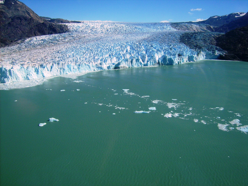
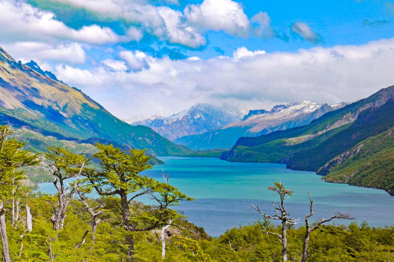
O'Higgins Lake is wedged between the Southern Ice Cap on the west and the Andes Mountains on the east, making it one of the most inhospitable places on earth. The eight arms of the lake spread into submerged valleys on both sides of the international boundary and are fed by the Mayer River and other glacier streams. The milky-blue water's color is a result of the finely crushed rock, or "rock flour," that is carried by melting glaciers in the streams that empty into the lake. Small boats are typically not an option in the main portions of the lake since high winds can produce hazardous waves. Locals are aware of the generally safe locations, however it is not advisable to participate in paddle sports alone. The lake is the source of the Rio Pascua, one of Chile's fastest-flowing rivers. The Rio Pascua tumbles wildly through rapids, gorges, and waterfalls after leaving the lake to reach the Pacific Ocean.
The enormous lake is located in one of South America's least populated areas, which is surrounded by steep slopes, glaciers, and distinctive flora and animals. The torrent duck, river otter, culpeo fox, huemul (an Andean deer whose population has fallen below 3,000), hawks, harriers, condors, and the Magellanic woodpecker all call the area around the lake and river home.
For the majority of the last century, the area was only accessible by foot, horseback, or small plane, with some visitors and supplies crossing the lake by ferry from Argentina. The Carretera Austral highway has only recently reached the town of Villa O'Higgins - the road's end. The gravel highway provided a route for long-distance cycle and hiking trekkers to enjoy the region, resulting in an increase in visitors who participate in strenuous sports. The road is mostly gravel and deserted, with the exception of the occasional cyclist camping alongside the path. On the area's rushing rivers, whitewater rafting is just emerging as a tourism industry. Visitors are advised to bring whatever they believe they will need because there are only a few items that may be obtained locally.
The flat enough for grazing land around O'Higgins Lake primarily used for sheep and cattle ranching. Glaciers cap the mountains above the rolling pasturelands, some with active volcanic vents. Villa O'Higgins has become a base camp for fly fishermen who come to catch rainbow and brown trout in the rivers and streams. Sport fishing trips can be arranged through Villa O'Higgins, and boat cruises on Lago O'Higgins take visitors to the base of the massive O'Higgins Glacier.
It is advised that visitors visiting the Lago O'Higgins region do not attempt to "fly by the seat of their trousers" when it comes to housing and transportation. It is better to book any excursion through a trustworthy travel agency or informed friend, especially the first time you go, because even boat plans can change on the fly. There are some private rentals available, but you must do your research because the lodgings might not be up to date and they might be challenging to reach. There is real estate in the region, but again, one should make sure that it is accessible and that certain essential services can be used. A trip to Lago O'Higgins is a once-in-a-lifetime experience for the adventurous traveler, with plenty of rugged travel and grand unspoiled vistas. Visit one of South America's last untouched wildernesses. Lago O'Higgins is not easy, but it is magnificent!
Location: O'Higgins Commune, Capitán Prat Province, Aysén del General Carlos Ibáñez del Campo Region, Chile
Basin countriesArgentina, Chile
Surface area: 1,013 km2 (391 sq mi)
Max. depth: 836 m (2,743 ft)
Shore length: 1525 km (326 mi)
Surface elevation: 250 m (820 ft)


