Quetzaltenango
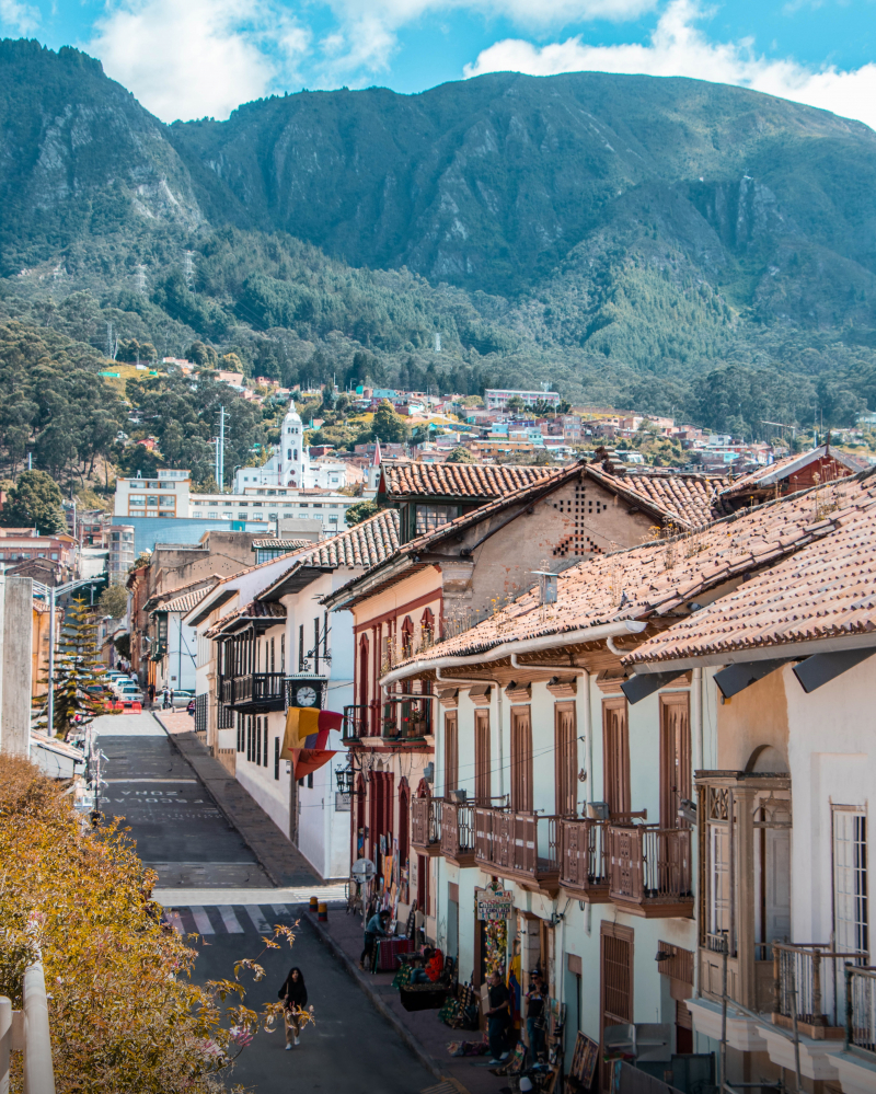
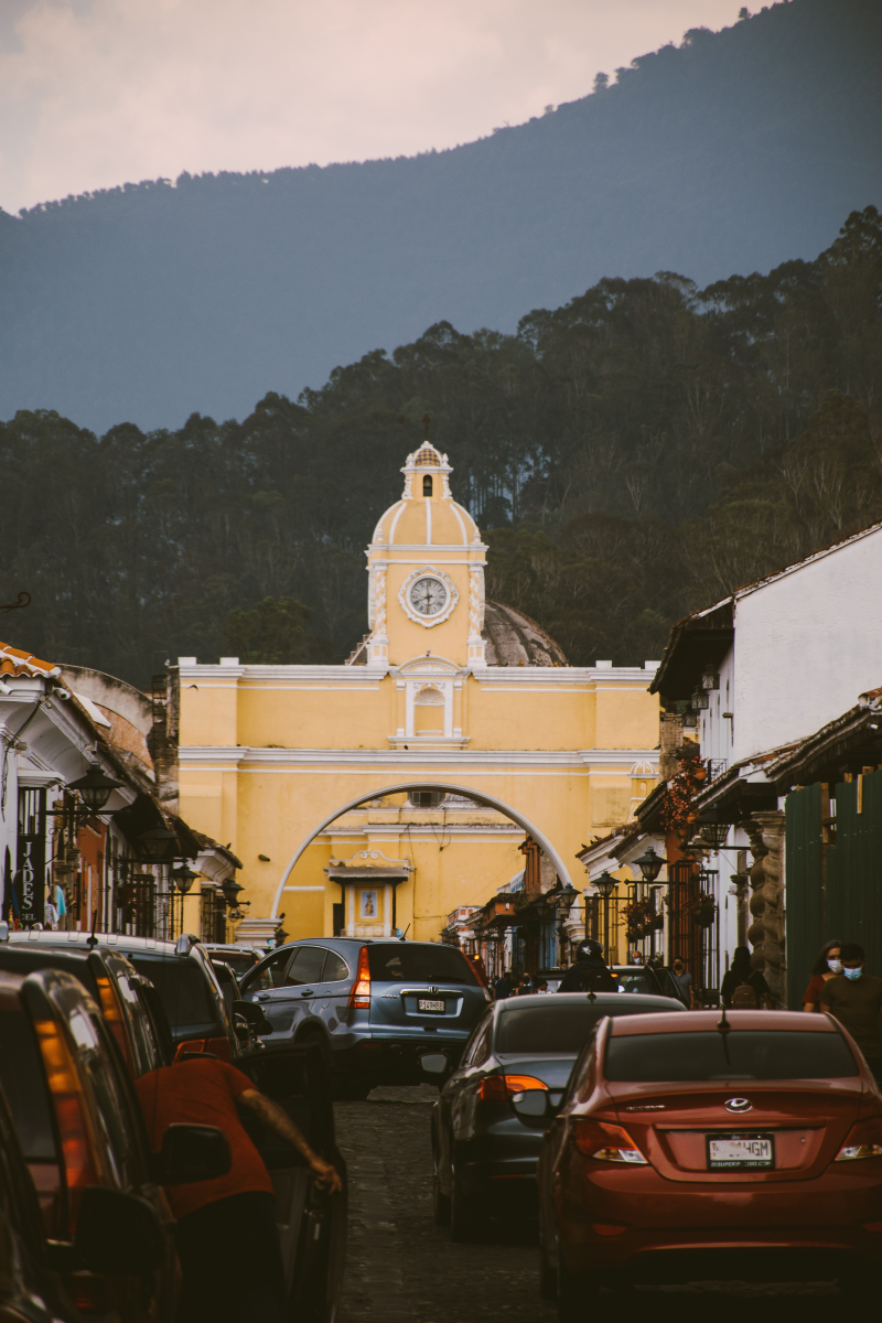
Both the municipality and the department of the same name are headquartered in Quetzaltenango, Guatemala. At its lowest point, the city is situated at an elevation of 2,330 meters (7,640 feet) above sea level in a mountain valley. Within the city, it may soar beyond 2,400 m (7,900 ft). It is one of the best places to visit in Guatemala City.
The Köppen climate classification describes Quetzaltenango's climate as subtropical highland (Cwb). The weather in Quetzaltenango can often range from pleasant to chilly, with isolated warm spells every now and again. About midday, the daily high is typically attained. The temperature drops very quickly after that. With the exception of the rainy season, the city is fairly dry. The hippest large city in Guatemala is Quetzaltenango.
Spanish lessons and mountain hikes are two of the top attractions in Quetzaltenango. One of the riskier possibilities is to climb Volcan Tajumulco, the highest peak in Central America. Quetzaltenango's elevation of 2,333 meters guarantees warm days, cold nights, and fewer insects, in addition to making it a relatively clean and safe city. Many local villages known for their hot springs and handicrafts can be visited on day trips from the city.
Location: in the western highlands of Guatemala
Alltrails Rating: 4.6/5.0


