River Shannon

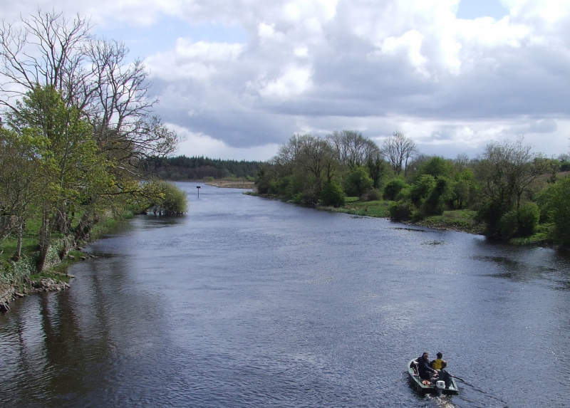
The River Shannon (Irish: Abhainn na Sionainne, an tSionainn, an tSionna) is the longest river in the British Isles, measuring 360.5 kilometers (224 miles). It drains the Shannon River Basin, which covers 16,865 km2 (6,512 sq mi) and accounts for one-fifth of the island's total area.
The River Shannon separates the west (mostly the province of Connacht) from the east and south of Ireland (Leinster and most of Munster). (The exception is County Clare, which is west of the Shannon yet falls within the Munster province.) With fewer than thirty-five crossing sites between Limerick city in the south and the town of Dowra in the north, the river serves as a major physical barrier between east and west.
The Shannon has long been regarded as a major river, and it first appears on maps by the Graeco-Egyptian geographer Ptolemy (c. 100 – c. 170 AD). The river runs south from the Shannon Pot in County Cavan before turning west and flowing into the Atlantic Ocean through the Shannon Estuary, which is 102.1 km (63.4 mi) long. Limerick is located at the confluence of the river and the estuary's sea water. The Shannon is tidal east of Limerick up to the Ardnacrusha dam's base. It is considered one of the longest rivers in Ireland.
Length: 360.5 km


