Samur

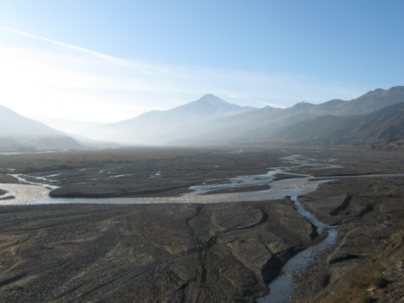
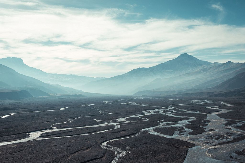
The Samur (Rutul: Самыр; Lezgian: Самурвацl; Russian: Самур; Azerbaijani: Samurçay) is a river in Russia's Dagestan Republic that also flows across Azerbaijan. When it comes to the longest rivers in Azerbaijan, the Samur is one of them.
The Samur river flows from glaciers and mountain springs in the Greater Caucasus highlands. It rises at an elevation of 3,648 meters in the northeastern portion of Guton Mount (11,969 ft). The river receives its tributary, the Khalakhur River, which flows down from an elevation of 3,730 m and descends for 7 km (4.3 mi) (12,240 ft). The river's length is 216 km (134 mi), and its basin area is 5,000 km2 (1,900 sq mi). The river's upper and middle portions run through Russian territory, while the lower sections flow through Azerbaijan, forming the Russian-Azerbaijani boundary. The river widens after it joins its other tributary, the Usuxçay River. Once in the open Caspian basin, the river divides into the Tahirçay (34 km (21 mi)) and Uar (28 km (17 km) rivers in Azerbaijani territory. The river is primarily fed by rain and subterranean fluids, with 42 percent of its volume coming from rain, 32 percent from underground waters, 22 percent from snow, and 4 percent from glaciers. The river feeds the Samur - Absheron waterway, which runs south to the Jeyranbatan reservoir.
Length: 134 miles


