Top 8 Longest Rivers in Azerbaijan

The Republic of Azerbaijan is situated in the South Caucasus, a crossroads between Southeast Europe and Southwest Asia. Armenia, Russia, Iran, Georgia, and the ... read more...Caspian Sea surround Azerbaijan. Because all of Azerbaijan's rivers flow into the Caspian Sea drainage basin, the country's hydrography belongs to it. The Caspian Sea is a closed drainage basin since it has no openings to the ocean. The Kura is Azerbaijan's longest river, beginning in Turkey and passing through the Republic of Georgia before entering Azerbaijan. However, when includes the autonomous Nagorno-Karabakh territory, the Tartar River is the longest entirely in Azerbaijan. Here are the top 8 longest rivers in Azerbaijan listed by Toplist.
-
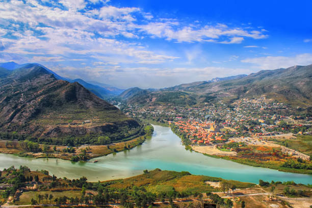
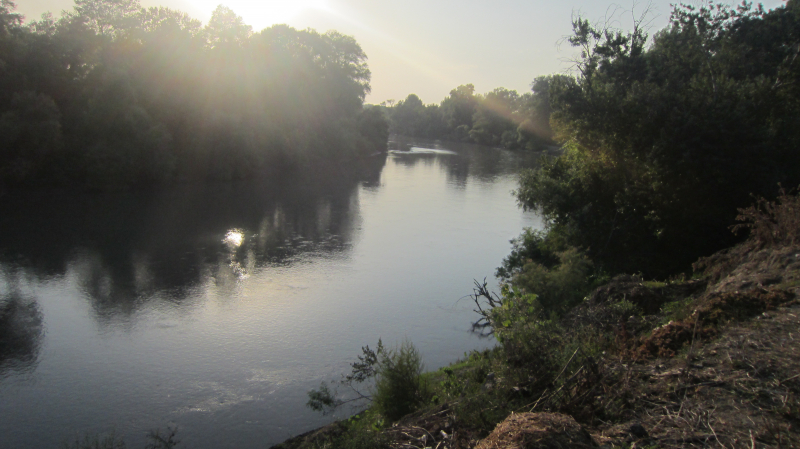
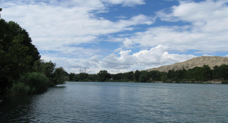
The Kura River, which runs through Azerbaijan, Turkey, and Georgia, is the country's longest river, with a total length of 941 miles. The Kura River rises in northwestern Turkey, flows through Georgia, and then through Azerbaijan, before draining into the Caspian Sea. The Aras, the Kura River's primary tributary, is Azerbaijan's second-largest river, with a length of 666 miles, and borders Turkey, Armenia, Azerbaijan, and Iran. It drains the south side of the Lesser Caucasus Mountains and is shared by Turkey, Armenia, Azerbaijan, and Iran. Before flowing into the Caspian Sea, the Kura River meets its biggest tributary, the Aras River, in Azerbaijan.
The Kura River flows into the Caspian Sea after meeting its biggest tributary, the Aras River, in Azerbaijan. The Kura valley has been populated for thousands of years, with agriculture being founded more than 4,500 years ago. As a consequence, vast civilizations formed, but by 1200 CE, they had been substantially diminished owing to invasions and natural calamities. Increased human usage harmed forests and grasslands, resulting in catastrophic floods during the twentieth century. The river is currently dammed and used for hydroelectric power, and it is moderately contaminated by large industrial districts.
Length: 941 miles
istockphoto.com 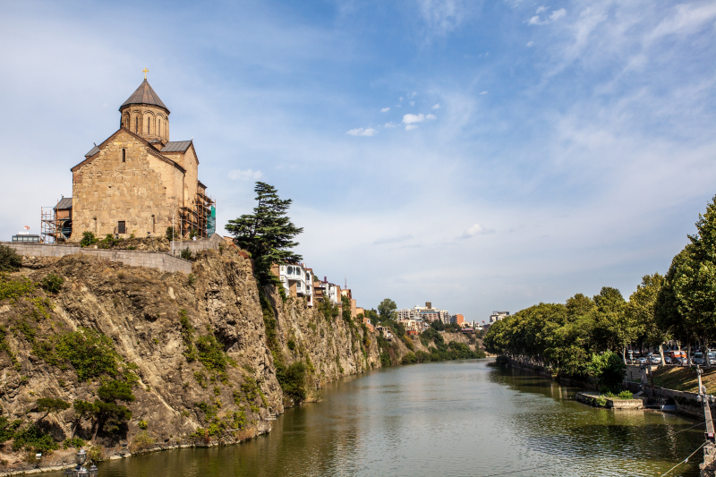
trip.com -
The Aras (also spelled Araks, Arax, Araxes, or Araz) is one of the longest rivers in Azerbaijan. The river is a Caucasus river. It begins in eastern Turkey and travels through the boundaries of Turkey and Armenia, Turkey and the Azerbaijani exclave of Nakhchivan, Iran and both Azerbaijan and Armenia, and eventually through Azerbaijan to the Kura River. It drains the south side of the Lesser Caucasus Mountains, whereas the Kura drains the north side. The river has a total length of 1,072 kilometers (666 miles) and a watershed area of 102,000 square kilometers (39,000 sq mi).
KuzeyDoğa, a Turkish non-governmental organization for environment conservation, created a bird study and teaching center in the Aras Valley at the hamlet Yukarı Çıyrıklı, in the Tuzluca district of Iğdır Province, Turkey, in 2006. It is one of two year-round bird-ringing sites in Turkey. More than 145,000 birds of 201 species were ringed and 306 bird species were sighted at this station between 2006 and 2021. This wetland is home to 63 percent of Turkey's 489 bird species, making it the most species-rich wetland in eastern Turkey.
Length: 666 miles
commons.wikimedia.org 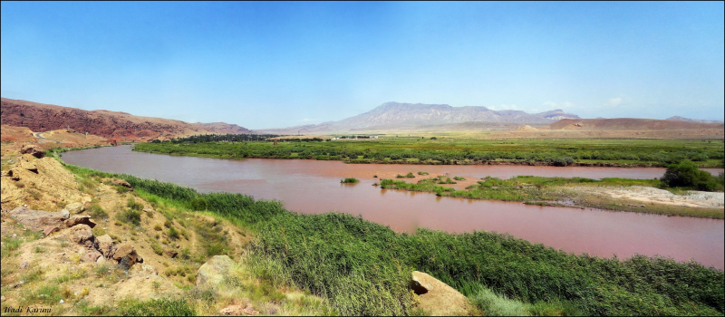
commons.wikimedia.org -
The Alazani is a 218-mile-long Azerbaijan river that travels across the Caucasus. It is the principal tributary of the Kura River in eastern Georgia. Before it enters the Kura River, a section of the Alazani River marks the boundary between Azerbaijan and Georgia. The Alazani was a major entry point for Persian intruders and is now the hub of Georgia's wine production. The Alazani dries up over the winter, but when the snow melts in the late spring, it causes considerable floods. The river is utilized for agriculture and drinking water by various small hydroelectric generating plants, and it is also a popular rafting destination. Pollution from biological contaminants present in untreated sewage from adjacent villages and cities in the river's greatest hazard.
Untreated sewage from towns and other settlements, as well as agricultural regions, contributes to mild biological pollution of the river. Water quality is stated to be poor in the districts of Kvareli and Lagodekhi. Alazani is also the name of several Georgian wines, including the semi-dry labels Marani Alazani Valley and Old Tbilisi Alazani.Length: 218 miles
en.wikipedia.org 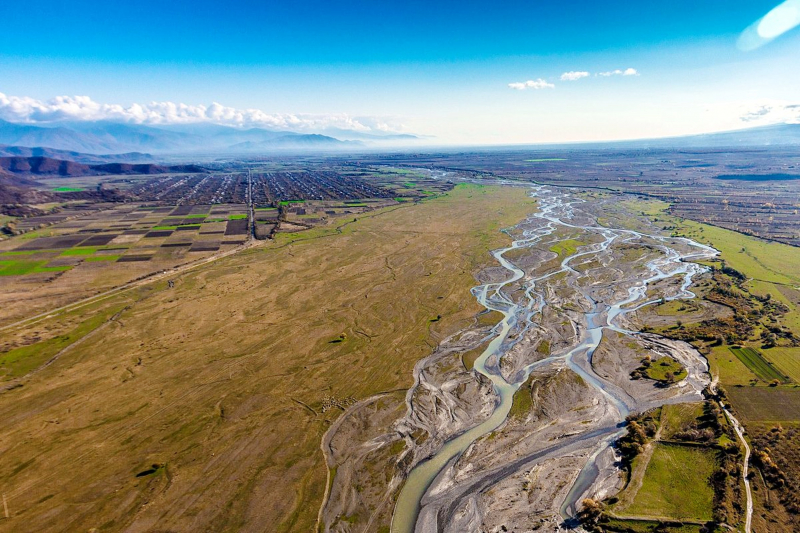
itinari.com -
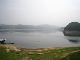
The Samur (Rutul: Самыр; Lezgian: Самурвацl; Russian: Самур; Azerbaijani: Samurçay) is a river in Russia's Dagestan Republic that also flows across Azerbaijan. When it comes to the longest rivers in Azerbaijan, the Samur is one of them.
The Samur river flows from glaciers and mountain springs in the Greater Caucasus highlands. It rises at an elevation of 3,648 meters in the northeastern portion of Guton Mount (11,969 ft). The river receives its tributary, the Khalakhur River, which flows down from an elevation of 3,730 m and descends for 7 km (4.3 mi) (12,240 ft). The river's length is 216 km (134 mi), and its basin area is 5,000 km2 (1,900 sq mi). The river's upper and middle portions run through Russian territory, while the lower sections flow through Azerbaijan, forming the Russian-Azerbaijani boundary. The river widens after it joins its other tributary, the Usuxçay River. Once in the open Caspian basin, the river divides into the Tahirçay (34 km (21 mi)) and Uar (28 km (17 km) rivers in Azerbaijani territory. The river is primarily fed by rain and subterranean fluids, with 42 percent of its volume coming from rain, 32 percent from underground waters, 22 percent from snow, and 4 percent from glaciers. The river feeds the Samur - Absheron waterway, which runs south to the Jeyranbatan reservoir.
Length: 134 miles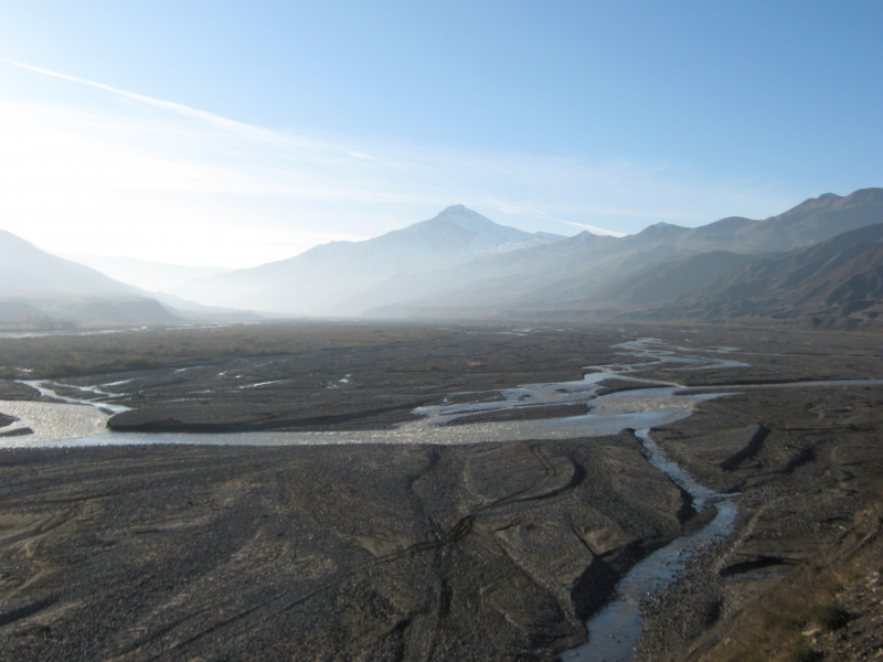
en.wikipedia.org 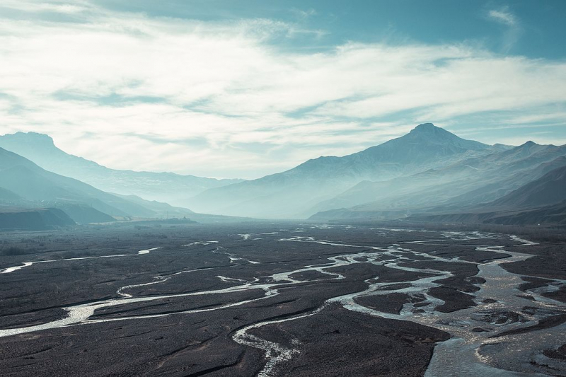
commons.wikimedia.org -
The Tartar (Azerbaijani: Tərtərçay, Armenian: Թարթառ) is one of the Kura's tributaries in Azerbaijan. It runs through Kalbajar, Barda, and Tartar districts. The river runs through Martakert Province in the self-proclaimed Republic of Artsakh.
Tartar is a left tributary of Kura, the Caucasus's biggest river. The river flows through the area where the Qonqur, Alaköz, and Mıxtökən mountain ranges converge on the Karabakh Plateau, near the hot springs settlement of Istisu, which is de jure in Azerbaijan's Kalbajar Rayon and de facto in the Republic of Artsakh's Martakert Province. The river's headwaters are 3,120 m (10,240 ft) above sea level, where it emerges from mountain springs. The river travels east over the whole Kalbajar rayon (de facto Martakert Province), passing through Kalbajar city, Tartar and Barda raions, and Tartar and Barda cities before emptying into Kura. The river has two left tributaries, Levçay (36 km (22 mi)) and Ağdabançay (19 km (12 mi), as well as one right tributary, Turağayçay (35 km (22 mi). Sarsang reservoir was established on the Tartar river in 1976 for irrigation and energy.
Length: 124 miles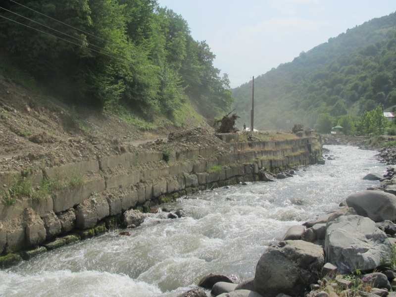
en.wikipedia.org 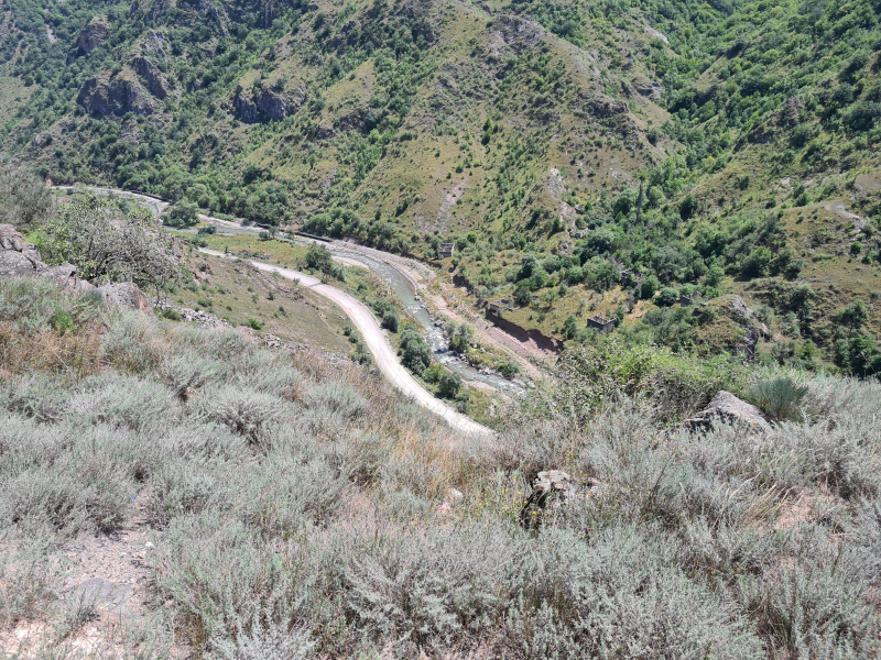
commons.wikimedia.org -
As one of the longest rivers in Azerbaijan, the Vorotan (Armenian: Որոտան; Azerbaijani: Bərgüşad or "Bargushad"; or "Bazarchay") is the main right tributary of the Hakari river in Transcaucasia. The river begins in the northern section of the Republic of Armenia's province of Syunik. It then flows into Armenia for 119 kilometers (74 miles) in a mainly south-easterly direction. The river then enters Azerbaijan, running for 43 kilometers (27 miles) through the rayons (districts) of Qubadli and Zangilan. From its confluence with the Vorotan to its confluence with the Aras River, the lower segment of the Hakari is sometimes believed to be part of the Vorotan.
The river generally runs across steep terrain, forming deep gorges in various locations. Along its path are the cities of Sisian and Qubadli. Six kilometers from Sisian, the river generates an 18-meter-high waterfall known as the "Shaki Waterfall" (Armenian: Շաքիի ջրվեժ). Near Tatev Monastery, the river forms a natural landmark known as the "Devil's Bridge." Mineral ponds may be found at the base of the travertine arch.
Length: 111 miles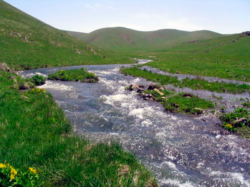
araratour.com 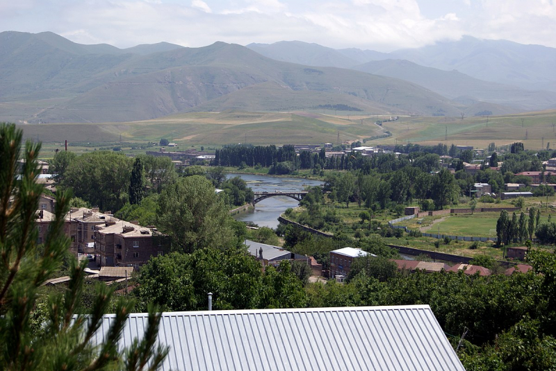
en.wikipedia.org -
The Aghstafa (Azerbaijani: Ağstafaçay) or Aghstev (Armenian: Աղստև, romanized: Aghstev) is a river in Armenia and Azerbaijan that is a right tributary of the Kura. It is 121 kilometers (75 miles) long and has a drainage basin of 2,500 kilometers (970 sq mi). The cities of Dilijan, Ijevan, Gazakh, and Aghstafa are located along the river.
In 1969, the Aghstafachay reservoir was established on the Aghstafa River near the village of Cəfərli in the Qazakh District. The Aghstafa reservoir has an area of 6.3 km2 (2.4 sq mi). The reservoir has a total capacity of 120 million m3. The hydroelectric power station erected on the reservoir stands 52 meters tall (171 ft). The reservoir supplies irrigation water to 135 hectares (330 acres) of land in the Aghstafa, Qazakh, Shamkir, and Tovuz regions.
Length: 83 miles
azerbaijan.az -
The Arpa (Armenian: Արփա, Azerbaijani: Arpaçay) is a river in Armenia and Azerbaijan's Nakhchivan exclave. It is a left tributary of the Aras that originates in Armenia's Vayots Dzor province (marz). It is 128 kilometers (80 miles) long and has a drainage basin of 2,630 kilometers (1,020 sq mi). It passes via Jermuk, Vayk, Yeghegnadzor, Areni, Olanqala, Siyaqut, and Qşlaqabbas, among others. The Spandaryan Reservoir is located on the river.
Arpa, one of the longest rivers in Azerbaijan, is a major tributary of the Mahanadi River, which is recognized as the state of Chhattisgarh's perennial supply of irrigation. Mahanadi has been fertilizing the state's soil for a long time, intersecting the several districts of Chhattisgarh. The Mahanadi river feeds the Shivnath river, which in turn feeds the Arpa river.
Length: 80 miles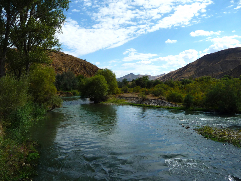
en.wikipedia.org 
commons.wikimedia.org