Sanin Kaigan National Park

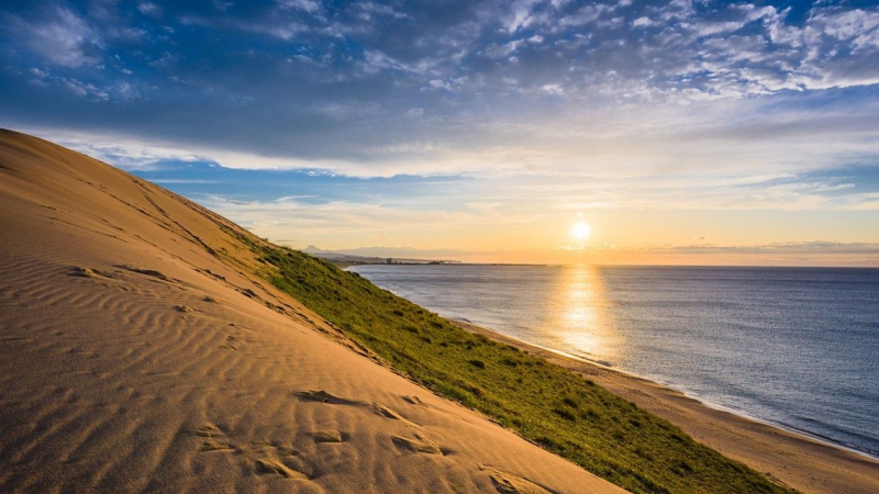
Sanin Kaigan National Park covers 75 kilometers from Tottori to Kyotango, with terrain as diverse as basaltic caverns, sandbars, tunnels, and massive dunes. It spans almost 8,800 hectares and encompasses sections of Kyoto, Hyogo, and Tottori prefectures. Tottori Sand Dunes, which are 16 kilometers long and 2.4 kilometers deep, are located on the park's western boundary. Their undulating geography is captivating, with whirling, wind-formed patterns. Activities such as fat biking, sandboarding, and even paragliding provide a closer look.
Tanegaike, a calm pond just south of the dunes, is guarded by the Otane, the ghost of a lady changed into a snake, according to folklore. The Uradome Coast stretches from Mount Shichi to Cape Kugami, just east of the dunes. Its intricate rock formations, pine-topped islands, and sandy coves make it excellent for sea kayaking or touring by boat. The most renowned of these islands is Sengan-Matsushima Rock, with its sloped granite strata capped dramatically by a lone tree.
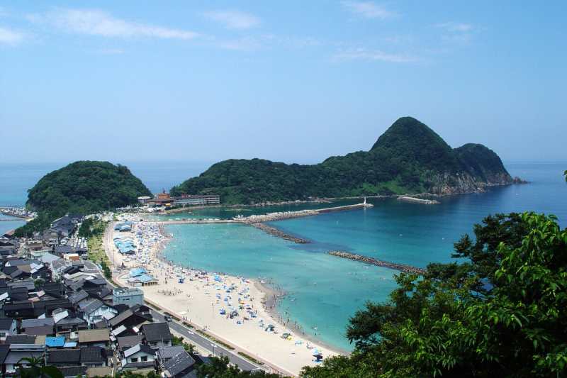
Location: Kami, Mikata District, Hyogo, Japan