Santo Antão
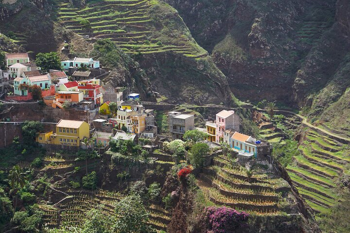
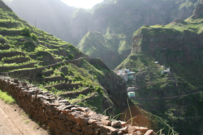
Santo Antão is a mountainous, windy, and watery island. The second-largest island in Cape Verde has a variety of names. It forms the northwestern border of the island group, with a size of 779 square kilometers and highly varied topography and soil structure. The subtropical environment will surprise you with its luxuriant vegetation, even though the south and west appear arid and barren. The Ribeira is turned green by fir and pine forests. Date and coconut palms, mango and carob trees, as well as citrus, almond, papaya, and orange trees, can all be found. In the highlands, maize, pineapples, coffee, and manioc are grown in terraced fields made up partly of black lava soil and part of white "pozzolana." The scent of eucalyptus, lavender and even lotus blossoms pervades the space. Many paths are lined with acacia, wild figs, and dragon trees.
Ribeira Grande, the island’s capital and largest city, is a vibrant place. Make sure to visit the food and clothing markets, as well as the Nossa Senhora do: Rosario church, for a sense of tranquility. The harbor village of Porto Novo sells locally manufactured goat's cheese. A scenic drive along a historic route between Porto Novo and Ribeira Grande is a terrific way to see the sights.
The island's almost 50,000 residents are concentrated in the cities of Porto Novo, Ponta do Sol, Pal, and Ribeira Grande. The people of Santo Antão, on the other hand, are mountain people: despite their Cape Verdean joie de vivre, they have a raw and heavy side to them. This is where the colá music and dance style thrives.
Location: Portuguese Ilha de Santo Antão, Northwesternmost island of Cape Verde in the Atlantic Ocean.


