Smolikas

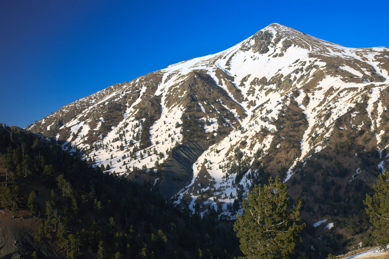
Mount Smolikas, Greece's second tallest peak, is located in the Ioannina regional unit in the northwestern section of the country. The peak, at 2,637 meters above sea level, is the highest point in the Pindus Mountain Range. Ophiolite rocks make up the mountain. The northern and eastern cirques and valleys were glaciated multiple times throughout the Pleistocene. Around 11,500 years ago, the last glaciers in this area disappeared. It is drained on the south by the river Vjosa, and on the north by the river Vourkopotamo (a tributary of the Sarantaporos). Grasslands and rocks can be found at higher elevations above 2,000 meters, while deciduous and conifer woods can be found at lower levels. The mountain is entirely inside the municipality of Konitsa, with Agia Paraskevi to the north and Palaioselli, Pades, and Armata to the south being the main villages around it. Konitsa is 15 kilometers southwest of Smolikas. The mountain is crossed by the Greek National Road 20 (Kozani - Siatista - Konitsa - Ioannina).
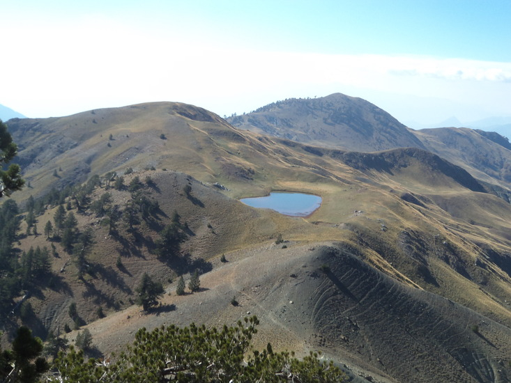
At 2,200 meters, Smolikas is also home to the stunning Dragon Lake, popularly known as the blue lake because of its vivid blue waters. The fact that it is heart-shaped further adds to its uniqueness! According to legend, the lake was named after a real dragon that sought refuge in the lake and was constantly at odds with another dragon atop Mount Tymfi, who was also a resident of Tymfi's Dragon Lake.
Climbing, mountaineering, and hiking are all possible on the mountain. There are numerous routes to choose from, but the most well-traveled begins in Agia Paraskevi. There is no need for a guide because it is well signposted and designated. The trek to the top is also very straightforward, with views of lush trees and precipitous cliffs. The trek can take up to 5 hours to complete, and the gorgeous lake is located one hour before the peak.
Location: Northwest central Greece
Elevation: 2,637 m
Parent range: Pindus Mountains


