Spatial Analysis and Satellite Imagery in a GIS

This course will teach you how to evaluate map data using various kinds of data and methodologies to solve geographical queries. To begin with, you will learn how to filter a data collection using various sorts of queries to obtain only the data you need to answer a certain question. Then, they'll go through some simple but effective analytic approaches for finding spatial correlations inside and across data sets using vector data. You'll also learn how to utilize ModelBuilder, a simple but effective tool for creating analytical flowcharts that can subsequently be used as models. Then, as a rich source of GIS data, you will learn how to access, analyze, and use remotely sensed data such as satellite photography. Then you'll learn how to examine raster data. Finally, you will finish your own project in which you will put the new skills and technologies you have acquired in this course to use.
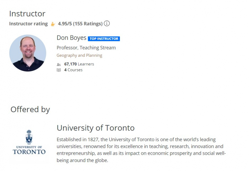
Your instructor is Don has been learning about and using GIS for over 30 years. He has been teaching several GIS courses at the undergraduate and graduate level at the University of Toronto since 2001. Before that, he worked as a freelance GIS consultant, with clients in Canada's Northwest Territories, Yukon, Nunavut, and Ontario. Don is passionate about finding meaningful ways to help students learn more effectively using educational technology. This is one of the best online geovisualization courses.
This course offers
- Flexible deadlines
- Shareable Certificate
- 100% online
- Course 3 of 4 in the GIS, Mapping, and Spatial Analysis Specialization
- Beginner Level
- It takes approximately 14 hours to complete.
- Subtitles: Arabic, French, Portuguese (European), Italian, Vietnamese, German, Russian, English, Spanish
Coursera rating: 4.9/5
Enroll here: https://www.coursera.org/learn/spatial-analysis-satellite-imagery-in-a-gis