Top 5 Best Online Geovisualization Courses

Geovisualization or geovisualisation (short for geographic visualization), also known as cartographic visualization, refers to a set of tools and techniques ... read more...supporting the analysis of geospatial data through the use of interactive visualization. Here are some best online Geovisualization courses listed by Toplist
-
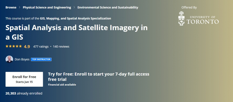
This course will teach you how to evaluate map data using various kinds of data and methodologies to solve geographical queries. To begin with, you will learn how to filter a data collection using various sorts of queries to obtain only the data you need to answer a certain question. Then, they'll go through some simple but effective analytic approaches for finding spatial correlations inside and across data sets using vector data. You'll also learn how to utilize ModelBuilder, a simple but effective tool for creating analytical flowcharts that can subsequently be used as models. Then, as a rich source of GIS data, you will learn how to access, analyze, and use remotely sensed data such as satellite photography. Then you'll learn how to examine raster data. Finally, you will finish your own project in which you will put the new skills and technologies you have acquired in this course to use.
Your instructor is Don has been learning about and using GIS for over 30 years. He has been teaching several GIS courses at the undergraduate and graduate level at the University of Toronto since 2001. Before that, he worked as a freelance GIS consultant, with clients in Canada's Northwest Territories, Yukon, Nunavut, and Ontario. Don is passionate about finding meaningful ways to help students learn more effectively using educational technology. This is one of the best online geovisualization courses.
This course offers
- Flexible deadlines
- Shareable Certificate
- 100% online
- Course 3 of 4 in the GIS, Mapping, and Spatial Analysis Specialization
- Beginner Level
- It takes approximately 14 hours to complete.
- Subtitles: Arabic, French, Portuguese (European), Italian, Vietnamese, German, Russian, English, Spanish
Coursera rating: 4.9/5
Enroll here: https://www.coursera.org/learn/spatial-analysis-satellite-imagery-in-a-gis
https://www.coursera.org/ 
https://www.coursera.org/ -
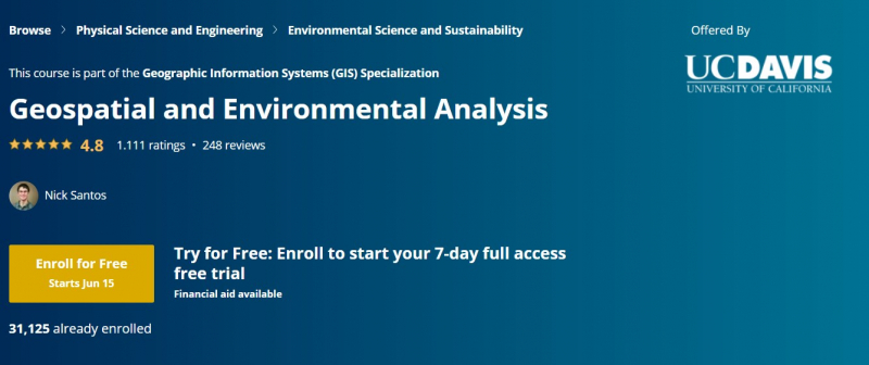
Use your GIS experience in this geospatial analysis course, which focuses on analytical tools, 3D data, dealing with rasters, projections, and environmental factors. They'll work with you on a project for the whole four weeks of this course, from project inception through data retrieval, initial data management and processing, and finally to our analytic results.
During four week-long classes, you will study the principles of geospatial and environmental analysis. Tour ArcToolbox and learn how to use common geospatial analysis tools built into ArcGIS. Gain a working understanding of raster data models: symbolize, reproject, overlay, and assess rasters. Take a detour into 3D data models and interpolation of observations into 3D surfaces and rasters. In-depth on projections and coordinate systems, which are foundational to all GIS. Learn how to use environmental variables to constrain your analyses and get better quality data products. Expand your knowledge of symbology. Learn how to visually display your data by classifying it into logical groupings and then symbolizing it on your map.
Geospatial and Environmental Analysis can be taken separately or as part of the Geographic Information Systems (GIS) Specialization. Before taking this course, you should have completed the first and second courses in this specialty, "Fundamentals of GIS" and "GIS Data Formats, Design, and Quality." By finishing this third class in the specialization, you will acquire the abilities required to succeed in the complete program.
This course offers
- Flexible deadlines
- Shareable Certificate
- 100% online
- Course 3 of 5 in the Geographic Information Systems (GIS) Specialization
- Intermediate Level
- Approx. 14 hours to complete
- Subtitles: Arabic, French, Portuguese (European), Italian, Vietnamese, German, Russian, English, Spanish
Coursera rating: 4.8/5
Enroll here: https://www.coursera.org/learn/spatial-analysis
https://www.coursera.org/ 
https://www.coursera.org/ -
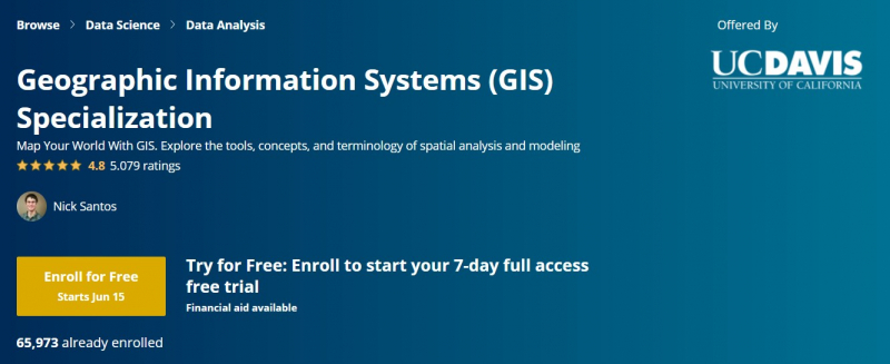
Geographic Information Systems (GIS) knowledge is becoming increasingly valuable in areas ranging from agriculture to public health. This specialization, given in collaboration with ArcGIS creator Esri, will teach you the skills you need to utilize GIS software successfully in a professional context. You will learn how to evaluate spatial data, how to express your findings on maps using cartography techniques, and how to cooperate with peers in GIS and GIS-related subjects. You will build a professional-quality GIS portfolio piece in the final capstone project by combining data identification and gathering, analytical map development, and spatial analysis methodologies.
Students will complete numerous course projects to obtain expertise and abilities in geographic information systems. Each course reinforces your learning by reviewing the fundamentals in a final assignment. Each course builds on past expertise, and the specialization ends with a capstone in which you will design and execute a comprehensive GIS-based investigation – from recognizing an idea, question, or issue to final data products and maps that you can add to your portfolio. This is one of the best online geovisualization courses.
This course offes
- Shareable Certificate
- 100% online courses
- Flexible Schedule
- Beginner Level
- Approximately 6 months to complete
- Subtitles: English, Arabic, French, Portuguese (European), Italian, Vietnamese, German, Russian, Spanish
Coursera rating: 4.8/5
Enroll here: https://www.coursera.org/specializations/gis
https://www.coursera.org/ 
https://www.coursera.org/ -
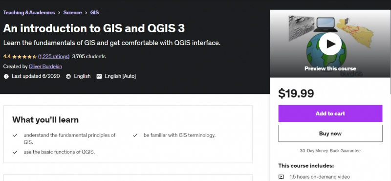
This course provides a thorough introduction to GIS and QGIS. Beginning with basic vocabulary and norms, they'll cover some of the core ideas of GIS, an overview of what QGIS is, and then they'll get started with real QGIS experience. All sample data is unique and given solely for your use. The course will take around two hours to complete. It is a brief course aimed at getting you up and running quickly. However, experimenting with the program is a terrific way to learn, so don't be concerned if it takes you longer. Investigate the interface, ask questions, and have fun! The course will be arranged as a combination of lectures, quizzes, and practicals to put all of your information into practice. The practical aspect is critical, and by all means, experiment with the program. Learning comes through doing!
Please keep in mind that they have some theorizing to cover first. This may appear pretty simple to many people. It's critical for some, and they truly want to make GIS available to everyone. Please let them know if you have any recommendations for changes, as they'd like to keep the course as current as possible. You should take this course if you need to understand the fundamentals of QGIS rapidly and if you want to try out QGIS before enrolling in further courses. More advanced classes are on the way. This is one of the best online geovisualization courses.Who is this course for?
- This course is for students that have no (or little) prior knowledge of GIS and QGIS 3.
- It is probably not for those looking for more advanced use of QGIS 3.
- Those who want to switch from a different GIS program to QGIS 3 will find this course useful.
Requirements:
- Students need no prior knowledge of GIS or QGIS 3.
- It is expected that students will have downloaded and installed QGIS 3.
Udemy rating: 4.4/5.
Enroll here: https://www.udemy.com/course/an-introduction-to-gis-and-qgis/
https://www.udemy.com/ 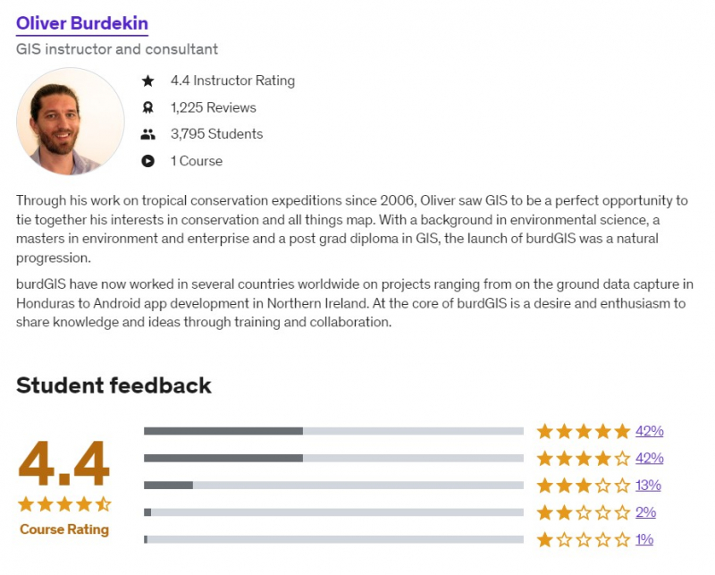
https://www.udemy.com/ - This course is for students that have no (or little) prior knowledge of GIS and QGIS 3.
-
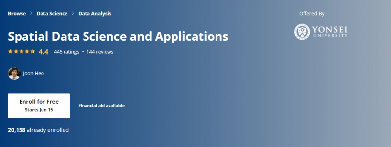
Spatial (map) is regarded as the basic infrastructure of the current IT world, as evidenced by business transactions of major IT businesses such as Apple, Google, Microsoft, Amazon, Intel, and Uber, as well as automobile manufacturers such as Audi, BMW, and Mercedes. As a result, they will need to recruit more and more spatial data scientists. Based on such business trends, this course is designed to provide learners with a firm understanding of spatial data science who already have a basic understanding of data science and data analysis, and eventually to differentiate their expertise from other nominal data scientists and data analysts. Additionally, this course could make learners realize the value of spatial big data and the power of open source software to deal with spatial data science problems.
In the first week, this course will define spatial data science and explain why spatial is unique from three perspectives: business, technology, and data. The second week introduces four disciplines connected to geographic data science—GIS, DBMS, Data Analytics, and Big Data Systems—as well as the relevant open source software—QGIS, PostgreSQL, PostGIS, R, and Hadoop tools. During the third, fourth, and fifth weeks, you will master the four disciplines from the ground up, from principles to applications. In the last week, five real-world problems and their solutions were given with step-by-step techniques in an open source software environment. This is one of the best online geovisualization courses.
This course offers
- Flexible deadlines
- Shareable Certificate
- 100% online
- Intermediate Level
- It takes approximately 12 hours to complete.
- Subtitles: Arabic, French, Portuguese (European), Italian, Vietnamese, German, Russian, English, Spanish
Coursera rating: 4.4/5
Enroll here: https://www.coursera.org/learn/spatial-data-science
https://www.coursera.org/ 
https://www.coursera.org/