Studniční
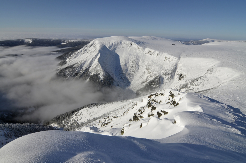
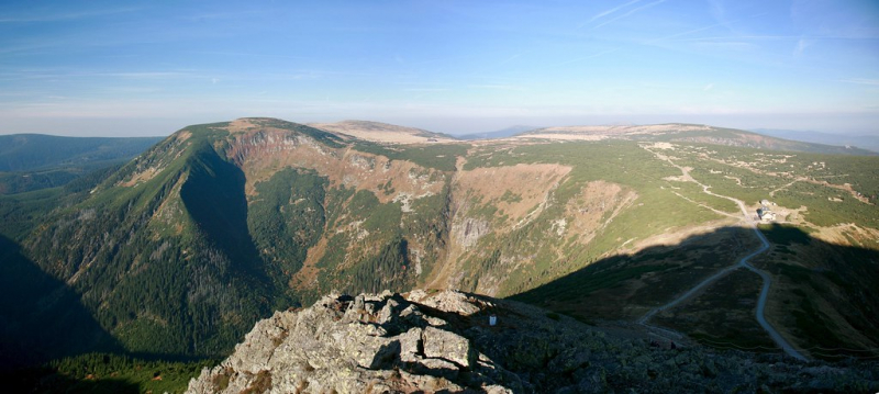
In the Krkonoše mountain range, Studniční reaches a height of 5,098 feet. The mountain was previously known as Kamenita Plan, which means "stony plain." Many parts of the mountain are made of stone, as well as dwarf pine. During the winter, the mountain's snow cover can reach 14 meters thick, and it can last until the beginning of summer in a location that is supposed to mirror the country's contours, earning the peak the nickname "Map of Republic." The mountain's hiking paths aren't well established, and it's surrounded by the Krkonoše National Park.
The unusual cumulus mountain Studniční hora (also Studničná hora, Steinboden or Brunnberg in German) is the third highest peak in the Giant Mountains and the Czech Republic. Since 1952, the peak has had a Czech name. The mountain is located in the first zone of the national park and is 40 cm lower than the adjacent Luční hora with a height of 1555.0 m.
It is located around 1 kilometer south of the main ridge. The Úpské rašeliniště with the springs of Úpa and Bílý is located between the main ridge, which is extremely obscure in these locations from the h, and Studniční hora. Luční hora lies to the west of Studniční hora, Modrý is to the south, and Ob dl is to the east. The summit is flat and circular, with modest slopes to the north and west. The terrain, on the other hand, dips quite abruptly to Modrý and notably Obří dol, with multiple avalanche slopes. The Map of the Republic, a southern avalanche slope with a snow field, is particularly well-known. The rocky glaciers (Úpská jáma, Malá and Velká Studniční jáma) are located to the east and southeast of the mountain. Snow overhangs form here in the winter.
Location: Krkonoše National Park
Elevation: 1,555 m
Range: Krkonoše mountain


