Top 4 Highest Mountains In Czech Republic (Czechia)
Snka, on the Czech Republic's border with Poland, is the highest point in the Krkonoe Range. Low-lying mountain ranges such as the Sudetic, Krkonoe, ... read more...Carpathian, and Sumarva surround the Czech Republic (Czechia). The European country borders Austria, Germany, Slovakia, and Poland and covers a total area of 30,450 square miles. The following contains information about the country's top four highest peaks.
-
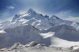
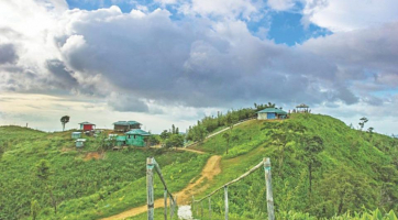
The Sněžka is a 5,256-foot mountain that is part of the Sudetic mountain range. The mountain is located in the northeastern part of the country. Pahrbek Sněžný, which means snowy hillock, was the mountain's original name. It was later renamed Snovka until it was given its current name in 1823. The first villages on the mountain were involved in mining for arsenic, copper, and iron minerals. If you prefer physical activity, you can hike to the summit of Mount Sněžka, where you will be rewarded with beautiful views. On the mountain's summit, a chalet, chapel, and observatory have been built over time. The mountain is now well-known for hiking and skiing. The mountain is shared by Poland and the Czech Republic.
For generations, travelers have been attracted to the mountain. Sněžka was one of the first tourist destinations in Europe. This was primarily due to the relatively minor technical difficulties of the ascent, as well as the fact that many resort visitors had flocked to the nearby Cieplice lskie-Zdrój since the sixteenth century, and the highly visible Sněžka, visually dominant over all Giant Mountains, was an important attraction for them. In 1456, an unnamed Venetian trader hunting for rich stones made the first documented description of a climb to the peak. The mountain's earliest villages arose soon after, mostly as mining communities exploiting the mountain's copper, iron, and arsenic reserves. The 1.5-kilometer-long (0.9-mile-long) mining shafts are still in use today. The 1.5-kilometer-long (0.93-mile-long) mining shafts are still in use today.
Location: Czech Republic and Poland
Elevation: 1,197 m
Range: Sudetic mountain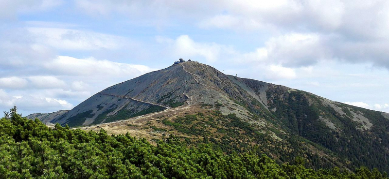
Photo source: Itinari.com 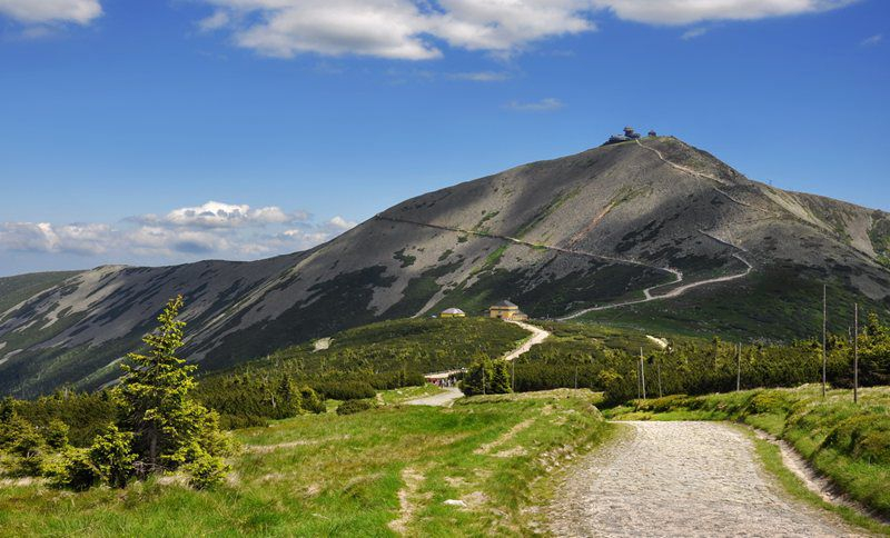
Photo source: Visit Czech Republic -
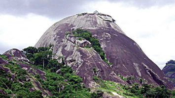
With a height of 5,102 feet, Lučni is the second highest mountain in the area. The mountain is located in the country's northern area and is part of the wider Krkonoše mountain range. A chalet built for agricultural purposes in the 17th century aided settlement on the mountain. After being burned down in 1797, the remnants of the chalet can still be seen on the mountain's foothills. The mountain played an essential role in the country's leadership's pre-war fortification efforts in the twentieth century.
In the eastern portion of the Giant Mountains, the highest mountain in the Czech ridge (1547 m). It's a part of the natural reserve. Its slopes are covered in dwarf pine and meadows. The slopes hardly descend to Valley Dlouhý důl (avalanchelike terrains) on the south-west, and slightly descend to meadow Bílá louka on the north. The mountain joins the valley Modrý důl in the south-east and is separated from Sudniční mountain in the east by the Lučni saddle. From the top of the peak, you can see the eastern and western Giant Mountains, as well as their foothills. Dwarf pine and meadows make up the mountain vegetation. The mountain is surrounded by the Krkonoše National Park, which gives rise to numerous streams and springs.
Location: Vrchlabi in Czech Republic
Elevation: 1,555 m
Range: Krkonoše mountain
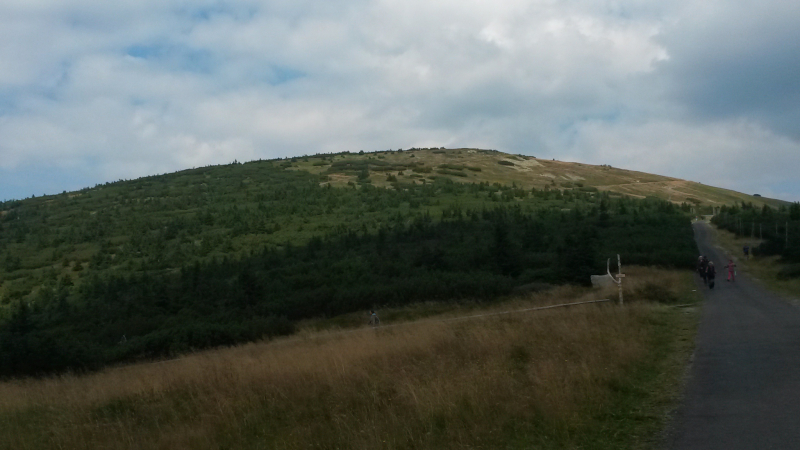
Photo source: Wikipedia 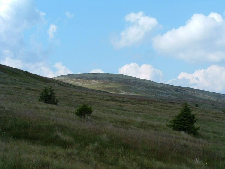
Photo source: Turistika.cz -
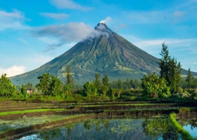
In the Krkonoše mountain range, Studniční reaches a height of 5,098 feet. The mountain was previously known as Kamenita Plan, which means "stony plain." Many parts of the mountain are made of stone, as well as dwarf pine. During the winter, the mountain's snow cover can reach 14 meters thick, and it can last until the beginning of summer in a location that is supposed to mirror the country's contours, earning the peak the nickname "Map of Republic." The mountain's hiking paths aren't well established, and it's surrounded by the Krkonoše National Park.
The unusual cumulus mountain Studniční hora (also Studničná hora, Steinboden or Brunnberg in German) is the third highest peak in the Giant Mountains and the Czech Republic. Since 1952, the peak has had a Czech name. The mountain is located in the first zone of the national park and is 40 cm lower than the adjacent Luční hora with a height of 1555.0 m.
It is located around 1 kilometer south of the main ridge. The Úpské rašeliniště with the springs of Úpa and Bílý is located between the main ridge, which is extremely obscure in these locations from the h, and Studniční hora. Luční hora lies to the west of Studniční hora, Modrý is to the south, and Ob dl is to the east. The summit is flat and circular, with modest slopes to the north and west. The terrain, on the other hand, dips quite abruptly to Modrý and notably Obří dol, with multiple avalanche slopes. The Map of the Republic, a southern avalanche slope with a snow field, is particularly well-known. The rocky glaciers (Úpská jáma, Malá and Velká Studniční jáma) are located to the east and southeast of the mountain. Snow overhangs form here in the winter.Location: Krkonoše National Park
Elevation: 1,555 m
Range: Krkonoše mountain
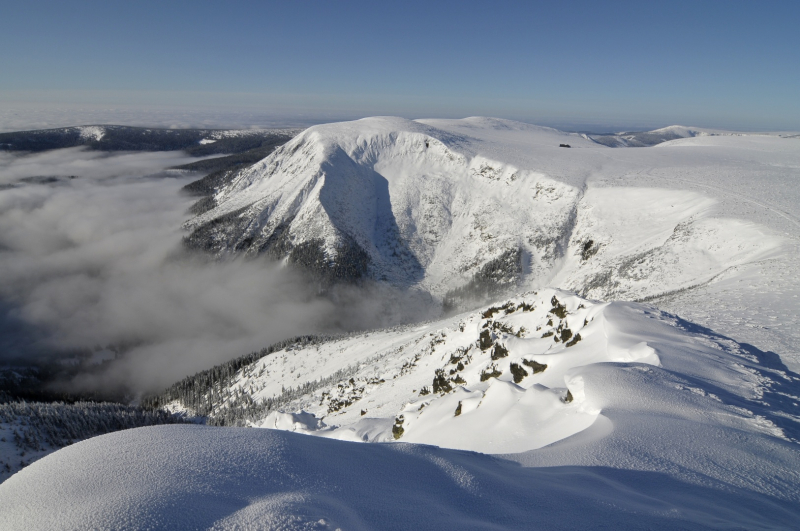
Photo source: Krkonoše 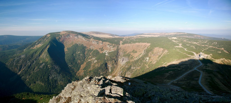
Photo source: Flickr -
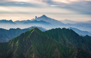
The peak of Wielki Szyszak (Czech: Vysoké kolo, German: Hohes Rad, literally High Wheel) is located on the Czech-Polish boundary. It is located directly above the settlement of Jagniątków in the middle (Silesian) part of the major Karkonosze mountain range. It is about halfway between Śnieżne Kotły and Śmielec. With a height of 4.952 feet, Wielki Szyszak Mountain is the country's fourth tallest mountain. It is part of the broader Krkonoše mountain range and is located on the Czech-Polish border. The mountain is located in Dolnoślaskie, Czechia, and is part of the Krkonoše National Park. The ruins of a monument erected in honor of Wilhelm I Hohenzollernad may be found on the summit.
Mount Wielki Szyszak is the Czech Republic's tenth highest peak. The Sokolnik, Violik, Velky Sisak, Kotel, and Tvaroznik are just a few of the other peaks in the neighborhood of Wielki Szyszak.
Location: Czech-Polish boundary
Elevation: 1,509 m
Range: Karkonosze mountain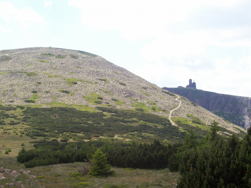
Photo source: Wikimedia Commons 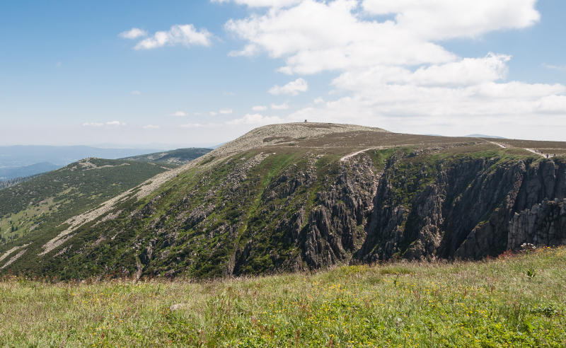
Photo source: Wikipedia


