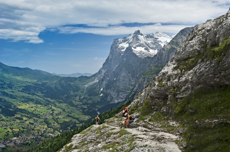
Take a hike in Bernese Oberland
Bernese Oberland is the higher elevation region of the canton of Bern, Switzerland, located at the southern end of the canton, and is one of the canton's five administrative regions. It features many of the Bernese Alps' highest peaks, especially the Finsteraarhorn, which is the highest point in both the range and the canton. Going for a hike in Bernese Oberland is a must-do activity when visiting Switzerland. Three massifs - the Eiger, Monch, and Jungfrau - as well as gorgeous landscapes and top-notch hiking trails make up this spectacular range for hikers. There are many trails accessible, so you can pick one that best suits your level of skill and fitness.
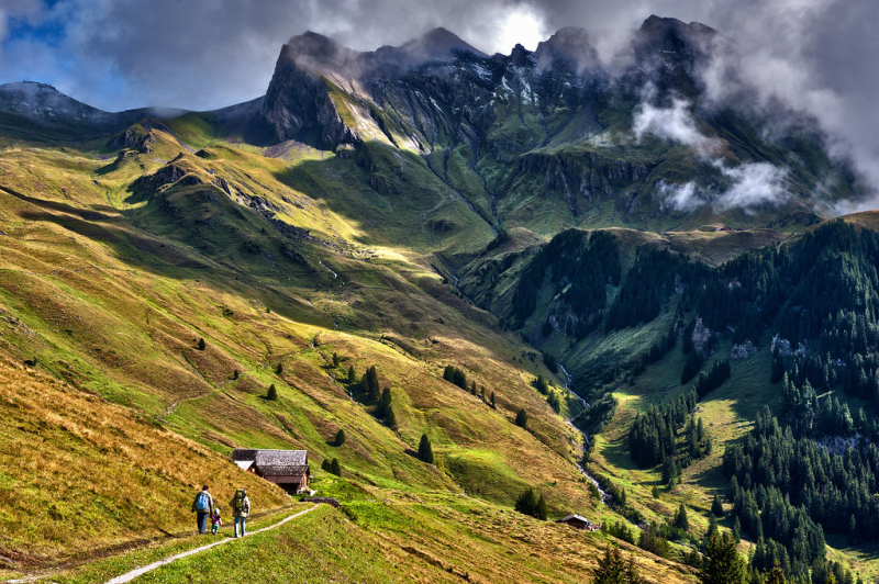
Tanzbodeli: With a distance from 7.7 - 8.6 miles, it is the best hike in Lauterbrunnen.
Altdorf - Engelberg via Surenen Pass: Starting in the town of Altdorf, hikers might gains over 6,000 feet of elevation in 13 miles on their way to Surenenpass and catch the view of tall, ragged peaks decorated with waterfalls.
First - Schynige Platte: Located in the Grindelwald area, the trail offers a magnificent view of the Bernese Alps, which tower over the Grindelwald and Lauterbrunnen Valleys from the Wetterhorn, Eiger, Jungfrau, and Breithorn to the Bluemlisalp massif in the southwest.
What are you waiting for? Let's hit the trails to view the most splendid natural beauty and build stronger muscles.