Tung Ping Chau
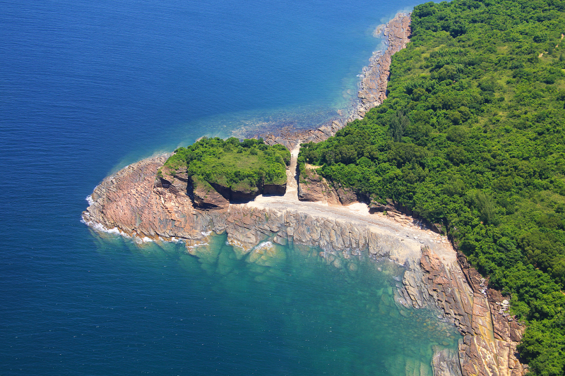
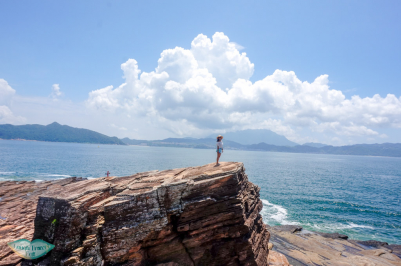
The easternmost island of Hong Kong is formed entirely of sedimentary rocks with a variety of marine abrasion landforms along its coast. The shores of this level island are decorated with colorful laminations of top rock shale and many other natural wonders. Included in the Hong Kong UNESCO Global Geopark, Tung Ping Chau is an esteemed museum of geomorphology.
Follow the simple trail around the island for a tour of its most popular attractions. Walk left along the beach of A Ma Wan. As enjoy the sea breeze and the sound of waves lapping the shore, keep an eye out for the amazing rock features here: wave-carved shale, iron-rich rocks weathered to resemble chequer boards, and stromatolitic structures made of fossils of cyanobacteria, just to name a few.
At the easternmost tip of Tung Ping Chau, a pair of two-storey-high sea stacks majestically stand on a wave-cut platform, like the island’s watchtowers. During low tide, the platform becomes an intertidal paradise for small fishes, urchins and various shellfishes. Most of the villagers on Tung Ping Chau have moved out, but some of them return to the island during weekends and public holidays to run stalls for day-trippers.
- Location: Tai Po District in the New Territories, Hong Kong
- Rate: 4,6/5 (Google)


