Vihren

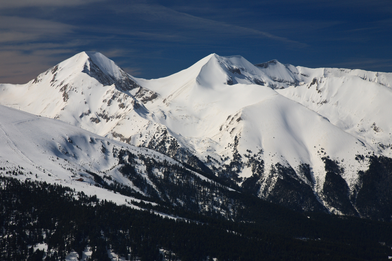
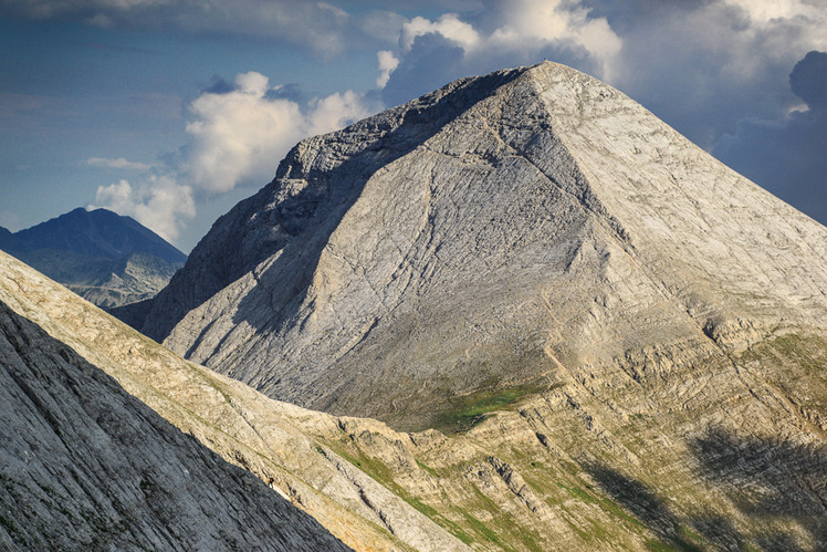
Vihren is the highest peak in the Pirin Mountains of Bulgaria. With a height of 2,914 meters (9,560 feet), it is Bulgaria's second highest peak and the Balkans' third highest, after Musala and Mount Olympus. Although Vihren lacks lakes and streams due to its karst topography, a number of Pirin's lakes, as well as Europe's southernmost glacial mass, the Snezhnika glacieret, are located around the peak. Until 1942, Vihren was known as Eltepe (storm peak); it was also known as Buren (stormy) and Malnienosets (lightning-bringer). The Pirin National Park, a UNESCO World Heritage Site, was originally known as the Vihren National Park. Vihren is listed as No. 2 in Bulgaria's Top 100 Tourist Attractions.
Vihren is located in Pirin's northern subdivision on the main ridge between the summits of Kutelo (2,908 m) to the north-west and Hvoynati Vrah (2,635 m) to the south-east.
T.Atanasov, D.Stoykov, V.Baynov, and N.Bozhinov climbed Vihren for the first time in winter on January 9, 1925. The classic route to the peak is from the Vihren refuge (1,950 m) to the south via the Kabata saddle; this route takes three to four hours in summer and is steep, gaining nearly 1,000 m in a short time. Alternative routes include those from the Banderitsa refuge (1,810 m) or from the north across the knife-edge crest Koncheto. From the Kazanite cirques in the north, there is a 400-meter-high steep wall with several alpine climbing tracks. The German alpinists W.Mosel and F.Auer were the first to climb this wall in 1934, and Al.Belkovski and Vl.Lobodin were the first to climb it in winter in 1949.
From the summit, you can see almost the entire northern Pirin, as well as the mountain ranges of Rila, Rhodope, Maleshevo, Ograzhden, Belasica, and Slavyanka.
Location: Blagoevgrad Province, Bulgaria
Elevation: 2,914 m (9,560 ft)


