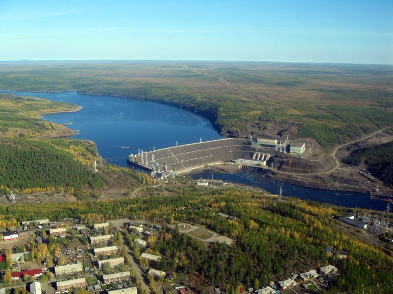
Vilyuy River

The Vilyuy is a Russian river that is the Lena's longest tributary. It flows largely within the Sakha Republic and is 2,650 kilometers (1,650 miles) long. Its basin is 454,000 square kilometers in size (175,000 sq mi). The Vilyuy originates in the Vilyuy Plateau, which is a portion of the Central Siberian Plateau, in the Evenkiysky District (Krasnoyarsk Krai), and flows east into Sakha. In the Central Yakutian Lowland, it bends south and southeast, then east, and finally reaches the Lena about 350 kilometers (220 miles) downstream of Yakutsk, near Sangar. The Ust-Vilyuy Range rises above the Lena's facing bank, and across from the Vilyuy's mouth.
The Nizhnyaya Tunguska basin is located west of the Vilyuy and Chona rivers. The Vilyuy basin has a low population density. Vilyuysk, Verkhnevilyuysk, Suntar, and Nyurba are small settlements along the river. The Ulakhan-Vava, Chirkuo, Chona, Chybyda, Ulakhan-Botuobuya, Ochchuguy-Botuobuya, Tangnary, and Bappagay on the right, and the Akhtaranda, Ygyatta, Markha, Tyukyan, and Tyung on the left, are the primary tributaries of the Vilyuy.
Yakutsk-Vilyuy Rift (Vilyuy Rift Basin) and Yakutsk-Vilyuy LIP (large igneous province), sometimes known as Vilyuy Traps, are geological structures connected with Vilyuy.
Length: 2,650 km


