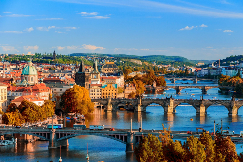
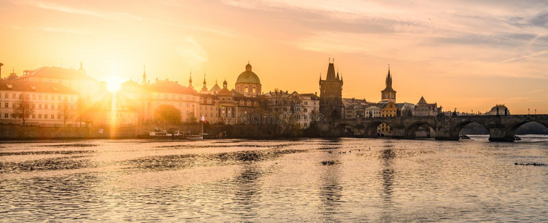
Vltava River
The Vltava river is 430 kilometers (267.4 miles) long and drains an area of 28,090 square kilometers (10,850 square miles), which is more than half of Bohemia and roughly one-third of the Czech Republic. The river runs through Prague, crossing 18 bridges (including the Charles Bridge) and covering 31 kilometers (19 mi) within the city. The river's water was used for drinking until 1912 when the Vinohrady Water Tower stopped pumping. It is, however, the source of drinking water in the event that the water supply from the elivka and Kárané sources fails or needs to be repaired. The Podol water treatment plant is ready for such situations, with a long section of the river upstream of the Podol plant subject to stricter, second-degree pollution prevention regulations.
The elevation difference between the source and the mouth is approximately 1,016 meters (3,333 feet), and the largest stream at the source is known as ern Potok (Black Brook) or Teplá Vltava (Warm Vltava). The Vltava is formed by the confluence of two streams, the Warm Vltava (Teplá Vltava), which is the longer of the two, and the Cold Vltava (Studená Vltava), which originates in Bavaria. Vltava receives numerous tributaries along its course, the most significant of which are Otava and Berounka on the left and Lunice and Sázava on the right.
Location: Along south eastern Bohemian forest
Length: 430 km (270 mi)


