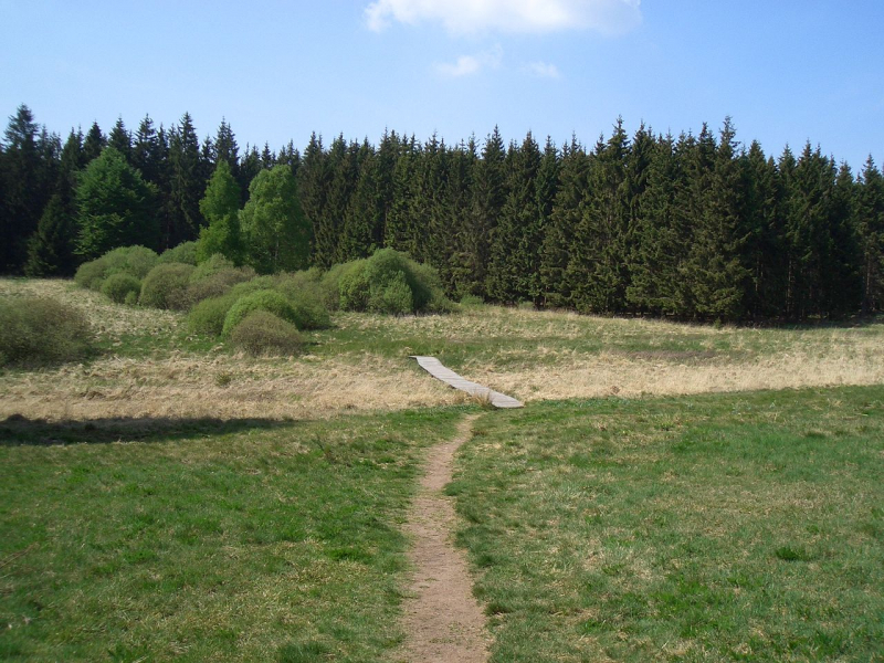
Weisser Stein

Because its vertical reference EGM96 deviates a few meters from the German Normalnull and the Belgian TAW, the altitude meter of Google Earth cast considerable doubt on Signal de Botrange (694 m TAW) as Belgium's highest peak, implying a height of 701 m for the Weißer Stein. The Weißer Stein was measured to be at maximum 693.3 m TAW (=691 m NN) by the Belgian National Geographic Institute in 2010, which is less than 1 m different from Signal de Botrange.
German measurements (the area was German until 1920) revealed an altitude of 689 meters (NN, German standard) at a nearby measuring site, as well as a little higher area encompassed by the 690-meter altitude line.
The University of Liège conducted measurements in 2007 and discovered a height of 692 meters (TAW, Belgian standard). Because its vertical reference EGM96 deviates a little, the altitude meter of Google Earth cast some doubt on Signal de Botrange (694 m TAW) as Belgium's highest peak.
Location: Büllingen, East Belgium
Parent range: Eifel
Elevation: 2,274 feet (693 meters)

