Where is Kiribati

Kiribati is made of three island groups, the Gilbert Islands, the Line Islands and the Phoenix Islands, a UNESCO site and one of the world’s largest marine protected areas. From the Marshall Islands in the west to the Cook Islands in the southeast, all three island groups are located near the Equator. Since its independence from the British Empire in 1979, the country has been known as the Gilbert Islands, but it now uses the local translation of the name, similar to Tuvalu.
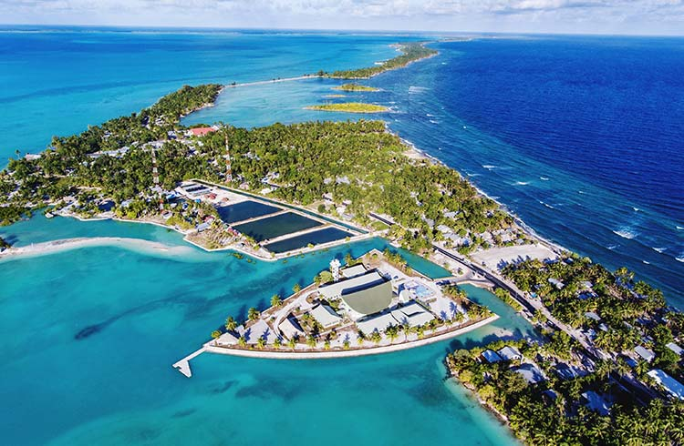
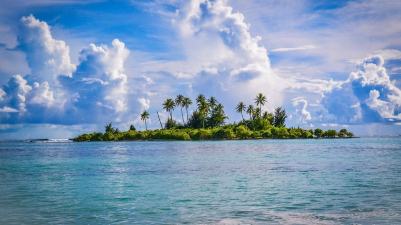
Despite its large size, land makes up only about 811 square kilometers of the 3.5 million-square-kilometer country, with the Kiritimati Islands accounting for 75% of the total (also known as Christmas Island). Kiribati is made up of 32 coral atolls, the majority of which are highly vulnerable to climate change due to their low altitude. Banaba, a raised coral island, is also present. Tarawa is the capital of the Gilbert Islands, and it is where the majority of the population lives. However, the population is dispersed across 21 islands, and the main islands are connected by a network of internal flights and ferries operated by Air Kiribati.