Yuna River
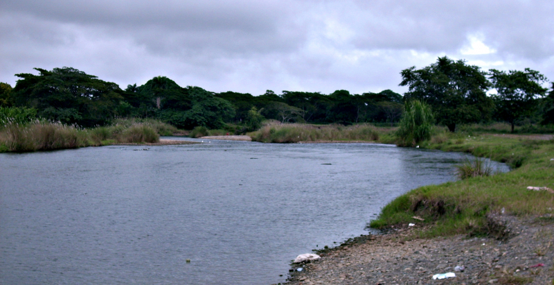
With a length of 185.17 kilometers (115.06 miles), the Yuna River is the Dominican Republic's second longest river. It rises in the Cordillera Central mountain range southwest of Bonao in Monseor Nouel Province and flows through the fertile Cibao Valley. From there, the river turns north-northeast, passing through the city of Bonao. The river flows southwest of Cotu to Hatillo Dam (Spanish: Presa de Hatillo) before turning northeast and then east to reach its mouth at Samaná Bay in the Dominican Republic's northeast. The name, like many rivers in the Dominican Republic, is derived from the Tano language.
The Yuna River, which runs through the city of Bonao, is primarily used for rice cultivation.
According to Barzman and Peguero (1995) in Impacts of Altered Freshwater Flows to Estuaries: Yuna River Watershed and Samana Bay (Jim Tobey, 2004), "agrochemical use for rice cultivation in the Yuna watershed is contributing to soil fertility loss and increases in pests, weeds, and diseases, which, in turn, require increases in the already high use of the same agrochemicals." (Tobey, 2004, p. 31)
Although the Yuna River bed is mostly vegetated, there is a lot of gravel south of Bonao.
Length: 185.17 km (115.06 mi)


