Top 6 Longest Rivers in Dominican Republic

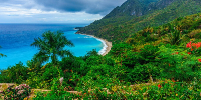
The Dominican Republic is a country in the Caribbean region located on the island of Hispaniola in the Greater Antilles archipelago. Toplist has compiled the ... read more...longest rivers in the Dominican Republic.
-
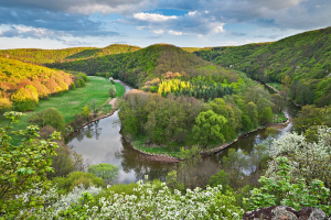
The Yaque Del Norte River is the longest in the Dominican Republic and the second longest on Hispaniola, trailing only the Artibonite River. It has a length of 296 kilometers and flows northwest into the Atlantic Ocean.
The Yaque del Norte's headwaters are located at an elevation of 2,580 meters on the Pico del Yaque mountain in the central Cordillera Central mountain range. The river is known as Los Guanos or Ro de la Derecha there ("River to the Right"). The name Yaque del Norte is only used when it meets another small river, Los Tablones or Ro de la Izquierda ("River to the Left"), in Manabao, 900 meters west of Jarabacoa.
The river flows east from Manabao, through the northwestern part of La Vega province. When it reaches Jarabacoa, it turns north to Santiago. At Jarabacoa, the Jimenoa River joins it. The river turns northwest in Santiago de los Caballeros and flows through the Yaque del Norte Valley, the western part of the Cibao Valley. Its mouth is located on Monte Cristi Bay, just south of Monte Cristi, and it empties into the Atlantic Ocean.
Length: 298 km (185 mi)
simple.wikipedia.org 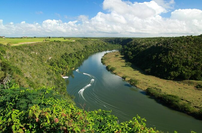
viator.com -
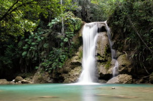
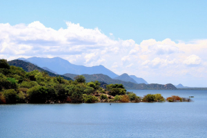
With a length of 185.17 kilometers (115.06 miles), the Yuna River is the Dominican Republic's second longest river. It rises in the Cordillera Central mountain range southwest of Bonao in Monseor Nouel Province and flows through the fertile Cibao Valley. From there, the river turns north-northeast, passing through the city of Bonao. The river flows southwest of Cotu to Hatillo Dam (Spanish: Presa de Hatillo) before turning northeast and then east to reach its mouth at Samaná Bay in the Dominican Republic's northeast. The name, like many rivers in the Dominican Republic, is derived from the Tano language.
The Yuna River, which runs through the city of Bonao, is primarily used for rice cultivation.
According to Barzman and Peguero (1995) in Impacts of Altered Freshwater Flows to Estuaries: Yuna River Watershed and Samana Bay (Jim Tobey, 2004), "agrochemical use for rice cultivation in the Yuna watershed is contributing to soil fertility loss and increases in pests, weeds, and diseases, which, in turn, require increases in the already high use of the same agrochemicals." (Tobey, 2004, p. 31)
Although the Yuna River bed is mostly vegetated, there is a lot of gravel south of Bonao.
Length: 185.17 km (115.06 mi)
en.wikipedia.org 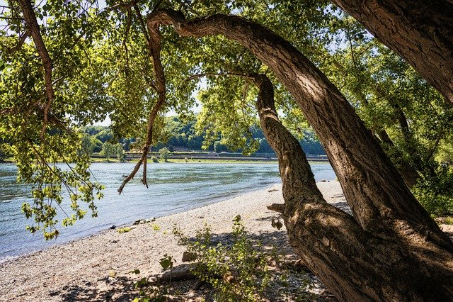
holidayssamana.com -
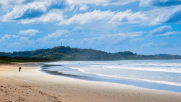
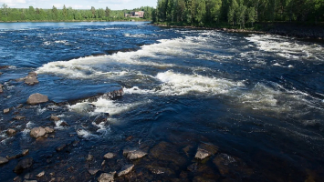
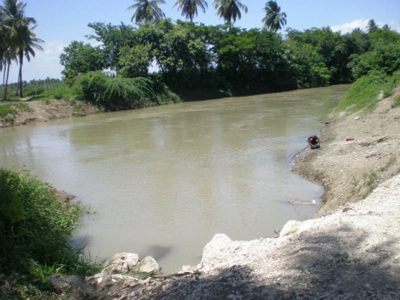
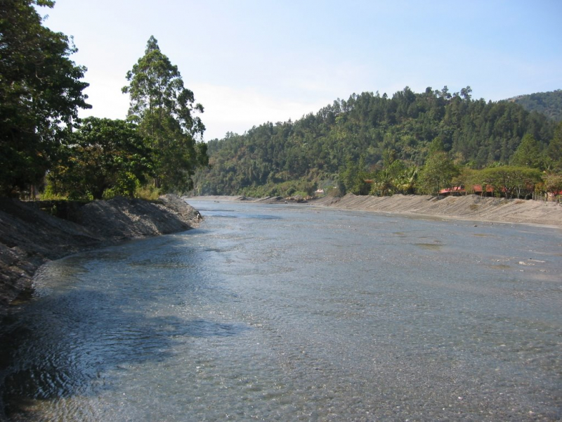
The Yaque del Sur River is a river in the Dominican Republic's southwestern region. It is approximately 183 kilometers long.
Yaque or Yaqui were Tano names for two rivers in the Dominican Republic. The Yaque del Norte ("Northern Yaque") flows to the north of Hispaniola, emptying into the Atlantic Ocean- the second-largest of the world's five oceans, with an area of approximately 106,460,000 km2 (41,100,000 sq mi), covering approximately 20% of the Earth's surface and approximately 29% of its water surface area; and the Yaque del Sur ("Southern Yaque") flows to the south, emptying into the Caribbean Sea- a sea of the Atlantic Ocean in the Western Hemisphere's tropics, bounded to the west and south west by Mexico and Central America, to the north by the Greater Antilles beginning with Cuba, to the east by the Lesser Antilles, and to the south by the north coast of South America.
Except for small craft, the river is impassable. It is vital and widely used for irrigation of rice, plantain, sugarcane, beans, bananas, and peanuts.
Length: 183 km (114 mi)
en.wikipedia.org 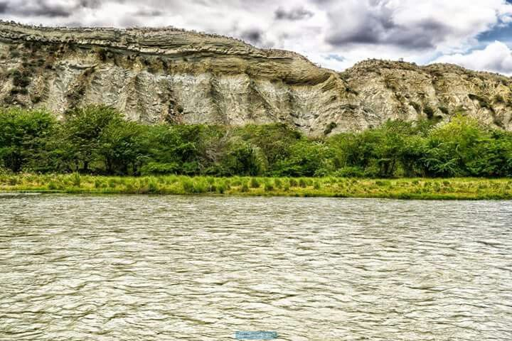
pinterest.com -
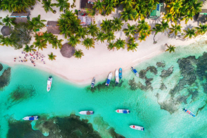
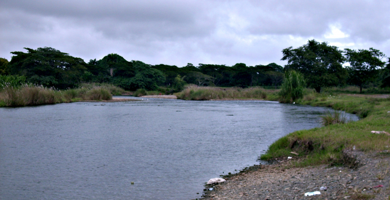
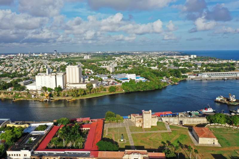
The Ozama River flows through the Dominican Republic. It rises in the Sierra de Yamasá mountain range, near the town of Villa Altagracia, on the Loma Siete Cabezas mountain.
Before emptying into the Caribbean Sea, the river flows 148 kilometers (92 miles). It divides the capital, Santo Domingo, into eastern and western halves at the end of the journey. The Isabela River, Sabita River, and Yabacao River are the three main tributaries of the Ozama.
The Ozama basin is the Dominican Republic's fourth largest. The river has several tributaries totaling 2,706 square kilometers in area (1,045 sq mi). The annual precipitation in the river basin ranges from 1,400 mm (55 in) to 2,250 mm (89 in).
The Ozama River has become severely polluted. The slums on its shores and the factories that dump their waste into it have a constant impact on it. It is one of the primary sources of pollution on Santo Domingo's coastline.
Length: 148 km (92 mi)
en.wikipedia.org 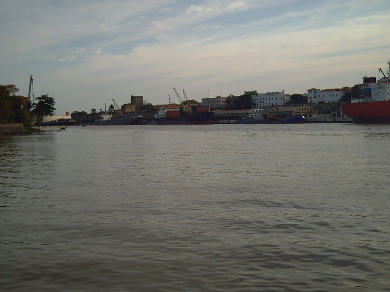
simple.wikipedia.org -
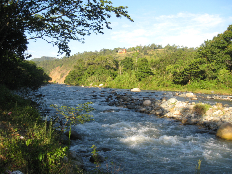
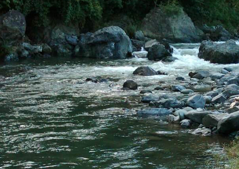
The Camú River is a 141.83 km (88.13 mi) long river in the Dominican Republic's northwestern region. It begins in the Cordillera Central- the Dominican Republic's and the Caribbean's highest mountain range, running through the heart of Hispaniola; and flows north and then east past the city of Concepción de la Vega before reaching its mouth at the Yuna River near the city of Pimentel on the border of the provinces of Duarte and Sánchez Ramírez.
It is a beautiful river, and people usually go there to take a bath or take photos, but its depth has decreased over the years because they take materials and seriously affect the ecosystem of some spices in the river. On the verge of extinction, pollution and poor agricultural practices in its surroundings make this river one of the most vulnerable to extinction, and summers knowing this few do what is required to save it.
Length: 141.83 km (88.13 mi)
grupoiecca.net 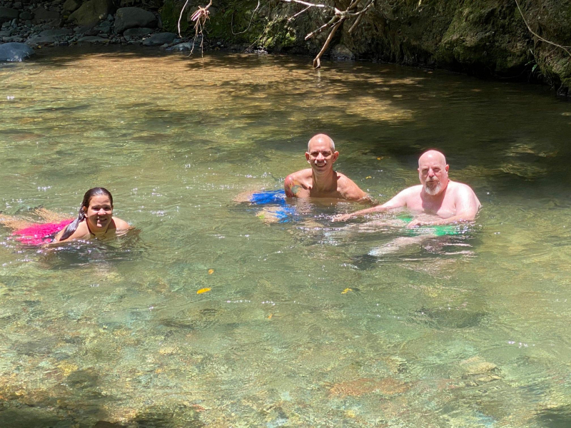
Photo: Jose Antonio's Facebook -
The Nizao River is one of the Dominican Republic's most important rivers. Along its path, three hydroelectric power/electrical plants have been built, the largest of which is Jiguey Dam- an arch-gravity dam on the Nizao River in the Dominican Republic's San José de Ocoa Province, about 32 kilometers (20 miles) west of San Cristóbal. It has dried as a result of a decade of aggregate extraction. A top Dominican ecologist, Luis Carvajal, estimated that restoring the river would cost RD$350 million per kilometer.
On 14 April 1655, Robert Venables landed at the mouth of the Nizao River with a contingent of the English New Model Army in preparation for a land attack on Santo Domingo. Vice-Admiral William Goodsonn arrived with an auxiliary "sea regiment" of sailors. During two Spanish ambushes, their superior discipline enabled them to save the other soldiers from disaster. The siege was abandoned after two failed assaults.
Length: 133 km (83 mi)
mapio.net 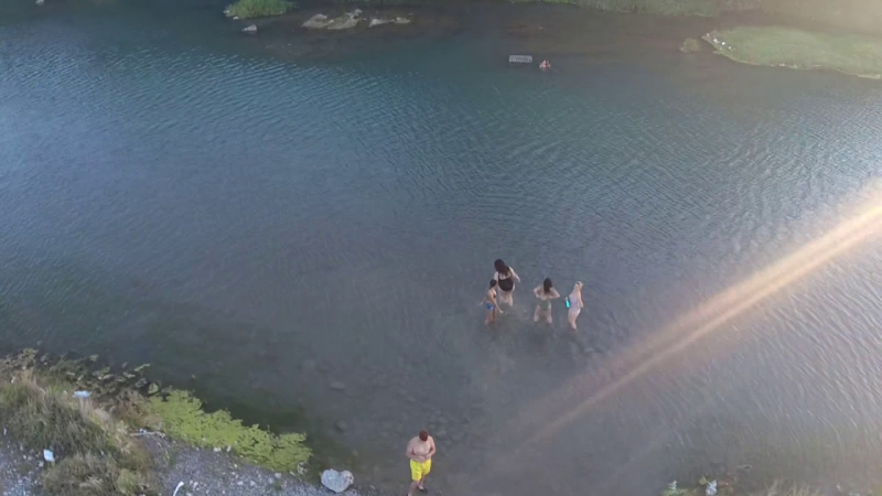
Photo: johan villar's Youtube Channel