Top 11 Best Scenic Drives in New York

Getting to any place in New York is half the fun because to the city's numerous secret highways and byways. These routes and places provide beautiful vistas, ... read more...history, and memories that will last a lifetime, from winding roads and park-like settings to stunning architecture and delectable cuisine. These roads are gorgeous all year long, so take them just for the trip's sake. Here are some of the Best Scenic Drives in New York.
-
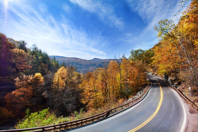
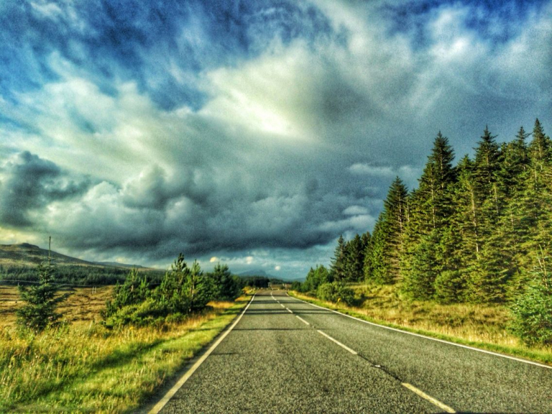
The renowned Catskill Mountains in New York State are a must-see, so take this beautiful backroads journey to discover the area's natural and man-made wonders. Drivers on Route 23 heading west are greeted by a sign that says, "Welcome to the land of Rip Van Winkle." The sign is pointing toward the towering mountain range. This road can be seen as one of the Best Scenic Drives in New York.
Of all, it was amid these ancient, gray sandstone peaks where Washington Irving's endearing character watched weird creatures play at nine pins, drank their whiskey, and then fell asleep for a night that lasted twenty years. Long before the area became a reachable and well-liked holiday destination, storytellers and artists gave these foggy hills covered in boreal forests legendary stature. As you go down the winding road of this heavenly trip, the fabled vistas depicted in myths and on canvases come to life.
Upstate New York's picturesque road through the Catskill Mountains is full of expansive views from tremendous heights and little, tranquil communities. Visit the community of Margaretville, which served as the backdrop for several major motion pictures, to take in its antebellum architecture and lakeside activities on the Pepacton Reservoir. While more sporty people can hit the slopes of Belleayre Mountain or go on a trip to Kaaterskill Falls in Palenville, railroad fans may enjoy a two-hour train excursion in Arkville.Starting Location: East Branch, NY
Ending Location: Shoharie, NY
Length: 88 miles
Best Season to Drive: Spring
https://www.pinterest.com/ 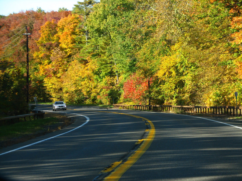
https://www.yourmechanic.com/ -
A beautiful byway in northeastern New York, United States, and southern Quebec, Canada, is known as the American Lakes to Locks Passage and its matching Canadian Route du Richelieu. In today's villages along rivers, waterfalls, and lakeside harbors, the unique influences of French, English, and Dutch settlers are still perceptible. To "meet and greet" travelers on the Lakes to Locks Passage, 32 Waypoint Communities have been selected.
This path between the Adirondack and Green Mountains, which largely follows the coasts of Lake Champlain, is replete with outdoor activities and photo ops. Travelers that take the Lakes to Locks Passage are exposed to a range of landscapes, including sandstone canyons and lush woodlands, as well as a few historic sites, such as Saratoga National Park, where the Revolutionary War's course changed. Heritage Centers for the Lakes to Locks Passage are local museums and landmarks. Keep an eye out for the remarkable rock formations at Keeseville, which include the Ausable Chasm, one of the country's first tourist attractions. A driving, bike, or walking tour is available in almost every community.
Starting Location: Waterford, NY
Ending Location: Rouses Point, NY
Length: 173 miles
Best Season to Drive: Spring, Summer, and Fall
https://www.multco.us/ 
https://www.lasicilia.it/ -
Drive the breathtaking scenic byway around Cayuga Lake to experience the glacial terrain that has been sculpted out over thousands of years. You will pass through towns with a rich history and heritage on your 86-mile trek. The entire year, everything is there for you to discover! The 215-foot waterfall route in Taughannock Falls State Park is enjoyable for hikers. Additionally, there are over 30 vineyards nearby that offer tours and tastings. The path offers picturesque views of the lake and its shoreline, agricultural and wooded vistas, as well as a variety of historic, ecological, and cultural landmarks. It is cosidered as one of the Best Scenic Drives in New York.
You will see the scenery from the 9,800 acres of wetland flats in the north to the hill area in the south. Observe stunning waterfalls pouring down the rocky hillsides to refresh Cayuga Lake's pure water. Along the gently sloping slopes, farms and vineyards grow an abundance of produce that is then turned into delectable food and drink. Osprey and bald eagles hunt for freshwater fish at Cayuga Lake, which is prized by both human fishermen and wildlife.
Miles and miles of hiking routes through the glacial environment, thought-provoking talks, riveting theater shows, award-winning vineyards and restaurants, and hundreds of music genre possibilities abound in the small corner of the world. The route in Cayuga Lake is so much to see and do.Starting Location: Ithaca, NY
Ending Location: Seneca Falls, NY
Length: 41 miles
Best Season to Drive: Spring, Summer
https://www.pinterest.com/ 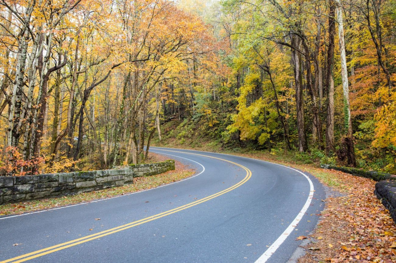
https://www.pinterest.com/ -
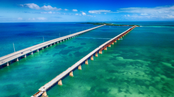
The Great Lakes Seaway Trail is able to capture the unending splendor of Lakes Erie and Ontario. It is difficult to discover waters more pure and ideal than the Great Lakes. One of the most stunning and important drives in the country, this road spans the northern border of New York for more than 450 miles. Along the route, one can learn a lot about the region's history in addition to the stunning scenery and natural beauty. For its remarkable inherent qualities, this Byway was named a National Scenic Byway in 1996. It is a must-see for anyone wishing to visit the Great Lakes and other sights that may be discovered along the way.
Without experiencing it yourself, there is no adequate way to convey the beauty of the region that this Byway passes through. Visitors have a ton of opportunities to appreciate the Great Lakes' magnificence because their waters are so large and seem to go on forever. Along this path, there are a lot of opportunities for leisure activities. Along this Byway, you can go boating, jet skiing, hiking, fishing, and many other things. For everyone interested, taking part in these activities against the backdrop of the Great Lakes will leave them with lifelong memories. Along the Great Lakes Seaway Trail, there is also a chance to see Niagara Falls. The Saint Lawrence River runs parallel to the whole length of the Byway, allowing travelers to stop along the way at any point to take in the clean yet potent waters of the river.
A wonderful treasure of not just the state of New York but the entire country, the Great Lakes Seaway Trail. Visitors should particularly take advantage of the fact that this road connects so many natural beauties because it is uncommon to find such a road. Some of the most incredible natural beauties in the world include Niagara Falls, Lake Ontario, and Lake Erie, and this one route can take you to all three of them. This path is essential to take for a family holiday because it will produce lifelong memories.
Starting Location: Buffalo, NY
Ending Location: Cornwall, Ontario
Length: 330 miles
Best Season to Drive: All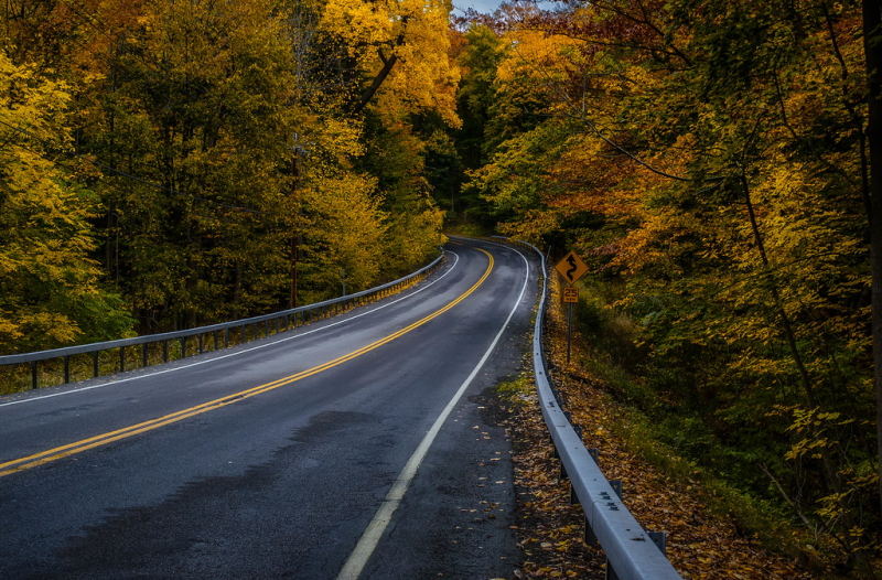
https://www.flickr.com/ 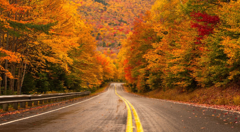
https://www.completenorthamerica.com/ -
The 8.6-mile, moderately frequented Harriman State Park Loop path, which has a lake and is situated close to Tuxedo Park, New York, is located there. From April through November is the optimum time to use the path, which is generally used for hiking and walking. This is a long path, but you'll pass by a few pretty brooks and climb and descend a lot of steep to moderate hills with beautiful scenery. Although they must be on a leash, dogs are allowed to utilize this trail.
This route winds past numerous lakes in and near Harriman State Park, displaying a verdant beauty. The parkway circles these lakes, offering stunning views of the surrounding area, animals, and more. Take a pause and see some of Arden's historic structures, such as the location of the ironworks that produced the renowned Parrott Gun during the Civil War in 1810. Shebago Beach on Lake Welch is a great location with lots of picnic tables for a lunchtime spread if you want to enjoy a swim in the water to cool off or check to see if the fish are biting. This is considered as one of the Best Scenic Drives in New York.
Starting Location: Doodletown, NY
Ending Location: Doodletown, NY
Length: 36 miles
Best Season to Drive: Spring, Summer, and Fall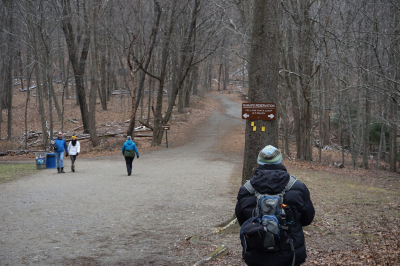
https://www.harrimanhiker.com/ 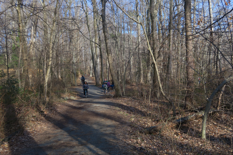
https://annandaletoday.com/ -
The historic course of the Erie Canal is followed by the Mohawk Towpath Byway as it travels from Waterford to Schenectady's Stockade District. The highway relates the tale of the Erie Canal and highlights the contribution of the nearby towns to the Industrial Revolution and the westward migration of the nation. This journey is fantastic because of the villages along the way and the Mohawk River's and Erie Canal's rich historical and cultural heritage. The corridor is filled with a variety of natural habitats, historic buildings, and breathtaking views. One can engage in a variety of outdoor pursuits near the Mohawk River, including biking, hiking, and boating.
The Mohawk Towpath Scenic Byway winds and turns along the Mohawk River, where a well-used Indian trail previously ran, passing through lush forests and charming villages. The rebuilt Proctor's Theatre and the historic homes in Schenectady's Stockade Neighborhood are also worth seeing before you leave. Beautiful views and photo opportunities can be had by taking a quick stroll to the 62-foot-high Cohoes Falls past Vischer's Ferry.
Starting Location: Schenectady, NY
Ending Location: Waterford, NY
Length: 21 miles
Best Season to Drive: Spring
https://willowwheelers.club/ 
https://www.flickr.com/ -
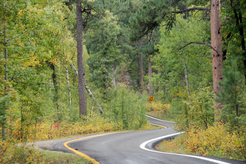
Highway 20 traverses a diverse region of the state full of farms and gently undulating hills, and was formerly known as the Cherry Valley Turnpike after which it is called. Get some fresh air and a hops sample by taking a tour of the Ommegang Brewery, which is located south of Milford. Take a stroll around Sharon Springs' historic downtown or treat yourself to a massage and a soothing hot bath at one of the many spas to see how time has stood still there.
The route 20 - Cherry Valley Turnpike - between Cazenovia and Auburn is now a lovely journey through rolling countryside, expansive vistas, and glistening lakes, just as it was intended to be. The Cherry Valley Turnpike (US-20) passes through some of New York State's most scenic scenery. Street names like Genesee Street or Cherry Valley Turnpike can be seen if you look closely. There are beautiful sights to stop at, so make sure your camera is prepared.
Starting Location: Skaneateles, NY
Ending Location: Cobleskill, NY
Length: 112 miles
Best Season to Drive: Spring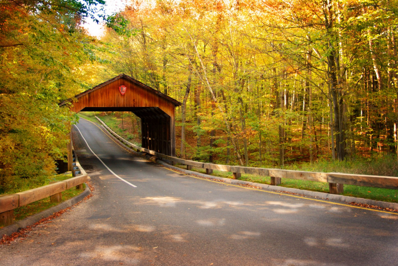
https://www.pinterest.com/ 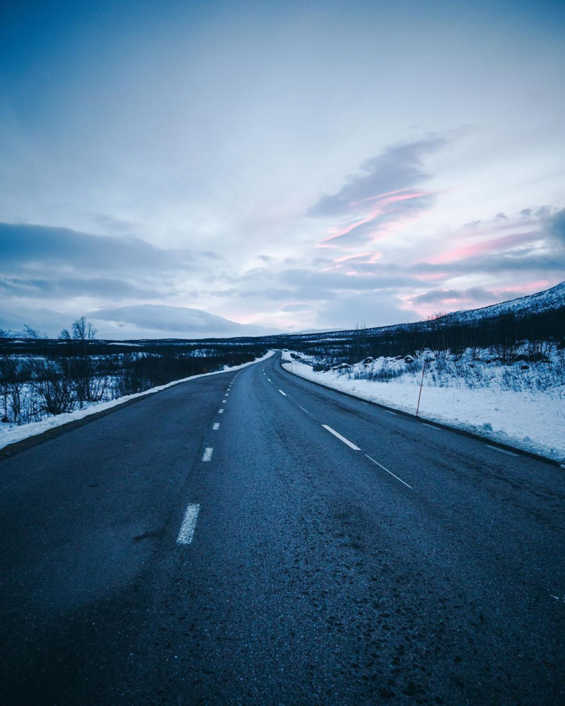
https://www.pinterest.com/ -
The Long Island’s North Shore road is ideally situated to provide views of waves breaking on the rocky beaches and forested hills rising up the ridgelines. It is situated between Lake Superior and the ridgeline. Additionally, a number of rivers flow into Lake Superior from the Lake Superior highlands.
There are four seasons along the North Shore Scenic Drive. The Byway always has a new and revitalizing appearance as the seasons change. Along the path, there is a riot of color every fall. The show of red, yellow, and gold draws visitors from all around the world. When the leaves are off the trees in the winter, the proximity of the road to the lake allows for even more sights to be shown. When the ice breaks up in the spring, mountains of ice are driven up the shore, revealing a different side of Lake Superior. Finally, the lake serves as a cooling retreat throughout the summer for both locals and tourists.
The Long Island’s North Shore road continues to be unsurpassed as the only road in the country that provides a chance to explore the wild shoreline and forests of Lake Superior in such a close-up way. In the United States, there are numerous highways that circumnavigate lakes. However, only the North Shore Scenic Drive allows visitors to have such a close-up encounter with Lake Superior, the biggest freshwater lake in the world.The North Shore Highlands and Lake Superior offer an unrivaled variety of year-round leisure opportunities. For those who like to supplement their tour with leisure pursuits, the North Shore Scenic Drive fortunately provides great access to many of these possibilities. Since the route's completion at the turn of the century, people have been seeking solace at the North Shore's natural splendor. Visitors have a cause to return again thanks to the numerous spots of interest along the route.
Starting Location: Glen Cove, NY
Ending Location: Port Jefferson, NY
Length: 39 miles
Best Season to Drive: All
https://www.flickr.com/ 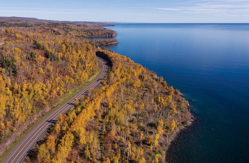
https://www.minnesotamonthly.com/ -
Many folks wait until the New York foliage is in full bloom before doing this particular journey. There are many amazing roads in the Adirondacks, and this picturesque highway is just one of them. In actuality, this time of year is simply amazing for the entire hamlet of Lake Placid. Little Whiteface Mountain can be seen in the distance. The fifth-tallest peak in New York is accessible by beginning at Wilmington and traveling up the lovely route. Whiteface Veterans Memorial Highway is one of the Best Scenic Drives in New York.
The historic Whiteface Veterans' Memorial Highway can be ridden or driven up to the summit of NY's fifth-highest mountain, which rises to a height of 4,867 feet. Check visit the Castle Café and Gift Shop at the summit for fantastic views, regional fare, trinkets, and more. You can choose to trek the 0.5-mile Alpine Nature Trail to the peak instead of seeing the genuinely breathtaking 360-degree vistas of the Adirondacks, New England, and Canada. A trek to the top is a must-do during an Adirondacks visit!
Location: 352 Whiteface Memorial Hwy, Wilmington, NY 12997
Length: 7.96 miles
Best Season to Drive: Spring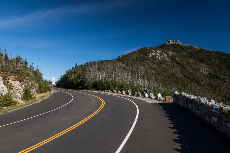
https://www.iloveny.com/ 
https://flickriver.com/ -
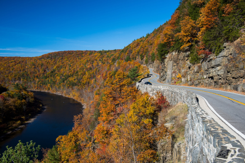
The Tusten Mountain Trail, the French Woods State Forest Preserve, the Elks Brox Memorial Park, the Crystal Lake State Reservation, the Bouchoux Trail, as well as other trails and small communities are accessible from the Upper Delaware Scenic Byway (NYS Route 97). The Upper Delaware Scenic Byway stretches along the Upper Delaware River's New York bank, providing glimpses of cliffs and wildlife. It is tucked between the Catskills and the Poconos, so you know it has the views.
Especially when they provide historical monuments, recreational opportunities, and best of all, side trips, scenic byways are not simply for driving and picnics. All of the aforementioned things are present in plenty along the Upper Delaware Scenic Byway, making it an ideal day trip or weekend getaway location. The Upper Delaware Beautiful and Recreational River, a National Wild and Scenic River designated by the NPS, runs along to the New York bank for 70 miles along Route 97, a scenic byway.
It might be helpful to remind visitors from southern states that many roadside attractions, museums, and dining establishments in northern states operate on a seasonal schedule, meaning they frequently close entirely from late fall to early spring.Starting Location: NY-97 in Port Jervis, NY
Ending Location: The Village of Hancock in Pensylvania
Length: 70 miles
Best Season to Drive: Autumn
https://www.iloveny.com/ 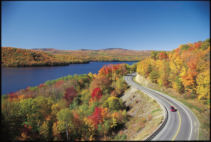
https://www.pinterest.com/ -
This 88-mile section travels through farmland, 30,000 acres of natural areas, and old Dutch towns bordered by the stunning Catskill Mountains. It begins roughly 90 miles north of NYC and winds around the Rondout and Wallkill valleys. Your need for nature should be satisfied for a while just by the vistas. With its circumference around the northern Shawangunk Mountains and passage through the Rondout and Wallkill valleys, the Shawangunk Mountains Scenic Byway connects towns with a shared connection to the Shawangunks and creates a distinct area of the state with a unique personality.
Just 90 miles north of New York City, enjoy a beautiful picturesque trip through the mountains and rural countryside. In southeast New York, the Shawangunk Range is traversed by the Shawangunk Mountains Scenic Byway, a veritable haven for hikers, rock climbers, and outdoor lovers of all stripes. The towns and villages along the trail are a fusion of the past and present, where ancient monuments and buildings coexist with contemporary businesses and pursuits. The region is renowned for the thriving community of artisans and the distinctive stores where they sell their wares.
Starting Location: New York State Thruway (I-87) north's exit 17
Ending Location: The route forms a circle around the gunks, so there's no real end!
Length: 88 miles
Best Season to Drive: All season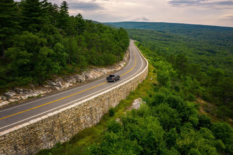
https://www.theserialhobbyistgirl.com/ 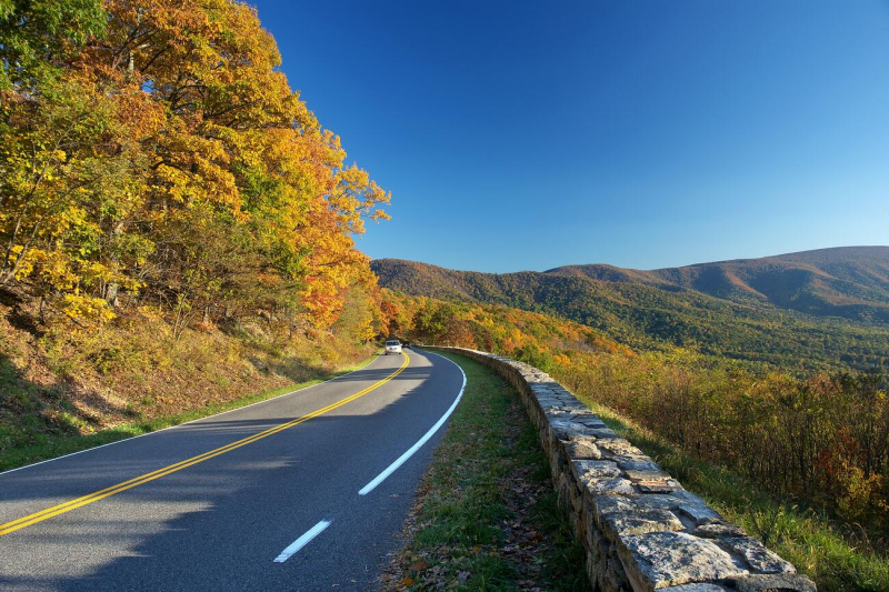
https://blog.campersinn.com/