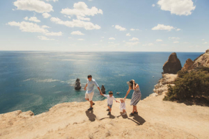
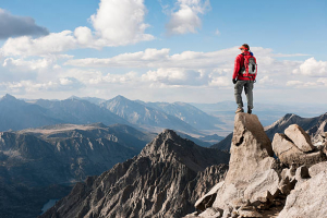
Top 12 Best Sustainable Destinations for Hiking in Europe

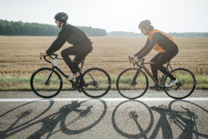
The finest treks in Europe are those that showcase the continent's incredible natural beauty. It might refer to anything from mountain treks to beach stroll. ... read more...Europe is made up of over 40 countries, each with its unique culture, topography, and natural beauty. There are ten main mountain ranges in Europe, which, combined with the 100 smaller mountain ranges, account for over 20% of the continent's landmass. There are a lot of mountains and hikes to select from. Now, let's discover the best sustainable destinations for hiking in Europe.
-
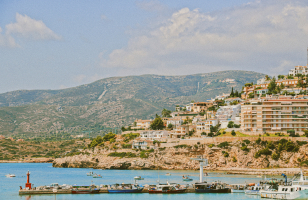
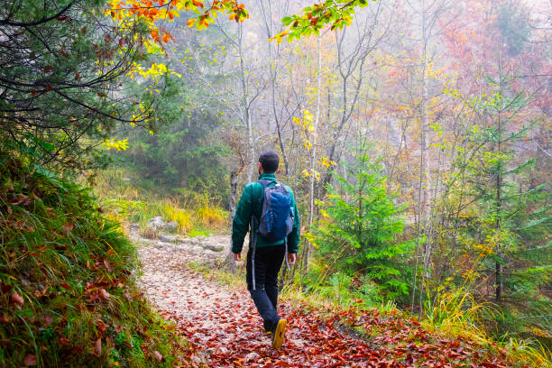
This circular path, located in the heart of the island, is inserted in the Natural Reserve of Caldeira of Faial and in a piece of protected landscape of the Central Area. With a diameter of around 2 km, it was produced during the previous 400 thousand years by a series of eruptions interspersed with periods of quiet. This trek climbs between 840 and 1040 meters and is best done on days with excellent weather and visibility. The trail markers alternate between white, red, and yellow between the Grand and Small Route intersections, and yellow and red from Small Route. The crossings are well marked on the ground with signaling arrows.
Begin the route at the Caldeira viewpoint, traverse the short tunnel that leads to the crater, and enjoy the view of its interior, which is rich in vegetation typical of the laurel forest. Back on the road, climb the stairs and turn right into a gravel lane that leads to the Chapel of So Joo. Along the walk, you may see native flora such as Azores Juniper, Azores Heather, Azores Blueberry, Azores Euphorbia, and Azores Angelica, among others.
Enjoy the views of the North and West coasts, as well as the interior of Caldeira, as you walk around it. You will pass a link to the West side of the island through the route PR 06 FAI - Rota dos Dez Vulces before the track starts rising up towards Cabeço Gordo, the highest point of the trail at 1043 meters. The route descends past the dishes till it reaches the first viewpoint. Because to its sharped unevenness, this section demands considerable caution.
Location: Faial, Azores, Portugal
istockphoto 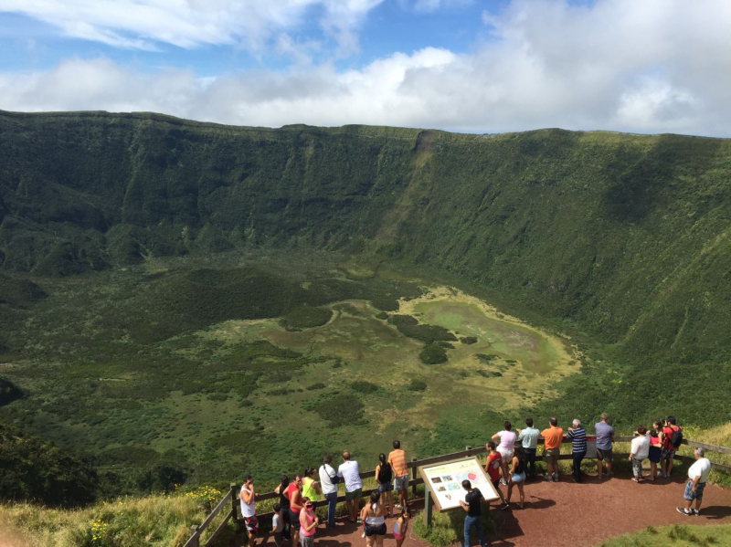
Pinterest -
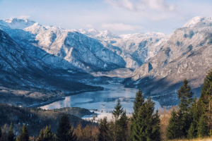
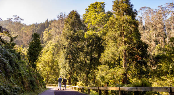
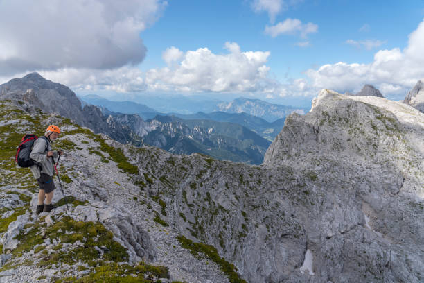
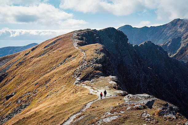
The Triglav National Park encompasses the whole northwestern region of Slovenia. The Julian Alps, the furthest extremities of the Alps, provide a stunning landscape full of majestic mountains, attractive lakes, and romantic valleys. The entire region is beautiful, so it's no surprise that it's recently grown in popularity, bringing more and more outdoor enthusiasts from throughout the continent. At first glance, the Julian Alps may appear to be dwarfed by the towering peaks of France, Italy, or Switzerland. What they lack in grandeur, they make up for in diversity.
Because the Julian Alps aren't exceptionally high, even the most famous summits are accessible to non-alpinists. Triglav itself is the highest summit, at just 2864 meters. Meanwhile, much of the park may be explored on foot without any particular equipment or skills. This makes hiking in Triglav National Park incredibly profitable. There are several routes available here, ranging from brief couple-hour excursions to multi-day adventures. You won't feel out of place whether you like a leisurely stroll or a difficult hike. Another advantage of Triglav National Park and Slovenia in general is that it is still a relatively unknown tourism destination.
This means it's not overcrowded, even throughout the holiday season. You can enjoy its incredible nature in peace and relative solitude. And nature is indeed breathtaking. Emerald water streams, rolling hills, glacial lakes, and panoramic mountain landscapes are just a fraction of what you’ll experience in the Julian Alps. So, without further ado, let’s dive right into the area’s most remarkable hikes.
Location: Soca Valley, Slovenia
istockphoto 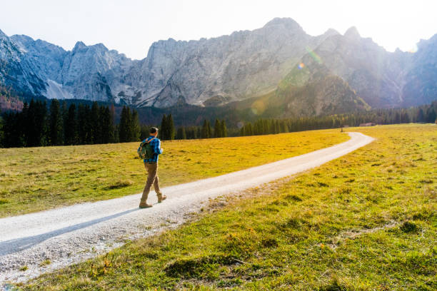
istockphoto -
One of Slovenia's most stunning sustainable locations awaits you. Bohinj's mountains, hills, and meadows are interlaced with more than 400 kilometers of well-marked and maintained hiking and climbing paths. Along these pathways, you'll discover well-maintained mountain cabins where you may rest or perhaps sleep. Bohinj is an excellent starting place for exploring the realm under Triglav, which is why Triglav was initially captured by the Bohinj. In the summer, the routes in the Bohinj mountains are thickly filled. From the valleys to the highest peaks, hikers will never run out of fresh adventures in Bohinj. Bohinj has almost 300 kilometers of recognized hiking routes.
Starting from the Ski Hotel Vogel, the climb ascends for the first couple of kilometres, following various chairlifts. The route subsequently reaches the main mountain crest, from which Mount Sija may be summited. Once at Rodica, return on the same route you came in on, via Sija, and finally up to Mount Vogel. After completing the third summit of the day, it is time to return to the Ski Hotel Vogel. Instead of returning down the same path, there is an another route that leads past Planina Zadnji Vogel to the trailhead.
Hike the Bohinj Hiking Trail or select from a variety of trips based on your skill level. Bohinj is also suitable for riding, with the round Bohinj bicycle path being especially popular with families. Book your flights to Ljubljana, your accommodation, and your excursions and activities in Slovenia, such as a trip of the Bled and Bohinj Alpine Lakes from Ljubljana.
Location: Slovenia
istockphoto 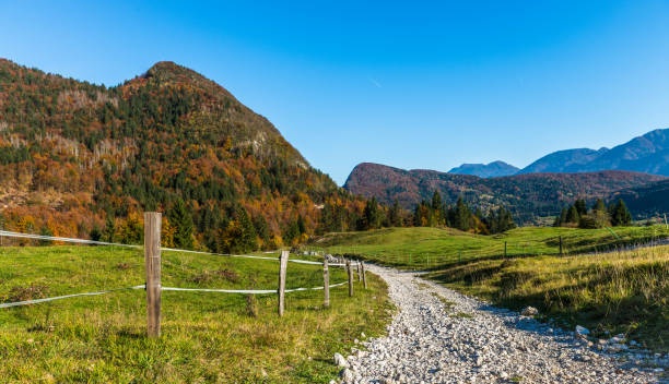
istockphoto -
One of Europe's most romantic places is also ideal for foodies and outdoor sports enthusiasts. A lovely island awaits you just a few kilometers from Milan. If you enjoy trekking or cycling, you've come to the right location. Monte Isola is a unique vacation destination for rediscovering life's basic joys. Experience a close relationship with nature: the vegetation here is represented by bushy copse woods interspersed with bay, hornbeam, ash, and chestnut. You may stroll around the island following the historic routes that connect the eleven settlements or rent a bike and enjoy the beautiful scenery.
The most popular route is the island tour, which generally begins at Peschiera Maraglio. You'll stroll through the olive groves to Sensole, where you may view the surrounding little island of San Paolo, if you take the coast road clockwise. The path subsequently steepens, going to Menzino and the magnificent Oldofredi-Martinengo Fortress. Traveling north, travel through the little village of Sinchignano before arriving at Siviano, the island's "capital", a walled town with tower buildings and narrow lanes. The most daring might attempt a tough ascent to the old settlements of Cure and Masse, which are famed for the artisanal manufacture of Monte Isola's salami.
A cobblestone route leads from Cure to the Madonna della Ceriola Sanctuary in twenty minutes, where one may enjoy a spectacular vista. Those who stop in Siviano can descend to Carzano, from whence they can see the island of Loreto. The track returns to Peschiera Maraglio after rejoining the beach road. The tour is suitable for everyone, also for bikes and families with strollers.
Location: Italy
istockphoto 
istockphoto -
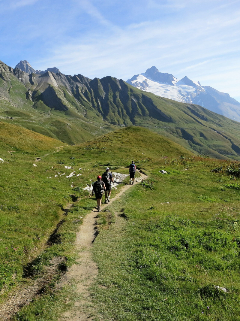
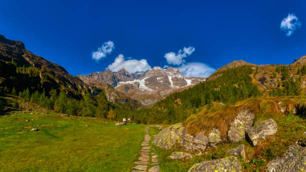
When it comes to trekking in Europe, this is the mother of all treks, circumnavigating the enormous slopes of Mont Blanc, the highest peak in the Alps. Trekking the Tour du Mont Blanc (TMB) exposes the adventurous trekker to some of the world's most stunning and diverse terrain. It is without a doubt one of Europe's most famous hiking tours, ranking alongside the Camino de Santiago, as well as one of the top European walking holidays. It's a long-distance journey at 170 kilometers, and you'll be traveling on high mountain paths with a lot of elevation gain over the course of the 11-day climb.
The Tour du Mont Blanc is filled with breathtaking alpine scenery, including glaciers, mountains, rivers, lakes, meadows, and animals. Aside from the physical difficulties of the journey, the TMB also serves as a live, breathing history lesson. You'll see churches from the 18th century that are still standing and travel the same pathways that Roman warriors did 2,000 years ago.
Mont Blanc is the highest summit in Western Europe, standing at 15,777 feet and ranking 11th in the globe in terms of topographic prominence. The Massif du Mont Blanc is around 25 miles long and features 11 peaks. The TMB will provide you with breathtaking views of them from every angle. The Tour de Mont Blanc's history is also fascinating; it was first walked in the 1700s by Genevan geologist Horace Benedict de Saussure. He had hoped to discover a method to climb up to Mont Blanc, but instead ended up strolling around it the entire day.
Location: France
istockphoto 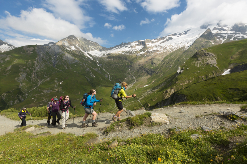
istockphoto -
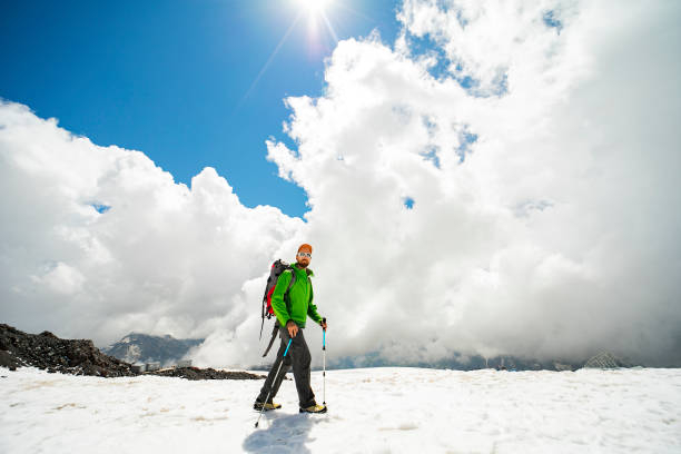
Preikestolen, the Romsdalseggen ridge, Trolltunga, and Kjerag are only a few of the most popular walks in Fjord Norway, and they are all significant excursions. However, unless you are an experienced hiker, they may be tough on your knees and quadriceps. However, there are other shorter and softer pathways that are ideal for families with children or anybody who simply prefers to take it easy. Hiking trails go along the fjords, through national parks, and through lush valleys.
And, because Fjord Norway covers 57,604 square kilometers, you might not want to do it all in one day. Why not choose one or two areas and truly explore the many intriguing nooks and crannies there - while avoiding the crowds? There are numerous regions in western Norway, and some of the greatest treks in each area are included here, from south to north. Make sure you research which hiking trails are appropriate for your skill level ahead of time. Trek with the family across blue glaciers and see mountains that rise straight up from tiny fjords. Wander through natural parks that range from harsh glaciers to lush woods. Those up for a challenge can visit the iconic Trolltunga, Geirangerfjord, Himakana, Langfossen, or Preikestolen. All levels of trekker are welcome.
Location: Norway
istockphoto 
istockphoto -
A trip to Slovenia isn't complete unless you climb Mount Triglav, the country's highest point. Mount Triglav is a mountain in northwest Slovenia that is part of the Julian Alps Mountain range. The National Park is filled with mountains, lakes, and breathtaking scenery. However, Triglav is the highest point not just in the National Park, but also in Slovenia.
To go to the peak of Slovenia, there are various options. The most popular is a two-day journey that includes an overnight stay in one of the mountain cabins. Triglav may also be climbed in a single day, with some routes being easier to finish in a single day than others. Whatever choice you pick, there will be some type of set lines leading to the mountain's peak. Essentially, metal wires are connected to the slope to assist climbers in reaching the summit securely.
A fixed path like this is known as a Via Ferrata, and you must wear a harness with carabiners. As you climb, you'll clip these carabiners to the fixed rope. A helmet will also be required for rockfall protection. The Via Ferrata equipment may be hired at mountain cabins, but if you want to be safe, you can buy a Via Ferrata set ahead of time. Climbing without equipment is not essential, however it is strongly recommended, especially for climbers with minimal technical skill.
Check out the route from lovely Bled, which includes a stop at Kredarica hut, Slovenia's highest mountain lodge. You may go on guided tours or tackle it alone, but with the via ferrata in place, many people are grateful they had the guide when they get there. To go it alone, you must be a very skilled mountaineer with the necessary equipment.
Location: Slovenia
istockphoto 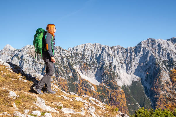
istockphoto -
The Caucasus Mountains run southeast from southern Russia near the Black Sea to Azerbaijan's Absheron Peninsula on the Caspian Sea, spanning the tectonic plates of Europe and Asia. There are two different ranges: the Greater Caucasus to the north, which is around 1,200km (746mi) long, and the Lesser Caucasus to the south, which is approximately 600km (373mi) long. Between the two countries, a corridor of relatively level plains continues northwest across Azerbaijan and Georgia, characterized by lush farmlands, woodlands, and vineyards.
When you go trekking in Georgia, you get to explore places that few people have. The barren Caucasus Mountains of Georgia have just recently opened to tourists. You'll see fauna like as deer, chamois, and marmots, as well as green, white, and turquoise lakes, medieval villages and cities, and peaks rising into the sky.
One of the most appealing aspects of trekking in the Caucasus Mountains is also its greatest drawback in terms of accessibility for visitors: enormous stretches of wilderness far far from civilization. Hiking, unlike in many mountainous parts of Europe, is not a popular recreational activity among the people. There aren't many legally defined paths, and those that do may be cow tracks that fade due to repeated exposure to the weather. However, if you go to the correct places, the rewards are fantastic.
Location: Georgia
istockphoto 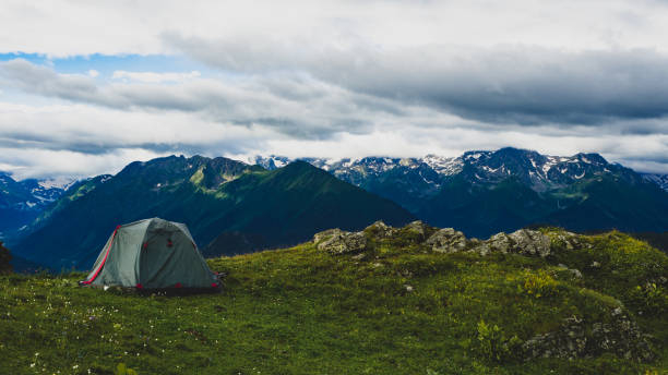
istockphoto -
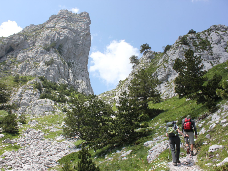
The Via Dinarica Hiking Trail in the Balkans is a new long-distance hiking trail. There are really three Via Dinarica Hiking Trails. The White Trail, the most difficult primary path, follows the highest peaks of the Dinaric Alps. The Green Trail, the green variety, meanders slightly north through valleys and woodland, alongside rivers and communities. And the Blue Trail, the blue Via Dinarica trail, follows the Adriatic coast all the way to the south.
Visit the Balkans and learn about the food, music, and old-world legacy that still remains in this part of Europe. In more than 120 stages, the Via Dinarica traverses the Dinaric Alps and Sharr Mountain Range. It connects Slovenia, Croatia, Bosnia and Herzegovina, Montenegro, Kosovo, Serbia, Albania, and Macedonia as an adventure and cultural corridor.
Aside from the three Via Dinarica pathways, the Dinaric Alps provide a plethora of other outdoor activities. The Via Dinarica is much more than a route. Or three paths. Via Dinarica is essentially a framework for developing sustainable eco-tourism and stimulating local economic prosperity. The task is to create awareness about the necessity of environmental conservation while still preserving the region's character.
Location: The Balkans
Pinterest 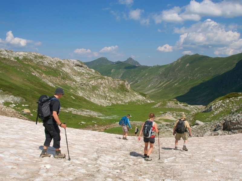
istockphoto -
The West Highland Way Hike in Scotland is one of the world's most famous long-distance hikes. The path is 96 miles (154 kilometers) long, stretching from Milngavie near Glasgow to Fort William in the heart of the Highlands. The West Highland Way, Scotland's first long distance hiking path, was established in 1980 and is now a member of the International Appalachian Trail. The path is a fantastic experience across Scotland's diverse scenery, which becomes increasingly impressive as you go deeper into the mountainous highlands. The West Highland Way Hike is a magnificent wonderland that takes you from the quiet beaches of Loch Lomond to the wilds of Rannoch Moor and the breathtaking natural splendor of the Scottish Highlands.
People usually begin the path in Glasgow and trek north to Fort William since the southern portions are simpler and will help prepare you for the more tough terrain in the northern sections. The West Highland Way trek is a lengthy and rather difficult path, but it is doable with ordinary fitness. The trail's northern parts are more difficult, but the height is just approximately 1800 feet (550 meters), so you don't need to be an expert climber to tackle it.
While the path may be completed in around 5 days, it is advised that you plan your trip for 7 or 8 days. Most tour providers adhere to a set route that demands an average of 12 miles (19km) of walking each day. Most people choose a self-guided walk planned by a tour operator since it requires the least amount of planning. There are hotels, mountain cottages, and cabins to stay in along the journey, but many people choose to camp. This is the UK's oldest hiking trail, and it is still one of the best in the world.
Location: Scotland
istockphoto 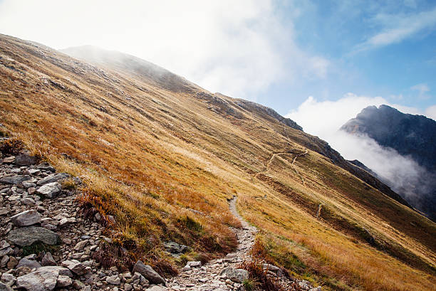
istockphoto -
The Monte Rosa massif is one of the most magnificent in the Alps, with 10 peaks rising above 4,000 meters. The 9-day Tour de Monte Rosa walk around the mountain is widely regarded as one of the top hiking routes in the Alps. The trip offers an incredible blend of breathtaking alpine scenery across two major European countries.
The Tour de Monte Rosa is a superb alternative to the Tour du Mont Blanc, offering peaceful mountain passes, verdant valleys filled with wooden Swiss Chalets, and the tranquillity of secluded Italian mountain communities in the final sections of the walk. However, while being one of the most gorgeous treks in the Alps, the path is hard, notably the 3,295m high Theodul Pass crossing!
The majority of hikers begin their journey at Täsh, Switzerland, heading anti-clockwise. The incredibly magnificent Monte Rosa is located on the border between Switzerland and Italy, close to the east of the Matterhorn. The Tour de Monte Rosa is an excellent opportunity to explore the many valleys of both nations. The round trek will take you through extremely glaciated areas, provide numerous stunning views of Switzerland's highest peaks, and take you through some of the highest mountain passes in the Alps. The journey will take you via well-known cities like as Zermatt, Aosta, and Saas Fee, as well as the legendary Europaweg.
Location: Italy
istockphoto 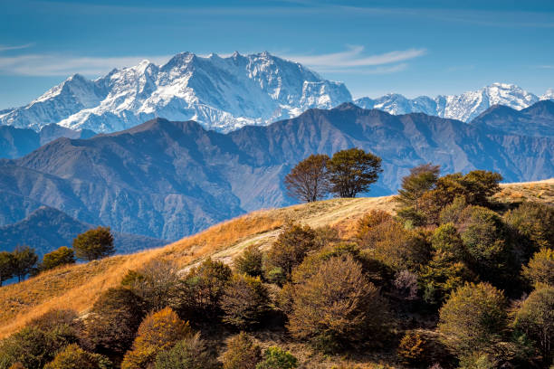
istockphoto -
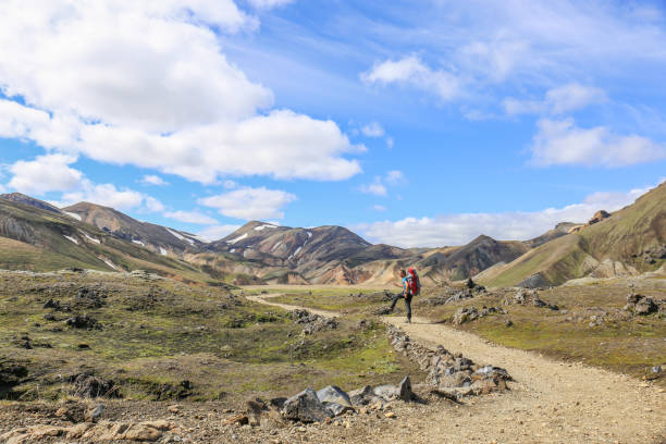
The Laugavegur route is Iceland's most famous trek - an ultimate experience on any nature lover's bucket list. This 55-kilometer path connects Landmannalaugar with Thórsmörk. There are dark volcanic deserts, boiling geothermal springs, glacial rivers, and deep valleys with plunging ravines can be found. A fantastic adventure that will leave no one unaffected.
Laugavegur flows from the Landmannalaugar hot springs region to the órsmörk glacier valley. It is notable for the many landscapes that it passes through. Typically, the trek is completed in four days, north to south, with pauses at the mountain huts at Hrafntinnusker, lftavatn, and Emstrur. During the trek, at least three rivers must be crossed. The walk can be combined with a hike along the Fimmvöruháls trail from órsmörk to Skógar. The trail offers a variety of different landscapes with beautiful views and experiences along the way.
Accommodation along the path is available in primitive mountain huts and camping areas, as well as private accommodation in the Laugavegur Expedition Trucks at the lftavatn Trail Post, which also serves as a small restaurant. The majority of hikers begin at Landmannalaugar and end in órsmörk Nature Reserve. It is also feasible to extend the walk by include the hikes in órsmörk and across the Fimmvöruháls Trail all the way to Skógar, south of the Eyjafjallajökull Volcano and Glacier.
Location: Iceland
istockphoto 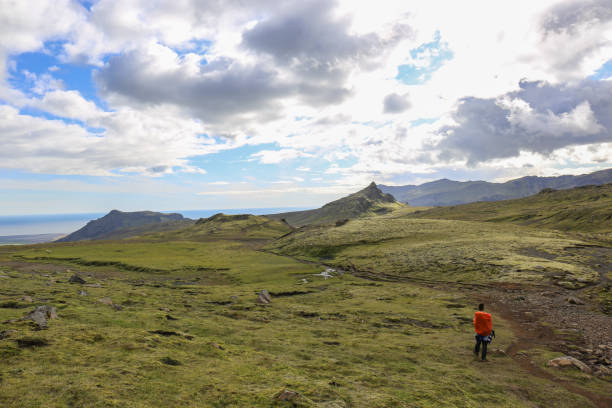
istockphoto