Top 3 Reasons Why You Can't Measure the Coastline of Britain

The coastline of the United Kingdom is formed by a variety of natural features including islands, bays, headlands, and peninsulas. It consists of the coastline ... read more...of the island of Great Britain and the northeast coast of the island of Ireland, as well as many much smaller islands. However, it seems that the UK's coastline is impossible to measure. In this post, let's find out what are the reasons you can't measure the coastline of Britain.
-
The first reason why you can't measure the Coastline of Britain is probably its unusual shape. It is said that the coastline of the United Kingdom is way more broken than the coastlines of many other countries. Moreover, the United Kingdom also has a great number of islands, which makes the nation's coastline even more complicated to measure. As a result of this particular shape and the number of islands, the United Kingdom has a longer coastline than that of similar-sized countries, which means the UK has a relatively high cost/area ratio.
The scale of the coastline of Britain's shape is measured by 'fractal', 'Hausdorff dimension', or 'wiggliness'. The UK's coastline's 'wiggliness' is around 1.25, which is comparatively high compared to other countries, for an instant, the Australian coastline has a fractal dimension of 1.13, and that of South Africa is only 1.02.
The coastline of the United Kingdom is so long, that nowhere (where people live) in the UK is farther from the coast than 113 kilometers (70 mi). Out of the 60 million residents in the UK, 3 million are thought to live in that area. The locations that are the farthest from the shore include Westbury-on-Severn in Gloucestershire, White Sands between Neston in Cheshire and Flint, Flintshire in Wales, and Coton in the Elms in Derbyshire, which is equidistant from Fosdyke Wash in Lincolnshire.
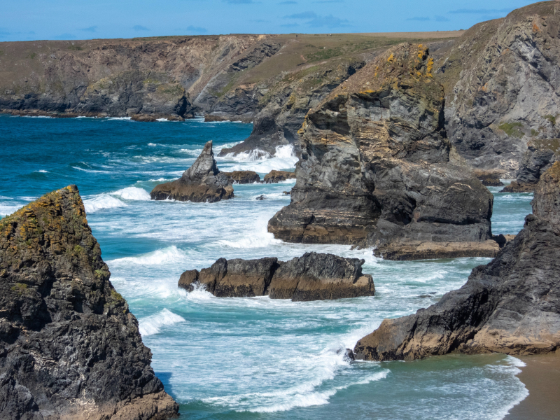
Bedruthan Steps, Wadebridge, UK - Photo by Nick Fewings for Unsplash 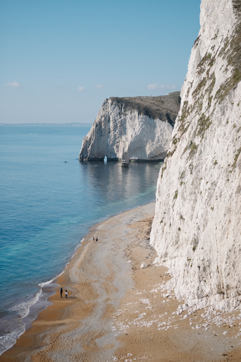
Durdle Door, Wareham, United Kingdom - Photo by Robert Bye for Unsplash -
Every coastline's measurement is based on the precision of the measurement and the scale of the map being used. More information will be displayed and measured with a longer length when the map scale is larger and the units of measurement are smaller. Therefore, there is no such thing as "an approximate response" to this topic because the resultant length increases faster than the scale of measurement.
To look at it more simply, let's imagine looking at the map of the UK from Google Maps or any map where you can zoom in on the map. The more you zoom, the more details are revealed, meaning the overall length will keep on increasing. This phenomenon is known as the name "coastline paradox". You might understand it better when looking at some of the measurements of the UK's coastline. According to the CIA Factbook, the length of the UK coastline is around 12,429 km or 7,723 miles. However, according to the World Resources Institute, this length is around 19,717 km, etc.
Moreover, the length of the coastline also changes every day when there is low tide or high tide. There is also no consensus about which features should be included in the measurement of the coastline, for example, should people also measure every headland, rock, and stone along the coastline?
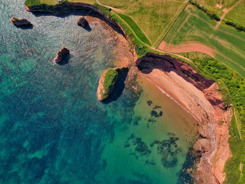
Green and Brown Land in The UK - Photo by Red Zeppelin for Pexels 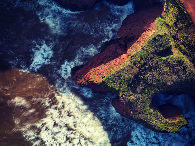
Dawlish Warren, England, United Kingdom - Photo by Red Zeppelin for Pexels -
As said above, the coastline of Britain changes its shape twice a day depending on the level of the tide, just like any other country's coastline. However, the United Kingdom's coastline is also not fixed, in the sense that it changed its shapes over time, and this will keep on happening in the future. The outline of Britain is not in the same shape as it was 8,000 years ago.
Britain was not an island 20,000 years ago during the end of the last Ice Age; instead, a landmass known as Doggerland connected the entire east coast of the country, from Scotland to the Isle of Wight, to continental Europe. And Doggerland was not an isolated corner of the continent either. Over time, Doggerland slowly sank into the ocean, and the last part of Doggerland to be submerged was Dogger Bank, the high ground in the center of the plain, which is now the North Sea shoal. The submerge began around 6100 BCE when a subterranean landslide off the coast of Norway sent a wave ten meters high crashing across it. After a long time of constantly changing, the coastline of Britain got its shape like what we know now.
However, the changing process hasn't stopped yet! Tidal surges, mangroves, and other factors are making the UK's coastline change its shape. People living near the coastline stated that their lands "disappear" up to 28 feet long after twelve months. This is for sure one of the most important on why you can't measure the Coastline of Britain.
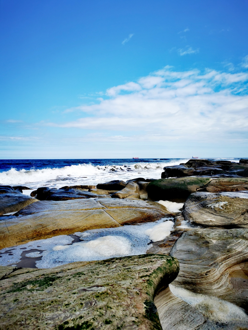
Rocky Beach UK - Photo by Daniel Loftus for Unsplash 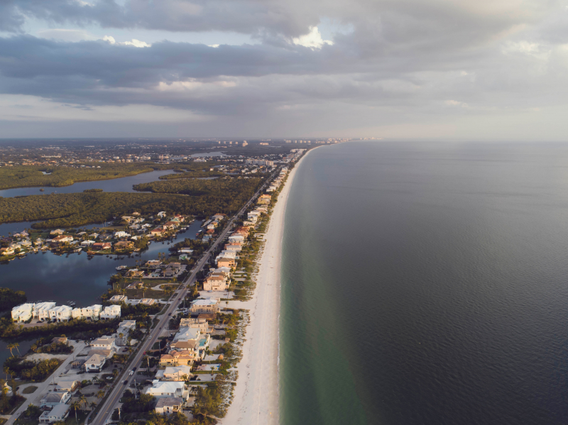
Photo by Josh Sorenson for Pexels