The Coastline isn’t Fixed
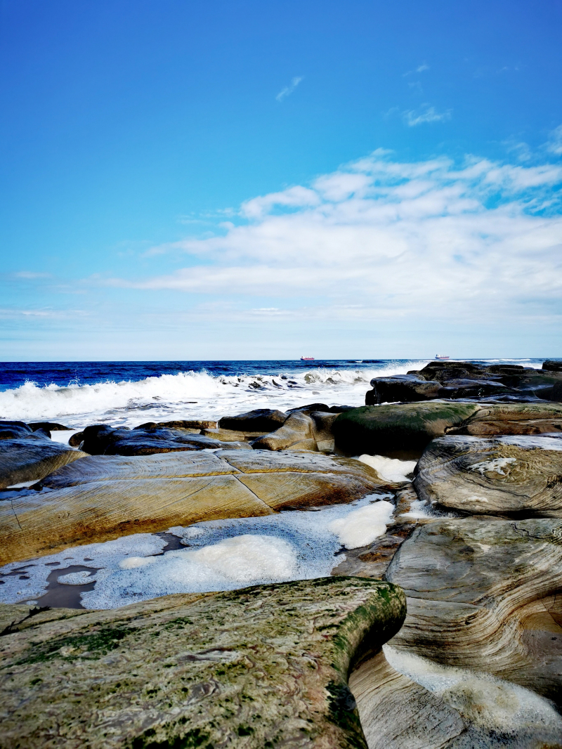
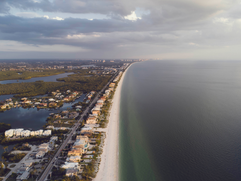
As said above, the coastline of Britain changes its shape twice a day depending on the level of the tide, just like any other country's coastline. However, the United Kingdom's coastline is also not fixed, in the sense that it changed its shapes over time, and this will keep on happening in the future. The outline of Britain is not in the same shape as it was 8,000 years ago.
Britain was not an island 20,000 years ago during the end of the last Ice Age; instead, a landmass known as Doggerland connected the entire east coast of the country, from Scotland to the Isle of Wight, to continental Europe. And Doggerland was not an isolated corner of the continent either. Over time, Doggerland slowly sank into the ocean, and the last part of Doggerland to be submerged was Dogger Bank, the high ground in the center of the plain, which is now the North Sea shoal. The submerge began around 6100 BCE when a subterranean landslide off the coast of Norway sent a wave ten meters high crashing across it. After a long time of constantly changing, the coastline of Britain got its shape like what we know now.
However, the changing process hasn't stopped yet! Tidal surges, mangroves, and other factors are making the UK's coastline change its shape. People living near the coastline stated that their lands "disappear" up to 28 feet long after twelve months. This is for sure one of the most important on why you can't measure the Coastline of Britain.


