The Coastline's Shape
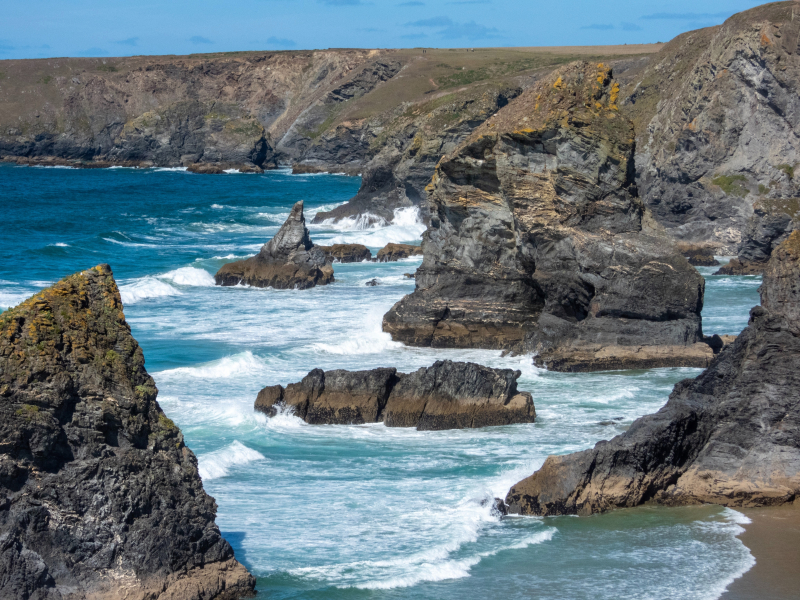
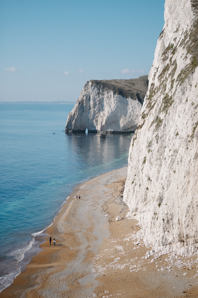
The first reason why you can't measure the Coastline of Britain is probably its unusual shape. It is said that the coastline of the United Kingdom is way more broken than the coastlines of many other countries. Moreover, the United Kingdom also has a great number of islands, which makes the nation's coastline even more complicated to measure. As a result of this particular shape and the number of islands, the United Kingdom has a longer coastline than that of similar-sized countries, which means the UK has a relatively high cost/area ratio.
The scale of the coastline of Britain's shape is measured by 'fractal', 'Hausdorff dimension', or 'wiggliness'. The UK's coastline's 'wiggliness' is around 1.25, which is comparatively high compared to other countries, for an instant, the Australian coastline has a fractal dimension of 1.13, and that of South Africa is only 1.02.
The coastline of the United Kingdom is so long, that nowhere (where people live) in the UK is farther from the coast than 113 kilometers (70 mi). Out of the 60 million residents in the UK, 3 million are thought to live in that area. The locations that are the farthest from the shore include Westbury-on-Severn in Gloucestershire, White Sands between Neston in Cheshire and Flint, Flintshire in Wales, and Coton in the Elms in Derbyshire, which is equidistant from Fosdyke Wash in Lincolnshire.


