Acotango

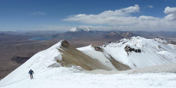
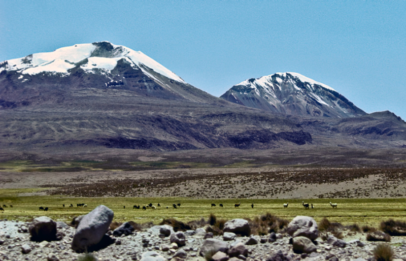
Acotango is the highest and most central of a collection of stratovolcanoes that straddle the Bolivian-Chilean border. It stands at a height of 6,052 meters (19,856 feet). Kimsa Chata is made up of three mountains: Acotango, Umurata (5,730 meters (18,799 feet) to the north, and Capurata (5,990 meters (19,652 feet) to the south. The group is arranged in a north–south direction. Sergio Kunstmann, Pedro Rosende, and Claudio Meier (Chile) made the first modern ascent of Acotango on October 14th, 1965. The remains of firewood are thought to have been discovered at the peak of Acotango by Pedro Rosende, a Chilean adventurer. As a result, the peak is supposed to have been one of the highest Incan Andean sanctuaries. However, more research is required to confirm this information.
Although the Acotango volcano has been badly eroded, a lava flow on its northern face is morphologically young, implying that it was active during the Holocene. Later study suggests that the lava flow is Pleistocene in age. On dacites from Acotango, argon-argon dating has revealed dates of 192,0008,000 and 241,00027,000 years. Glacial action has exposed hydrothermally altered sections of the interior volcano. Glacial moraines can be found at an altitude of 4,200 meters (13,800 feet), although a current ice cover can only be found above 6,000 meters (20,000 feet).
In the Sajama and Lauca National Parks, the volcano is a popular hiking path. It is located on the border of the two provinces: Chile's Parinacota and Bolivia's Sajama. Its slopes are located within the administrative boundaries of two cities: Putre, Chile, and Turco, Bolivia. Due to land mines, climbing the top from the Chilean side is risky; however, climbing the summit from the Bolivian side is quite safe. The southern ascent begins with a glacier crossing and continues via an abandoned copper mine.
Elevation: Bolivia/Chile
Range: Cordillera Occidental
Elevation: 6052 m | 19856 ft


