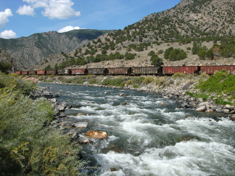
Arkansas River

The Arkansas River begins at Leadville, Colorado, in the Sawatch Range of the Rocky Mountains, and ends in eastern Arkansas at the Mississippi River's confluence, where the town of Napoleon (Desha County) previously existed. The river has a length of 1,460 miles and travels through three states before entering Arkansas. The Arkansas River is the Mississippi-Missouri river system's second-longest tributary, the United States' sixth-longest river, and the world's forty-fifth-longest river. Wichita, Kansas; Tulsa, Oklahoma; and Little Rock, Arkansas are located along the banks of this river, which drains about 160,500 square miles of land (Pulaski County).
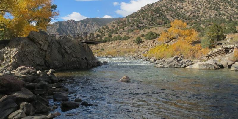
The Arkansas River, which flows east-west across the state, has had a considerable influence on the natural environment, settlement patterns, and economy of Arkansas. The river's valley, which stretches over the western part of the state, is thirty to forty miles wide. The Arkansas Valley is a landform feature that has been classified as one of Arkansas' six natural areas. It is a somewhat flat region with some rolling hills that separate the Ozark Mountains from the Ouachita Mountains. However, the region is bordered by a number of gorgeous, flat-topped mountains. The Arkansas Valley region has some of the state's highest points.
Length: 2,322 Km