Red River
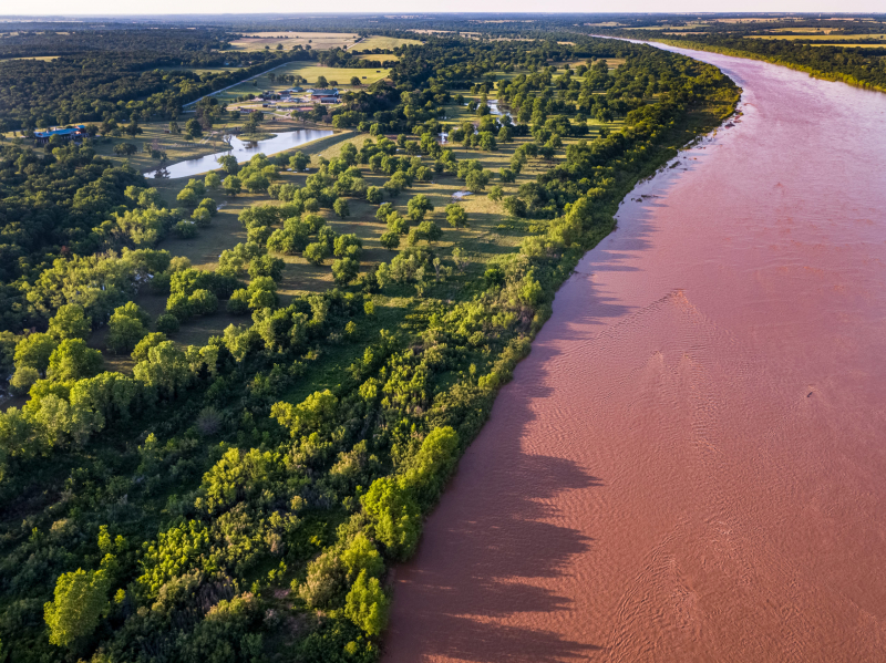
The Red River, also known as the Red River of the South, is a navigable river in eastern New Mexico that rises in the high plains and flows southeast through Texas and Louisiana to a point northwest of Baton Rouge, where it joins the Atchafalaya River, which flows south to Atchafalaya Bay and the Gulf of Mexico. Until the mid-twentieth century, the Red River supplied water to both the Atchafalaya and the Mississippi via the Old River. However, the river ceased to be a tributary of the Mississippi with the erection of a flood-control system on the Old River. The Red River has a catchment area of 93,000 square miles.
The Great Raft, a 160-mile log bottleneck above Natchitoches, Louisiana, hampered early navigation. Henry Miller Shreve designed the first snag boats to clear the Raft in the 1830s. In 1873, a second log jam was freed. Though southeastern Arkansas, nearly 450 miles upstream, is currently considered the head of navigation, only a few months of the year can vessels with a draft of more than 4 feet go that far. The lowest 35 miles of the river have the highest traffic. As part of a flood-control and river-development program, many reservoirs have been created on tributaries of the Red River in Texas, Oklahoma, Arkansas, and Louisiana.
Length: 1,811 Km


