Top 10 Longest Rivers in the United States

The United States is a vast country with a diverse range of landscapes, geography, and ecosystems. Several big rivers cut across the area, whether via deep ... read more...river valleys, slicing through hilly terrain, or running through marshy marshes. The United States boasts some of the world's largest rivers, and due to the country's sheer size, it has a lot of exceptionally lengthy rivers. Here is a list of the 10 longest rivers in the United States.
-
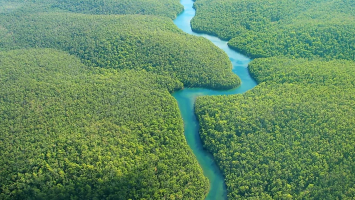
The Missouri River is the 1st longest river in the United States. It has a total length of 3,768 kilometers and is a tributary of the Mississippi River (also on this list). This enormous river drains almost one-sixth of North America's whole continent, and several smaller rivers and tributaries pour into it.
The river's headwaters originate in the Rocky Mountains of Montana, near the continental divide, at one of the highest spots on the continent. The waters then travel through North Dakota, South Dakota, along the border of Iowa and Nebraska, and finally through Missouri to the river's mouth at St. Charles. Because this is the country's longest and one of its major rivers, its national significance cannot be overstated. For thousands of years, it has functioned as a mode of transportation as well as a source of sustenance in the form of fish and wildlife that live along the river's banks. The river is also utilized for agriculture and as a supply of water for populations in the states that surround it.
Length: 3,768 Km
roadtrippers.com 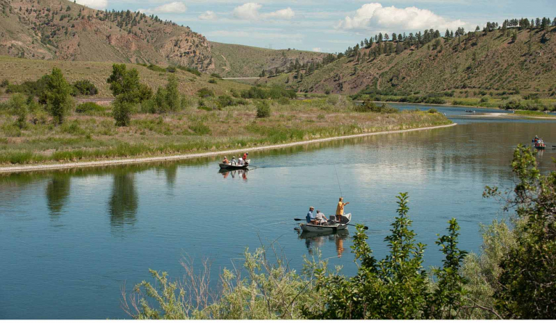
visitmt.com -
The Mississippi River is the second-longest river in North America and the primary river of the continent's second-largest drainage system, second only to the Hudson Bay drainage system. It flows south for 2,340 miles (3,770 kilometers) from its historic source of Lake Itasca in northern Minnesota to the Mississippi River Delta in the Gulf of Mexico. It comprises the world's fourth-longest river system when coupled with Missouri. It passes through Mississippi, Minnesota, Wisconsin, Iowa, Illinois, Missouri, Tennessee, and Louisiana, as well as the states of Minnesota, Wisconsin, Iowa, Illinois, Missouri, Tennessee, and Louisiana.
The river's mouth drains into the Gulf of Mexico, but Lake Itasca in Clearwater County, Minnesota, is the river's primary source.The Mississippi is a massive river, stretching over 18 kilometers at its widest point. It has also played a significant role in history since it has given rise to saw and wheat milling, as well as containing about a quarter of all North American fish species.
Length: 3,544 Km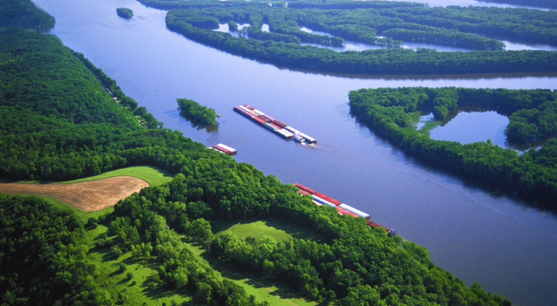
nature.org 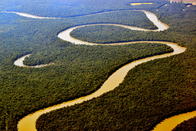
gearjunkie.com -
The Yukon River is the third-longest river in the United States, with a length of 3,190 kilometers. This river originates in British Columbia, Canada, and flows westward through the Yukon Territories, which bear the same name. It then flows across the entire state of Alaska, allowing it to be recognized as a United States river. The Yukon River runs all the way from Canada to Alaska's western coast, where it empties into the Bering Sea.
Native Americans and early Europeans exploited the Yukon as a mode of transportation throughout northern North America, and it was important not just for hunting and travel, but also for the Klondike or Yukon Gold Rush. The Teslin, Big Salmon, Pelly, Stewart, Klondike, Porcupine, and Koyukuk are the primary east- and north-bank tributaries, while the Takhini, White, and Tanana are the main west- and south-bank tributaries. Its rivers drain an area of around 328,000 square miles (850,000 square kilometers) from a semicircle of high mountains surrounding it. Until the mid-nineteenth century, when individuals of European descent began to move into the region, first as fur traders and subsequently in search of mineral wealth, this vast area—larger than Turkey—was populated primarily by North American Indians.
Length: 3,190 Km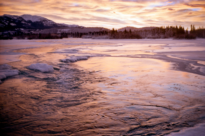
wikipedia.org 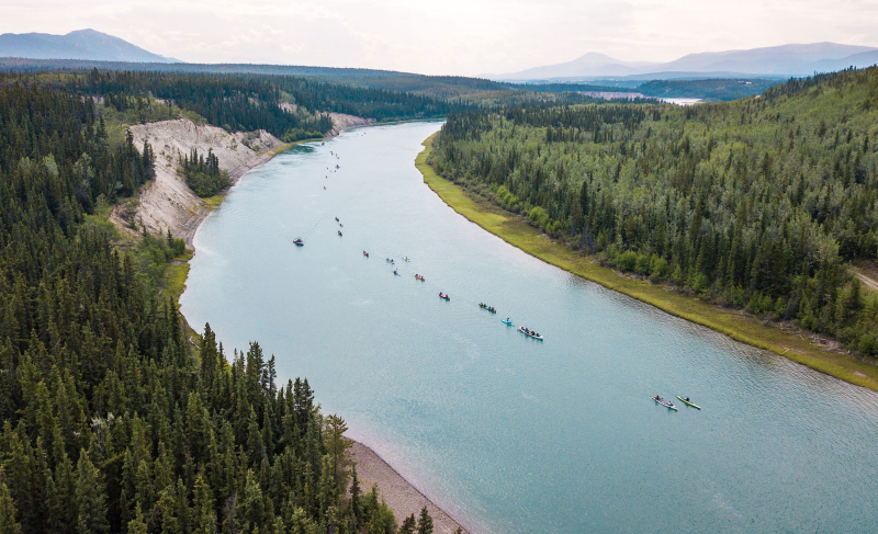
sup.star-board.com -
The Rio Grande is the fourth-longest river on our list. The word itself means "huge river," so it's no wonder that it's one of the country's largest rivers. The river's sources are in the San Juan Mountains of the Colorado Rockies, and it runs through New Mexico before forming the Texas-Mexico boundary.
The river drains into the Gulf of Mexico at its mouth. Because the river passes through desert and drought-prone terrain, there are periods when it goes dry. The river drains into the Gulf of Mexico at its mouth. Because the river passes through desert and drought-prone terrain, there are periods when it goes dry. In fact, the river failed to reach the Gulf in 2001 and 2002 and dried up altogether before it could travel the entire length of its route. Nonetheless, the river's primary and continuous route is around 2,830 kilometers long.Irrigation has been employed in the Rio Grande basin from prehistoric times, most notably by the ancestors of New Mexico's Pueblo Indians. The water treaties between the United States and Mexico, as well as the Rio Grande Compact (1939) among Colorado, New Mexico, and Texas, concerning shared use of the upper Rio Grande subbasin, and the Pecos River Compact (1948) between New Mexico and Texas, concerning the Pecos above Girvin, Texas, were all necessary due to population and water use increases.
Length: 2,830 Km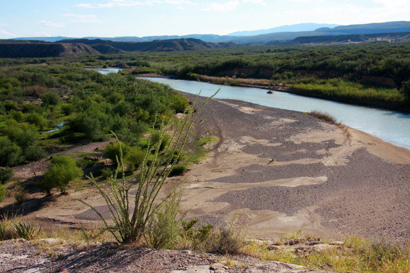
wikipedia.org 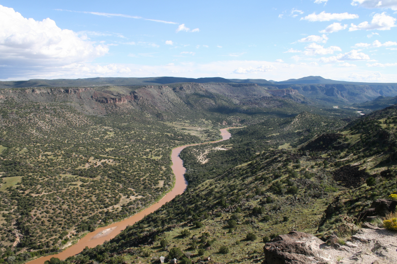
wikimedia.org -
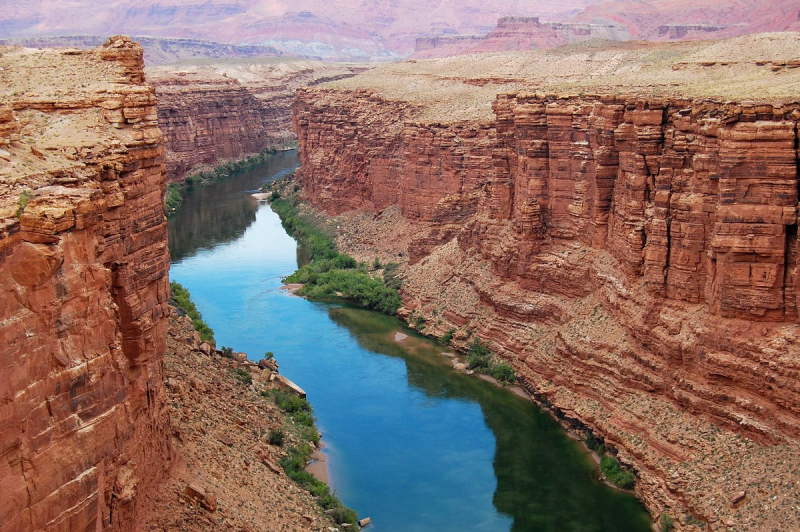
The Colorado River is 2,330 kilometers long. The river's source is the Rocky Mountain National Park, and it empties into the Gulf of California. From Lake Powell to the Grand Canyon, Hoover Dam, and Lake Mead, the Colorado River passes through a number of well-known basins and lakes. It also serves as a state boundary in a few instances, spanning between Arizona and Nevada, and later between Arizona and California. The Colorado River is also a key supply of water for large cities such as Los Angeles, Las Vegas, San Diego, Phoenix, and Tucson, which are served by aqueducts that transport water from the river to the cities.
The Colorado River and its hundreds of magnificent tributaries carved out the Grand Canyon and blasted the Rockies for six million years, washing mineral-rich material to the sea. These rivers were never dry, even when they were flooded. However, the Gila River, Arizona's second-largest tributary, is mostly dry in its lower reaches; the Salt River, which supplies Phoenix, no longer makes it to a confluence with the Gila; the Santa Cruz is only visible beneath Tucson bridges during rare floods; and the Colorado River itself, almost unbelievably, has stopped flowing to the sea in most years since the completion of Glen Canyon Dam in 1966.
Length: 2,330 Km
tripadvisor.com 
nature.org -
The Arkansas River begins at Leadville, Colorado, in the Sawatch Range of the Rocky Mountains, and ends in eastern Arkansas at the Mississippi River's confluence, where the town of Napoleon (Desha County) previously existed. The river has a length of 1,460 miles and travels through three states before entering Arkansas. The Arkansas River is the Mississippi-Missouri river system's second-longest tributary, the United States' sixth-longest river, and the world's forty-fifth-longest river. Wichita, Kansas; Tulsa, Oklahoma; and Little Rock, Arkansas are located along the banks of this river, which drains about 160,500 square miles of land (Pulaski County).
The Arkansas River, which flows east-west across the state, has had a considerable influence on the natural environment, settlement patterns, and economy of Arkansas. The river's valley, which stretches over the western part of the state, is thirty to forty miles wide. The Arkansas Valley is a landform feature that has been classified as one of Arkansas' six natural areas. It is a somewhat flat region with some rolling hills that separate the Ozark Mountains from the Ouachita Mountains. However, the region is bordered by a number of gorgeous, flat-topped mountains. The Arkansas Valley region has some of the state's highest points.
Length: 2,322 Km
pinterest.com 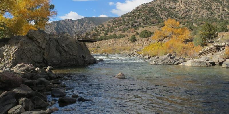
uncovercolorado.com -
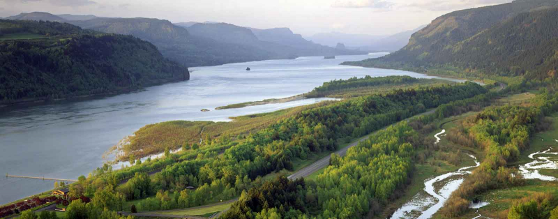
The Columbia River is North America's greatest river that flows into the Pacific Ocean. Only the Mississippi, St. Lawrence, and Mackenzie rivers release more water on the continent. The Columbia River is one of the world's most important producers of hydroelectric power, accounting for a third of the country's total hydropower potential. Its mouth also serves as the first deepwater port north of San Francisco. Between the headwaters in British Columbia and the US border, two-fifths of the river's 1,240-mile (2,000-km) flow is in Canada, with 500 miles in Canada.
The Columbia River has a drainage area of 258,000 square miles (668,000 square kilometers), with 85 percent of it in the northwest United States. The Kootenay, Snake, Pend Oreille, Spokane, Okanogan, Yakima, Cowlitz, and Willamette rivers are major tributaries. When the snow in the mountainous watershed melts, high flows occur in late spring and early summer. In the fall and winter, low flows cause water shortages for the river's hydroelectric facilities.
Length: 2,000 Km
americanrivers.org 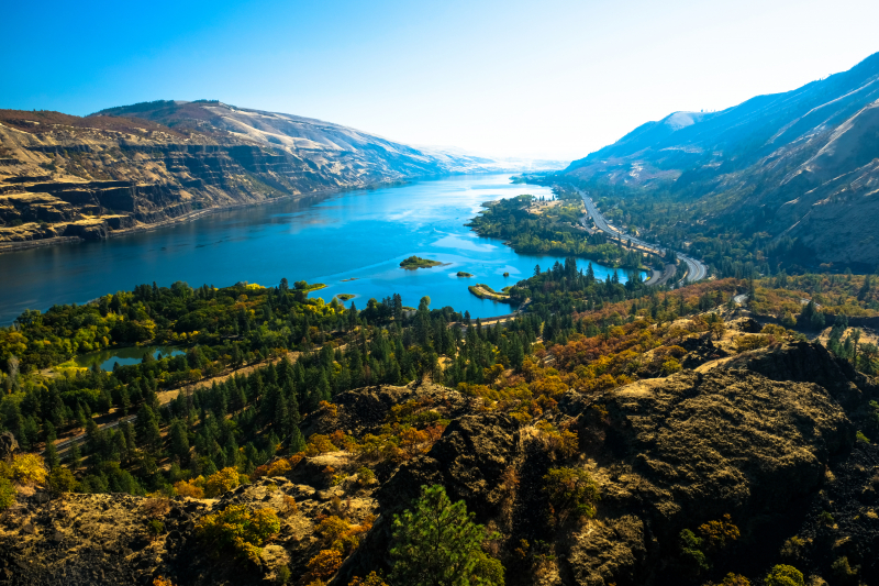
nps.gov -
The Red River, also known as the Red River of the South, is a navigable river in eastern New Mexico that rises in the high plains and flows southeast through Texas and Louisiana to a point northwest of Baton Rouge, where it joins the Atchafalaya River, which flows south to Atchafalaya Bay and the Gulf of Mexico. Until the mid-twentieth century, the Red River supplied water to both the Atchafalaya and the Mississippi via the Old River. However, the river ceased to be a tributary of the Mississippi with the erection of a flood-control system on the Old River. The Red River has a catchment area of 93,000 square miles.
The Great Raft, a 160-mile log bottleneck above Natchitoches, Louisiana, hampered early navigation. Henry Miller Shreve designed the first snag boats to clear the Raft in the 1830s. In 1873, a second log jam was freed. Though southeastern Arkansas, nearly 450 miles upstream, is currently considered the head of navigation, only a few months of the year can vessels with a draft of more than 4 feet go that far. The lowest 35 miles of the river have the highest traffic. As part of a flood-control and river-development program, many reservoirs have been created on tributaries of the Red River in Texas, Oklahoma, Arkansas, and Louisiana.
Length: 1,811 Km
4kredriver.com 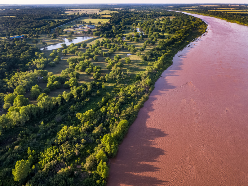
republicranches.com -
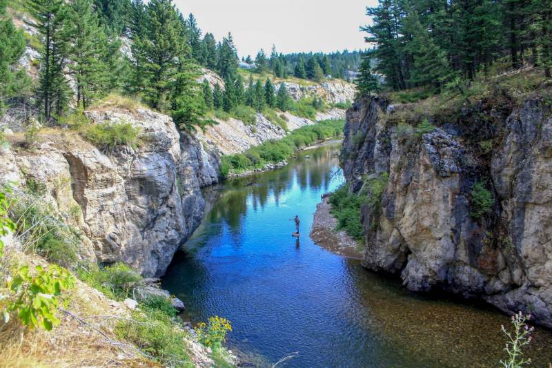
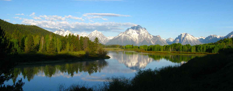
The Snake River is a tributary of the Columbia River, and it runs for 1,674 kilometers. It originates in Wyoming's mountainous area, near Yellowstone National Park, and flows south through Idaho, along the Oregon-Idaho boundary, and into the Columbia River just south of Pasco, Washington. The Snake River is divided into three segments: Upper, Middle, and Lower Snake River segments. The Upper Snake is mostly utilized for irrigation and hydropower generation, while the Middle Snake is similarly channeled into hydroelectric generators. In this way, the river serves as a very potent instrument for the governments that surround it.
Irrigation and electricity are both employed on the upper Snake River above King Hill, Idaho. The Teton Dam failed in 1976, creating catastrophic floods in the upper Snake River basin. Henrys Fork), Blackfoot, Portneuf, Raft, and Big Wood rivers are major tributaries below Heise. The Snake River is entered from the north by Henrys Fork and Big Wood. Other northern side streams go into the Snake River Plain, where they join an enormous subsurface reservoir. Twin Falls and Shoshone Falls, with drops of 65 and 212 feet, are located downstream from Milner Dam near Twin Falls city.
Length: 1,674 Km
americanrivers.org 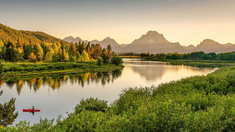
getyourguide.fr -
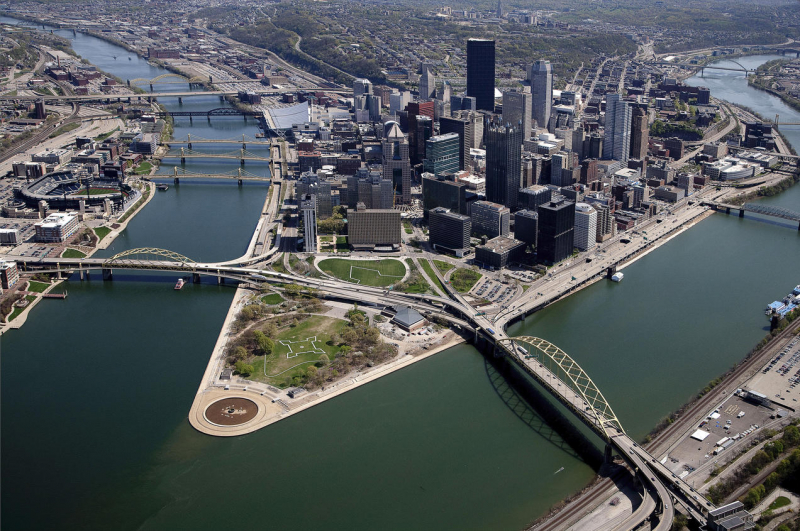
The Ohio River is one of the longest rivers in the United States with a length of 1575 km. It begins in Pittsburgh, where the Allegheny and Monongahela Rivers converge, then runs through or borders five more states: Ohio, West Virginia, Indiana, Kentucky, and ultimately Illinois, where it meets the Mississippi. There are at least 20 dams along the river, which assist to service the more than five million people that rely on it for drinking water.
Though the precise order and lengths of these rivers have been questioned (differences typically originate from where the official start is located, or whether or not specific tributaries are included), one thing is obvious: the United States has a wealth of enormous, lengthy, and beautiful rivers. These significant water sources, each distinct in their own right, serve as drinking water, energy suppliers, and irrigation supplies for most of the United States, running from the northernmost corner to the southernmost state and crisscrossing the country.
The Ohio River is a climatic transition zone because its water flows along the outskirts of humid subtropical and humid continental climate zones. It is home to species and plants from both climates. It frequently freezes over around Pittsburgh during the winter, but very infrequently further south toward Cincinnati and Louisville. It is ice-free all year in areas like Paducah, Kentucky, and Owensboro, Kentucky in the South near the Ohio River's confluence with the Mississippi.
Length: 1,575 Km
nrdc.org 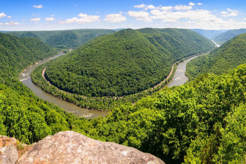
nrdc.org