Cả River

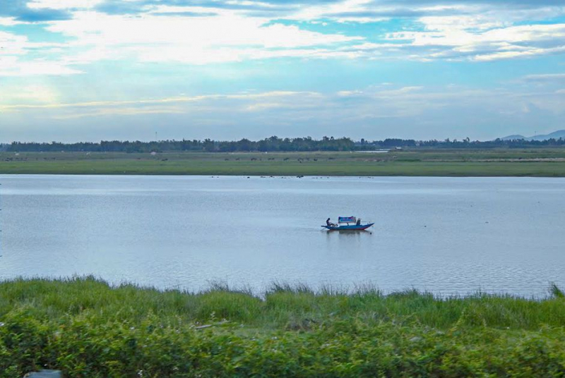
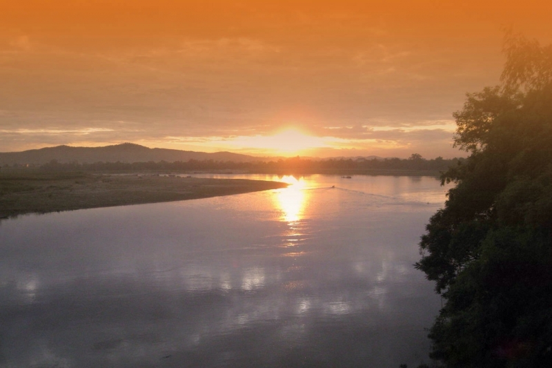
The fifth one in Top 10 Longest Rivers in Vietnam that Toplist would like to introduce to you is Cả River. The Cả River (also known as Lam River) is a river in Southeast Asia's mainland. It begins in Laos' Loi Mountains, flows through Laos' Xiangkhouang Province, Vietnam's Nghệ An and Hà Tĩnh provinces, and empties into the Gulf of Tonkin on Vietnam's North Central Coast after a 513-kilometer journey. The Vietnam Geographical Survey classifies the Cả River zone as 300 km. The Bến Thủy bridge, which connects Bến Thủy and Vinh, crosses the Cả River at the Cửa Hội estuary.
The Cả River plays the following roles in Vietnam:
- Water supply for both domestic and agricultural use.
- Aquatic and seafood resource supply.
- Compensation for alluvial deposits.
- Hydroelectric power generation.
- It is a shipping lane, a berth, and a place for ships to travel.
- The Lam River is one of Vietnam's longest rivers and the lifeblood of Nghe. It has aided in the formation and maintenance of rural historical and cultural traditions imbued with identity. Furthermore, this river provides numerous benefits to the people who live here.
Currently, the Lam River and the Linh mountain are regarded as Nghe's symbols. People in Nghệ An, Hà Tĩnh, have long been proud of their Lam Hồng cultural district.
Length: 513 km (319 mi- shared with Laos)


