


Top 10 Longest Rivers in Vietnam

Vietnam is a South East Asian country with a land area of 128,565 square miles. The landscape of the S-shaped country is made up of highlands, mountains, ... read more...coastal lowlands, and deltas. Vietnam is well-known for its numerous rivers and stunning beaches. The Mekong River, South East Asia's longest river, flows through Vietnam before emptying into the South China Sea. Toplist has compiled the longest rivers in Vietnam
-
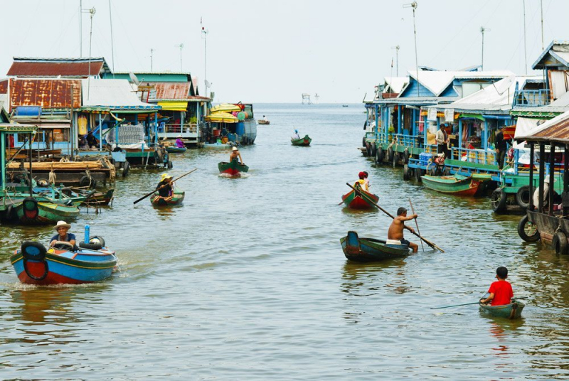
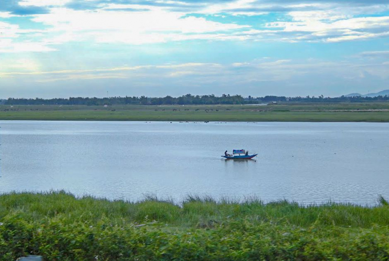
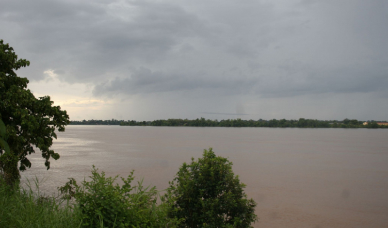
The first one in Top 10 Longest Rivers in Vietnam that Toplist would like to introduce to you is Mekong River. The Mekong River is one of the world's largest rivers and one of Vietnam's longest rivers. The Mekong River flows from China's Tibetan Plateau through Laos, Thailand, Myanmar, Cambodia, and Vietnam. The Mekong River splits into two tributaries near Phnom Penh. On the right is the Ba Thac River (also known as the Hau Giang or Hau River in Vietnam); on the left is the Mekong (in Vietnam called Tien Giang or Tien River). Both of these rivers flow into southern Vietnam's vast delta region. Currently, the Mekong River is the longest river that flows through the territory of Vietnam.
The Mekong River is essential to the people of the Southern Delta. It contributes significantly to economic development, for example:
- It aids in the regulation of water resources in the countries through which it flows.
- Aids in flow regulation.
- Managing agricultural water sources.
- Production of hydroelectricity.
- Bring back a plentiful supply of seafood.
- Compensation for alluvial deposits.
- Water transportation is convenient.
The Mekong River, with its unique roles, is vital to the Vietnamese economy. The Mekong Delta, in particular. Not only is the Mekong River Vietnam's longest river, but it also serves as a haven for a wide range of ecosystems across the country, all of which must be protected.
Length: 4,350 km (2,700 mi- shared with 5 other countries)
aquaexpeditions.com 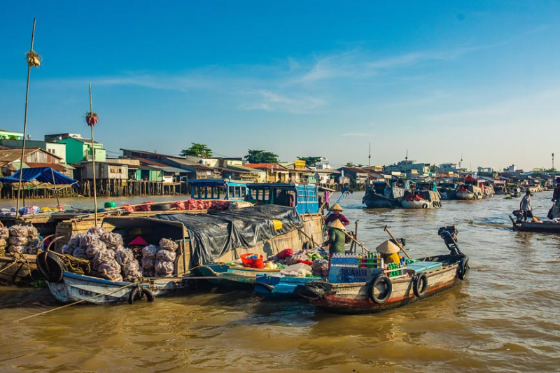
vietnam.travel -
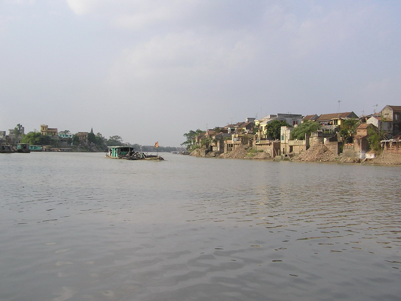
The second one in Top 10 Longest Rivers in Vietnam that Toplist would like to introduce to you is Red River. The Red River, also known as the Hong River (Vietnamese: Sông Hồng), the Hồng Hà and Sông Cái in Vietnamese and the Yuan River in Chinese, is a 1,149-kilometer (714-mile)-long river that flows from Yunnan in Southwest China to the Gulf of Tonkin. According to C. Michael Hogan, the associated Red River Fault played a role in the formation of the entire South China Sea as early as 37 million years ago. In China, the name red and the southern position are associated in traditional cardinal directions.
The Red River begins in the mountains south of Dali in China's Yunnan province. The main headstreams, the Leqiu River, the Xi River, and the Juli River, all confluence at Nanjian to form the Lishe River. At Hongtupo, Chuxiong Prefecture, the Lishe River joins another headstream, the Yijie River. It flows southeast, passing through Yi and Dai ethnic minority areas before exiting China via Yunnan's Honghe Autonomous Prefecture. It enters Vietnam at Lào Cai Province and forms part of China's and Vietnam's international border. For this upper stretch, the river is known as the Thao River, and it flows southeast through northwestern Vietnam before emerging from the mountains and reaching the midlands. Its two main tributaries, the Black River (Da River) and the Lô River, join to form the very broad Hng near Việt Trì, Phú Thọ Province.
The Red River Delta is formed by the river and its main distributaries, the Đuống River, Kinh Thầy River, Bạch Đằng River and the Thái Bình river system, which flow downstream from Việt Trì. The Red River flows through Hanoi, Vietnam, before emptying into the Gulf of Tonkin. Its estuary is a Ramsar site and the focal point of the Xuân Thủy National Park.
The river gets its name from its reddish-brown, silt-filled water. The Red River is well-known for its violent floods and seasonal volume fluctuations. Seasonal flooding is exacerbated by erosion, development, and pollution. The delta is a major agricultural area in Vietnam, with a large area dedicated to rice cultivation. An intricate network of dikes and levees protects the land.
Length: 1,149 km (714 mi- shared with China)
travelnews.vn 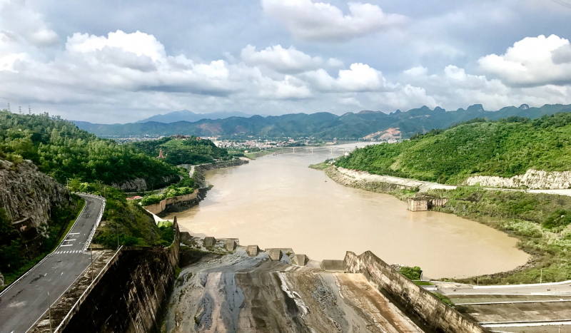
blogs.nottingham.ac.uk -
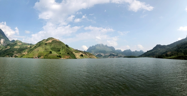
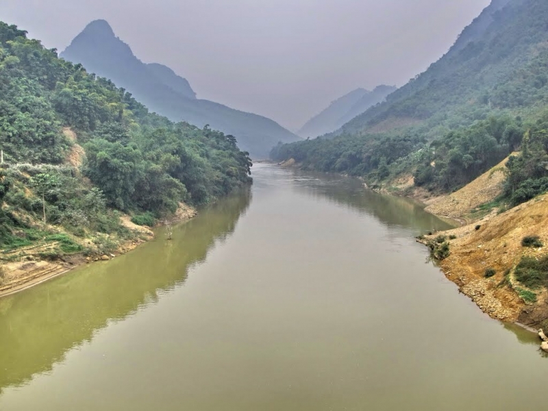
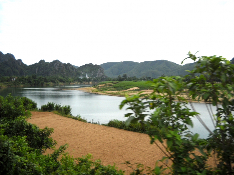
The third one in Top 10 Longest Rivers in Vietnam that Toplist would like to introduce to you is Black River. The Black River (Vietnamese: Sông Đà) is a river in China and northwestern Vietnam. Its origin is in the Chinese province of Yunnan. The river flows from China through the Vietnamese provinces of Lai Châu (where it forms part of the border with Điện Biên Province), Sơn La and Hòa Bình.
The Black River is the most important tributary of the Red River, which it joins near Việt Trì in Phú Thọ Province in Tam Nông District. It is also part of the border between Phú Thọ Province and Hanoi (previously with Hà Tây Province). The river's total length is 910 kilometers, with approximately 427 kilometers in China and 527 kilometers in Vietnam.
The Black River generates a significant amount of hydroelectric power.
On the Black River in Vietnam, there are three large hydroelectric plants. The Hòa Bình Dam was finished in 1994. The Sơn La Dam was completed in 2012, making it Southeast Asia's largest hydroelectric producer. On December 20, 2016, the Lai Châu Dam in the Mường Tè District of Lai Châu Province was dedicated. These three dams have a total installed power capacity of 5520 megawatts.
Length: 910 km (570 mi- shared with China)
en.qdnd.vn 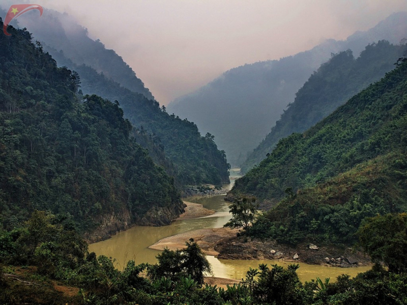
vietnamtravelphotos.com -
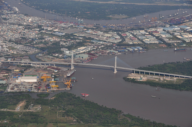
The fourth one in Top 10 Longest Rivers in Vietnam that Toplist would like to introduce to you is Dong Nai River. The Dong Nai River (Vietnamese: sông Đồng Nai) is a river in Vietnam that flows from the Central Highlands region in the country's south. It is approximately 568 kilometers long, making it the longest river in Vietnam. It is the source of the name Đồng Nai Province. Nông-nại, which means shallow salt-marsh in Khmer, was the original Vietnamese name.
The Dong Nai River flows through the provinces of Lam Dong, Dak Nong, Binh Phuoc, Dong Nai, Binh Duong, and Ho Chi Minh City. If measured from the source of the Đa Dâng River, it is 586 km long. It is 487 kilometers long from its confluence with the Đa Nhim River below the Pongour waterfall. In Cần Giờ District, the Dong Nai River empties into the East Sea.
The upstream main stream of the Dong Nai river is also known as the Đa Đang river. The river originates on the Lam Vien plateau and flows northeast-southwest from the mountains to the Ta Lai plateau (Tan Phu district, Dong Nai province). The river serves as a natural boundary between Đăk R'Lấp District (Dak Nong) and Bảo Lâm District, Lâm Đồng Province, Cát Tiên District, Cát Tiên and Bù Đăng Districts, Tan Phu District, Dong Nai, and Tan Phu and Đạ Tẻh District.
The Dong Nai River, after meeting the Bé River, forms a natural boundary between Dong Nai on the east and Bình Dương Province on the west bank.
The river flows through Bien Hoa City and then along the border between Dong Nai and Ho Chi Minh City, as well as between Ba Ria - Vung Tau and Ho Chi Minh City.
Length: 568 km (353 mi)
en.wikipedia.org 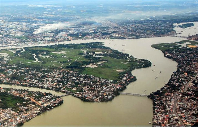
vietnamnews.vn -
The fifth one in Top 10 Longest Rivers in Vietnam that Toplist would like to introduce to you is Cả River. The Cả River (also known as Lam River) is a river in Southeast Asia's mainland. It begins in Laos' Loi Mountains, flows through Laos' Xiangkhouang Province, Vietnam's Nghệ An and Hà Tĩnh provinces, and empties into the Gulf of Tonkin on Vietnam's North Central Coast after a 513-kilometer journey. The Vietnam Geographical Survey classifies the Cả River zone as 300 km. The Bến Thủy bridge, which connects Bến Thủy and Vinh, crosses the Cả River at the Cửa Hội estuary.
The Cả River plays the following roles in Vietnam:
- Water supply for both domestic and agricultural use.
- Aquatic and seafood resource supply.
- Compensation for alluvial deposits.
- Hydroelectric power generation.
- It is a shipping lane, a berth, and a place for ships to travel.
- The Lam River is one of Vietnam's longest rivers and the lifeblood of Nghe. It has aided in the formation and maintenance of rural historical and cultural traditions imbued with identity. Furthermore, this river provides numerous benefits to the people who live here.
Currently, the Lam River and the Linh mountain are regarded as Nghe's symbols. People in Nghệ An, Hà Tĩnh, have long been proud of their Lam Hồng cultural district.
Length: 513 km (319 mi- shared with Laos)
yeudulich.com 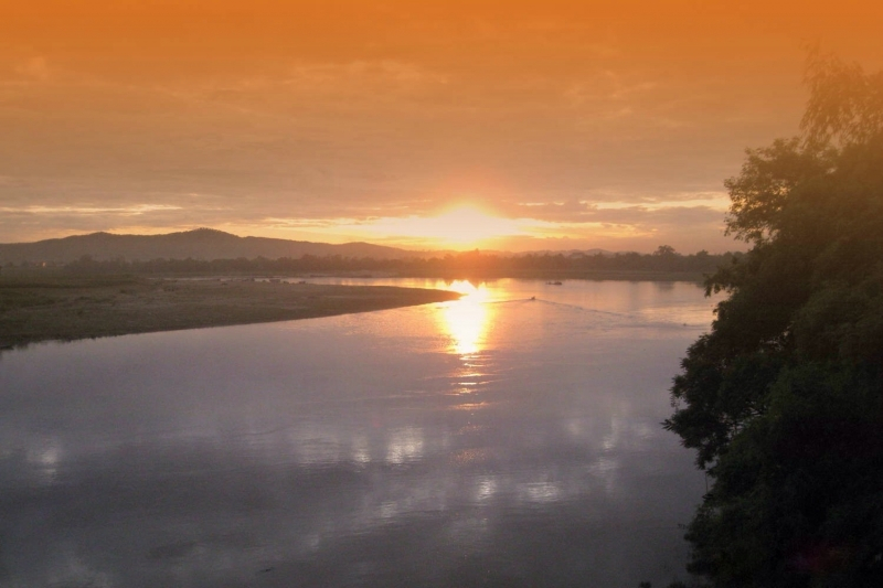
https://toplist.vn/ -
The Ma River (Vietnamese: Sông Mã) is an Asian river that flows through northwestern Vietnam. It runs through Vietnam, Laos, and back through Vietnam before reaching the sea in the Gulf of Tonkin.
The Chu River (or the Nam Sam River in Laos), the Bi River, and the Cầu Chày River are the Ma River's main tributaries. They all flow into the Ma River in Thanh Hóa Province, North Central Vietnam. The Ma River forms the Ma River Delta (also known as the Thanh Hóa Delta), Vietnam's third largest.
The Ma River Delta was once close to Vietnam's southern border. In the 2nd century BC, it was the center of Cuu-Chan, the southern of Vietnam's two prefectures under the rule of the Nanyue.
Not only does it serve as a large source of water for hydroelectricity. Song Ma also has a number of other responsibilities, including:
- Agriculture requires water.
- Water supply for hydroelectric power plants.
- Bring a plentiful supply of seafood.
- Downstream flood prevention.
- The Ma River's most important role is as a source of abundant hydropower potential and the primary power supply unit for the surrounding communities.
This longest river in Vietnam is currently the pride of the people of the North of Vietnam.
Length: 512 km (318 mi- shared with Laos)
https://toplist.vn/ 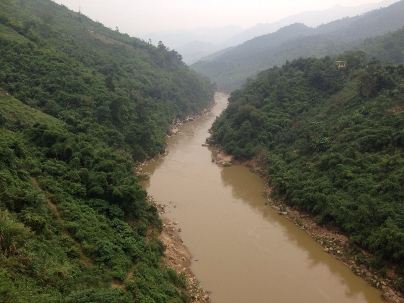
https://toplist.vn/ -
The Kong River (Vietnamese: sông Sê Kông) is a river in Southeast Asia that is also known as the Xe Kong or the Se Kong. The river begins in Central Vietnam's Thừa Thiên–Huế Province and flows 479 kilometers (298 miles) through southern Laos and eastern Cambodia. It flows into the Mekong River near the Cambodian town of Stung Treng. A portion of its path forms the international border between Laos and Cambodia.
The Sekong River has tributaries that originate in the Truong Son mountain range near the border of North-Central Vietnam and South Laos, flow west and southwest through the provinces of Sekong, Attapeu in Southern Laos, Stung Treng in Northeastern Cambodia, and then empty into the Kong River near Stung Treng town.
The entire Sekong basin is 29,750 km2 wide, with 750 km2 on Vietnamese territory (around the A Sap and Se Kaman rivers originating in Kontum), 23,000 km2 in Laos, and 5,400 km2 in Cambodia.
Length: 479 km (298 mi- shared with Cambodia and Laos)
iucn.org 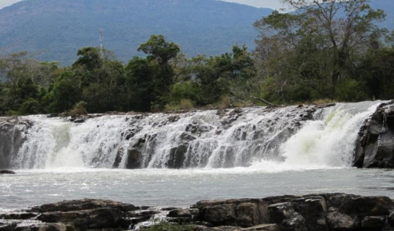
Sekong Dam (Photo: iucn.org) -
The Srepok River (Vietnamese: Sông Serepôk) is a significant tributary of the Mekong River. It flows from the Central Highlands of Vietnam's Đắk Lắk Province through Cambodia's Ratanakiri and Stung Treng provinces to join the Mekong near Stung Treng town. Its length is about 406 km, with the final 281 km in Cambodian territory. The Srepok River has three major tributaries: the Krông Nô, Krông Ana, and Ea H'leo Rivers. In Stung Treng province, the Srepok joins the Sesan and Kong rivers before joining the Mekong. It is also known as the Dak Krong River in Vietnam.
The Srepok River is formed by two tributaries, the Krông Nô and Krông Ana rivers, on the western side of the South Annamite Mountain Range in Vietnam's Central Highlands province of Đắk Lắk. It runs through the districts of Krông Ana, Buôn Đôn, and Ea Súp to the west. The Srepok River meets the Ea H'leo River as it enters Cambodian territory. It passes through the Cambodian provinces of Ratanakiri and Stung Treng. Before entering the Mekong, it is joined in Stung Treng by the Se San River and then by the Se Kong River.
The river runs approximately 126 kilometers from the confluence of the Krông Nô and Krông Ana rivers to the Vietnam–Cambodia border. The distance from the border to Stung Treng is approximately 281 kilometers.
Length: 406 km (252 mi- shared with Cambodia)
yeudulich.com 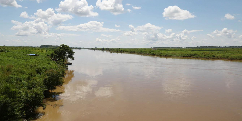
asia.oxfam.org -
Chu River (Vietnamese: Sông Chu), also known as the Nam Sam River or Nam Xam River (Laos), is the largest tributary of the Ma River. It begins at 2062m near Xam Neua town in Houaphanh Province in eastern Laos and travels east through Vietnam's Nghệ An and Thanh Hóa provinces. In Thiệu Hóa, it joins Ma River on the left. The Ma River is an Asian river that flows through northwestern Vietnam. It runs for 400 kilometers through Vietnam, Laos, and back through Vietnam before reaching the sea in the Gulf of Tonkin. The Chu River, along with the Bi River, and the Cầu Chày River all flow into the Ma River in Thanh Hóa Province, North Central Vietnam
The river is 325 kilometers long (165 kilometers in Laos and 160 kilometers in Vietnam), with a drainage area of approximately 7,580 kilometers (4,570 km2 in Laos and 3,010 km2 in Vietnam).
Length: 325 km (202 mi- shared with Laos)
simple.wikipedia.org 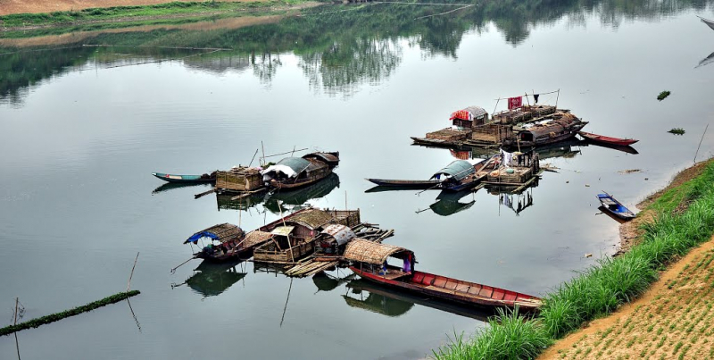
mapio.net -
The Gianh River (Vietnamese: Sông Gianh) is a river on Vietnam's North Central Coast (Bắc Trung Bộ ) in the Quảng Bình Province. The river runs for 268 kilometers (167 miles).
It served as the border between ruling families during Vietnam's partition following the Trịnh–Nguyễn War of the 17th century, effectively dividing the country into northern and southern regions. From 1954 to 1975, the 17th parallel served as the border between North and South Vietnam and was located just to the south, at the Bến Hải River River in Quảng Trị Province.
Gianh river is 268 kilometers long (121 kilometers of which are managed) and consists of:
- Nay head-waters is 130 km long
- Rao Tro head-waters is 40 km long
- Rao Nan head-waters is 34 km long
- Son head-waters is 64 km long
- Tide-mark (amplitude) 1,9-2,2 m, averagely 1,2-1,35 m
Length: 268 kilometres (167 mi)
en.wikipedia.org 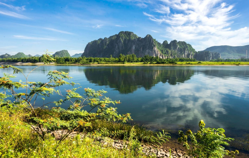
phongnhaexplorer.com


